Henry Coe State Park 2025
Prologue
I’d backpacked in Henry Coe SP back in the 90s with my wife, Paula. We could remember heat and pigs. That was it. Revisiting had been on my radar for years. There aren’t many places in my part of CA to backpack during the winter and early spring sans snow and finding a new spot has been a goal for a long time. Spot found! Shorter winter days tend to make it challenging to get in the big miles I desire, but I did my best.
Day 1
18.91 Miles
4,767 ft. of Elevation Gain
6,211 ft. of Elevation Loss
7 Hours of Moving Time
On the 25th anniversary of taking my first steps on the 2,167-mile Appalachian Trail, I arrived at the Henry Coe Visitor Center. I was lucky enough to meet a Park Ranger named Manny. I ran my route past him and he helped me understand the terrain a bit better as well as help me dial in a clockwise as opposed to counterclockwise route. This would end up being a huge advantage over my 4 days.
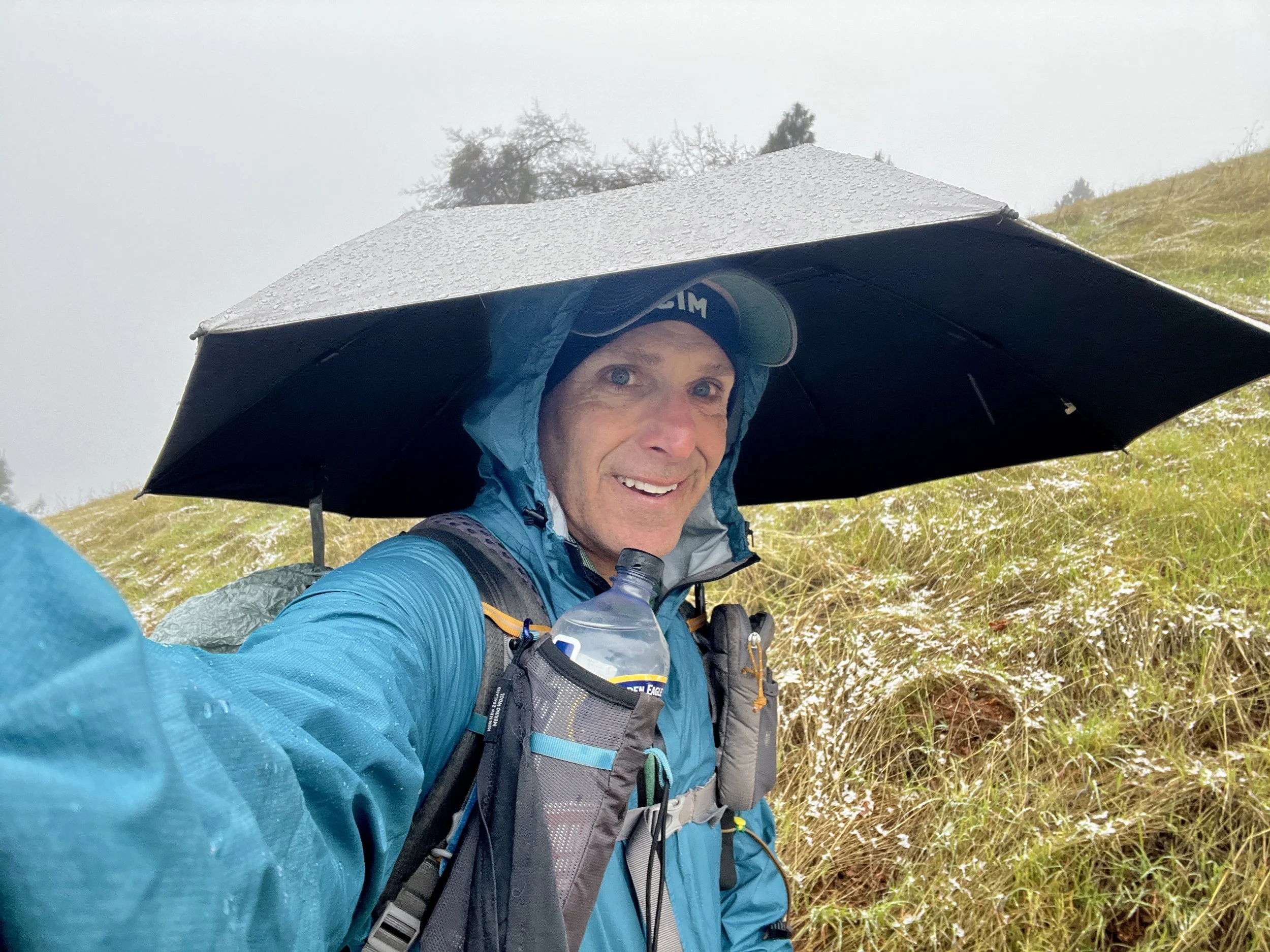
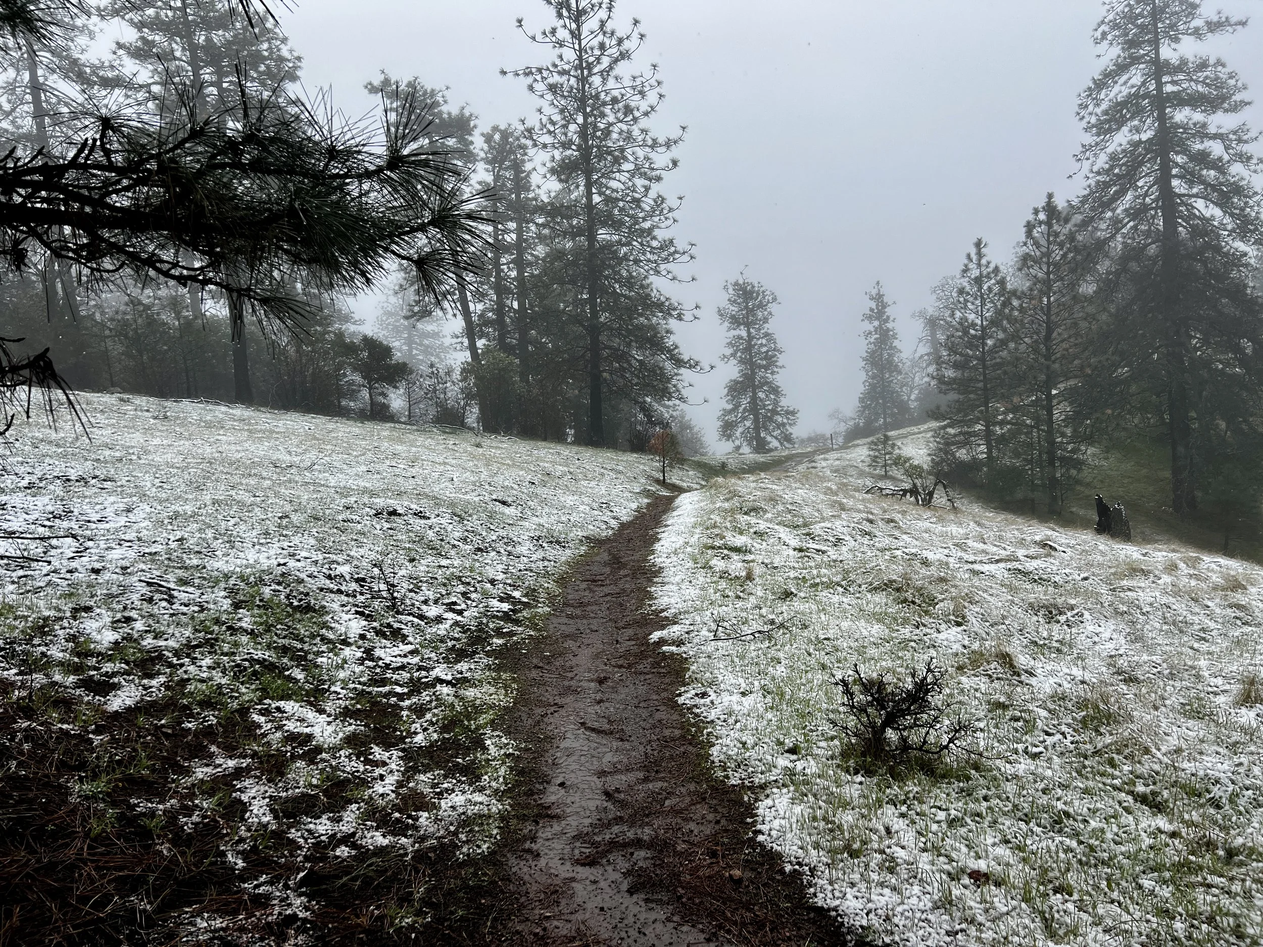
I hit the trail at 9:45am. It was 33 degrees F and snowing. The forecast showed two days/nights of very cold temperatures with a variety of mixed precipitation followed by two days of warmer temperatures and no precipitation. Moving through the more challenging weather at the start of the trip sounded good to me.
The Monument Trail was a pleasant single track that climbed a bit and dropped a bit more meandering through oak trees. Luckily, I decided to bring my umbrella on this trip. Although I’d brought it on other trips, I’d never used it much (except last summer on the Long Trail). In very cold precipitation, I find it works best for me to wear full rain gear and also carry an umbrella. The umbrella keeps the icy cold wetness off of me for the most part, and helps me stay much drier, but more importantly, warmer. To be able to regulate my temperature in conditions like this is essential. Monitoring my effort while zipping and unzipping my jacket front zipper and pit-zips allows me to make sure I’m staying warm, but not working up a sweat that when stopped, even for a few seconds, can chill me to my bones. It’s a bit of work to manage all the moving pieces, but it sure makes the work far more enjoyable (and sometimes less terrible).
About a mile in, I had my umbrella up and was enjoying the views when BAM!! I walked into a large tree branch extending over the trail. A good reminder that I needed to make sure to look ahead every 10-15 steps, as the umbrella hides my upward vision. It would be the only time this would happen, but I saw a few stars for sure.
A bit later, I hit Hobbs Road. This would be my least-favorite stretch of the entire trip. Maybe it was the extreme weather (rain, snow, and gusty winds), but I think it was the fact that it was just a bit boring in terms of scenery.
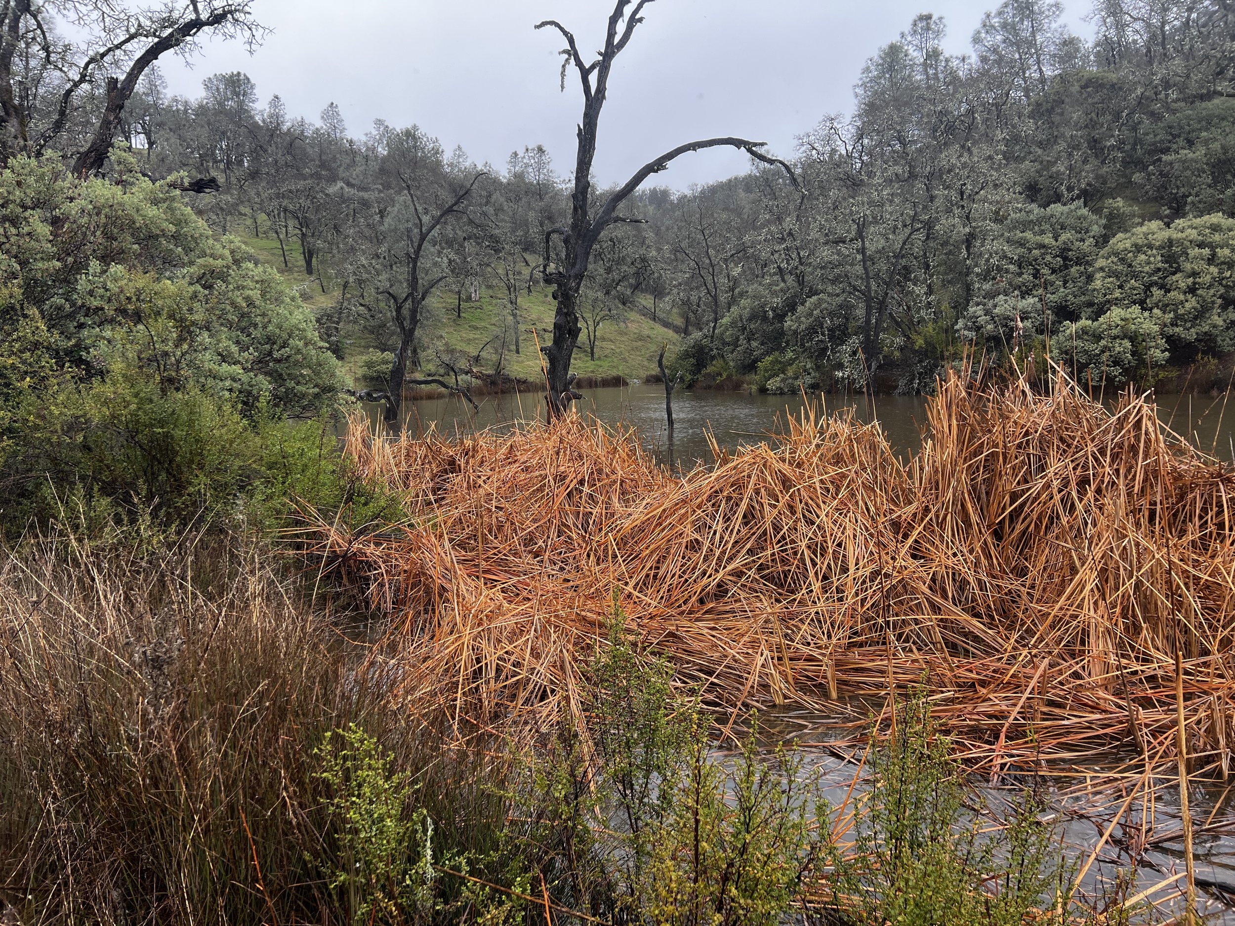
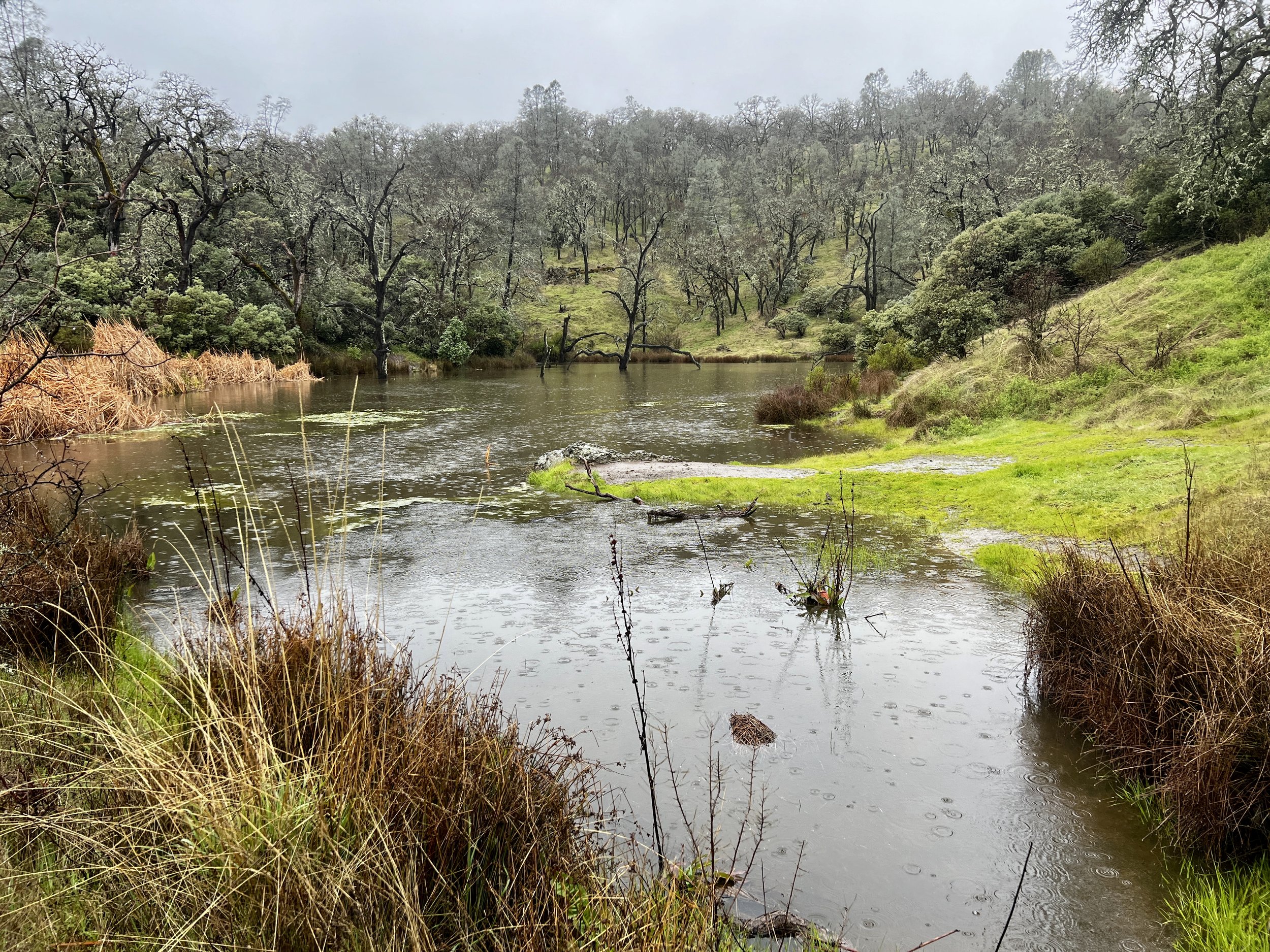
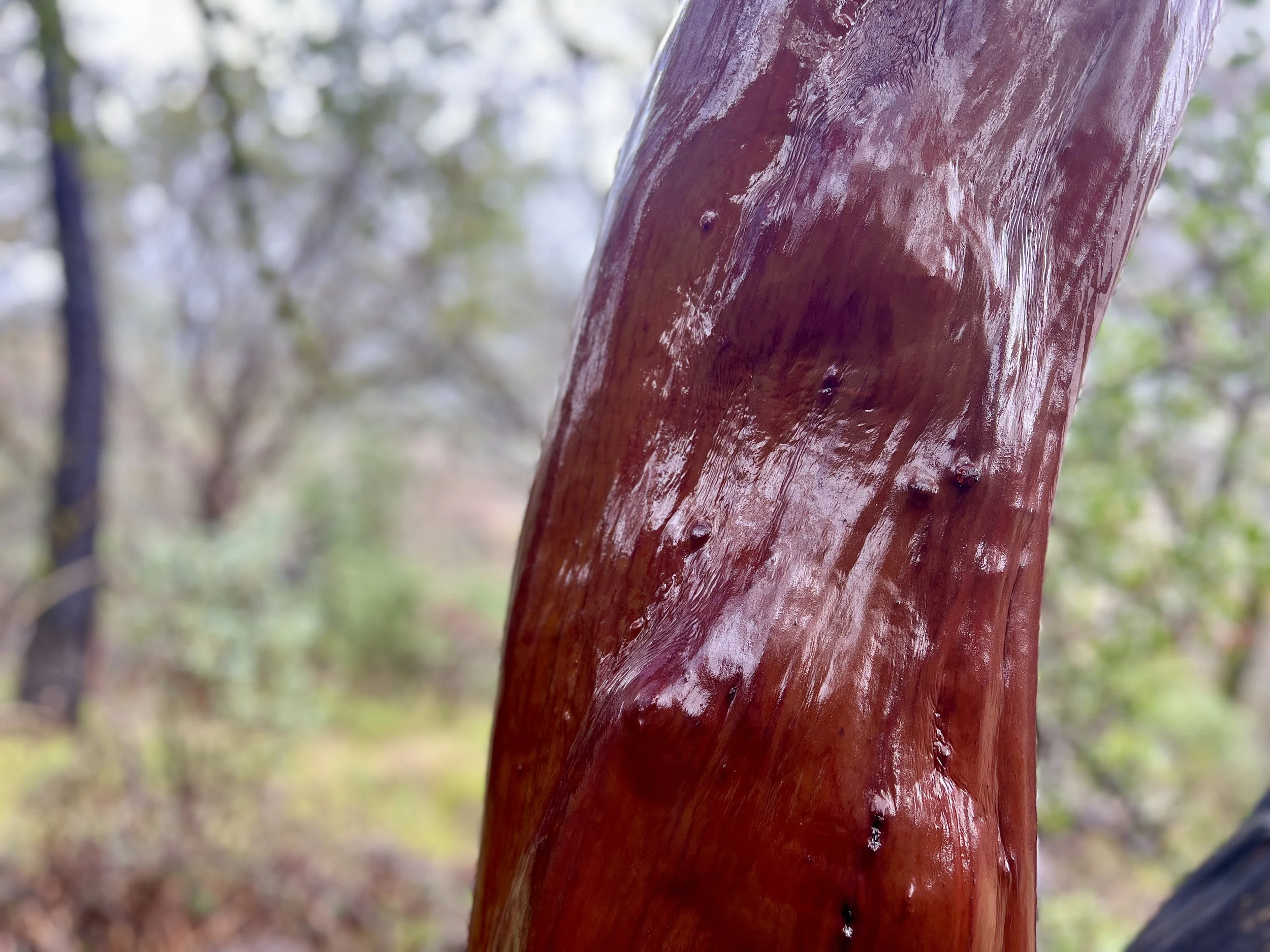
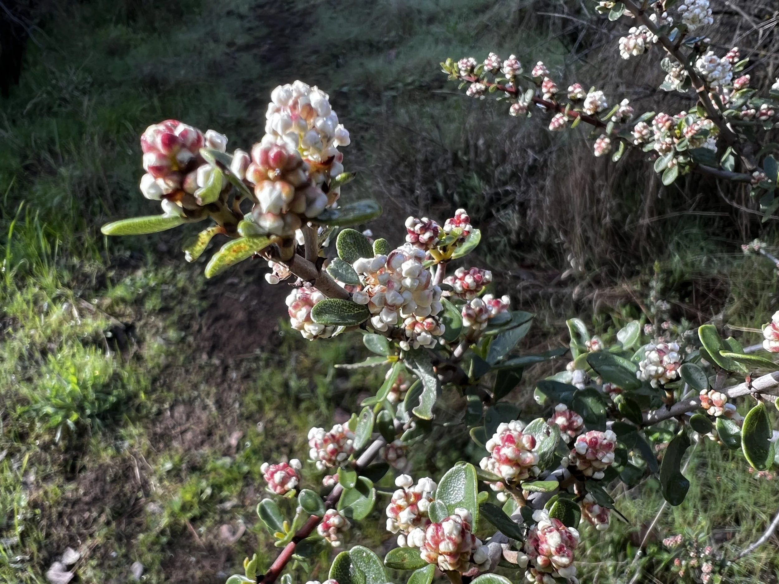
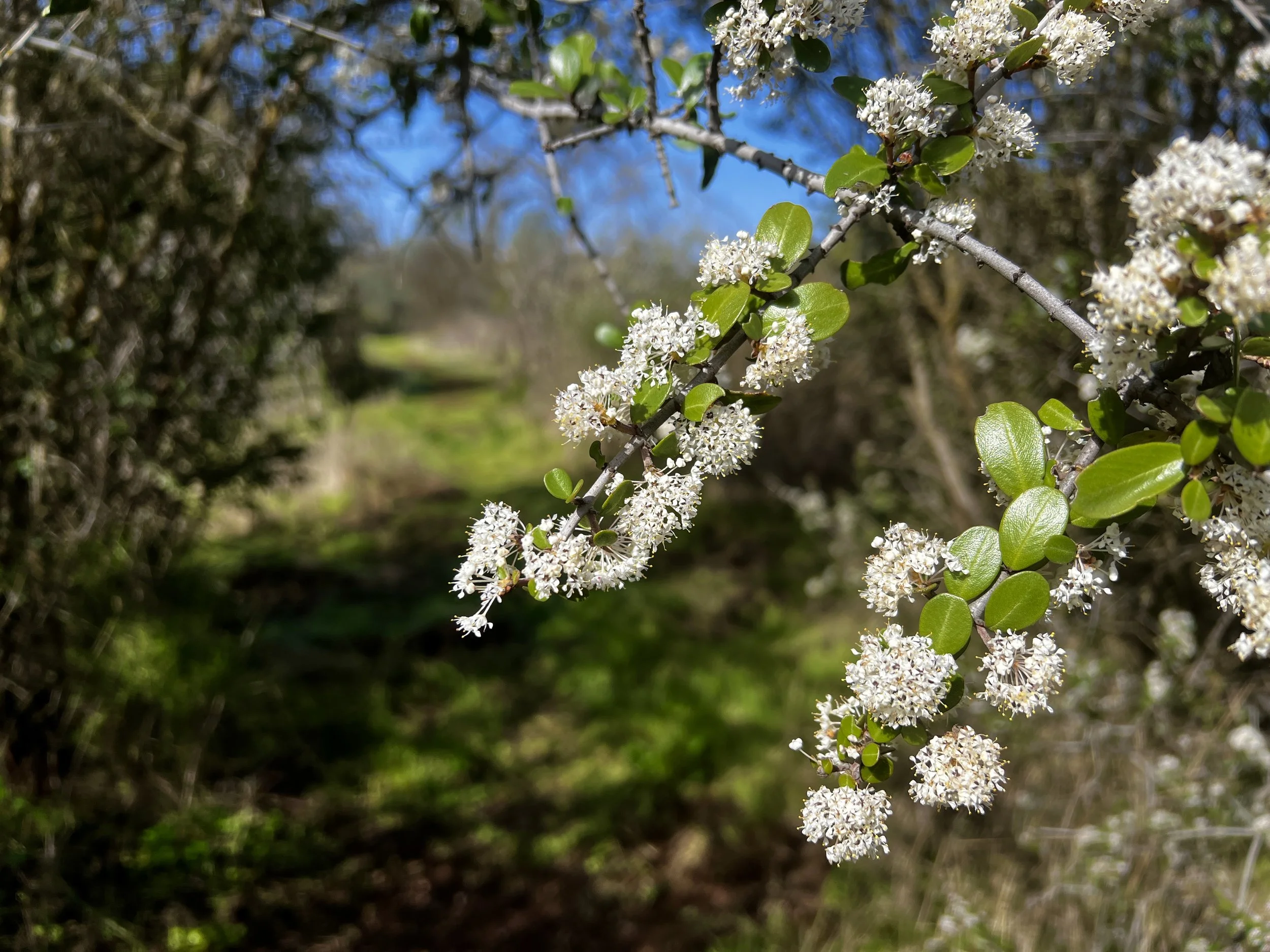
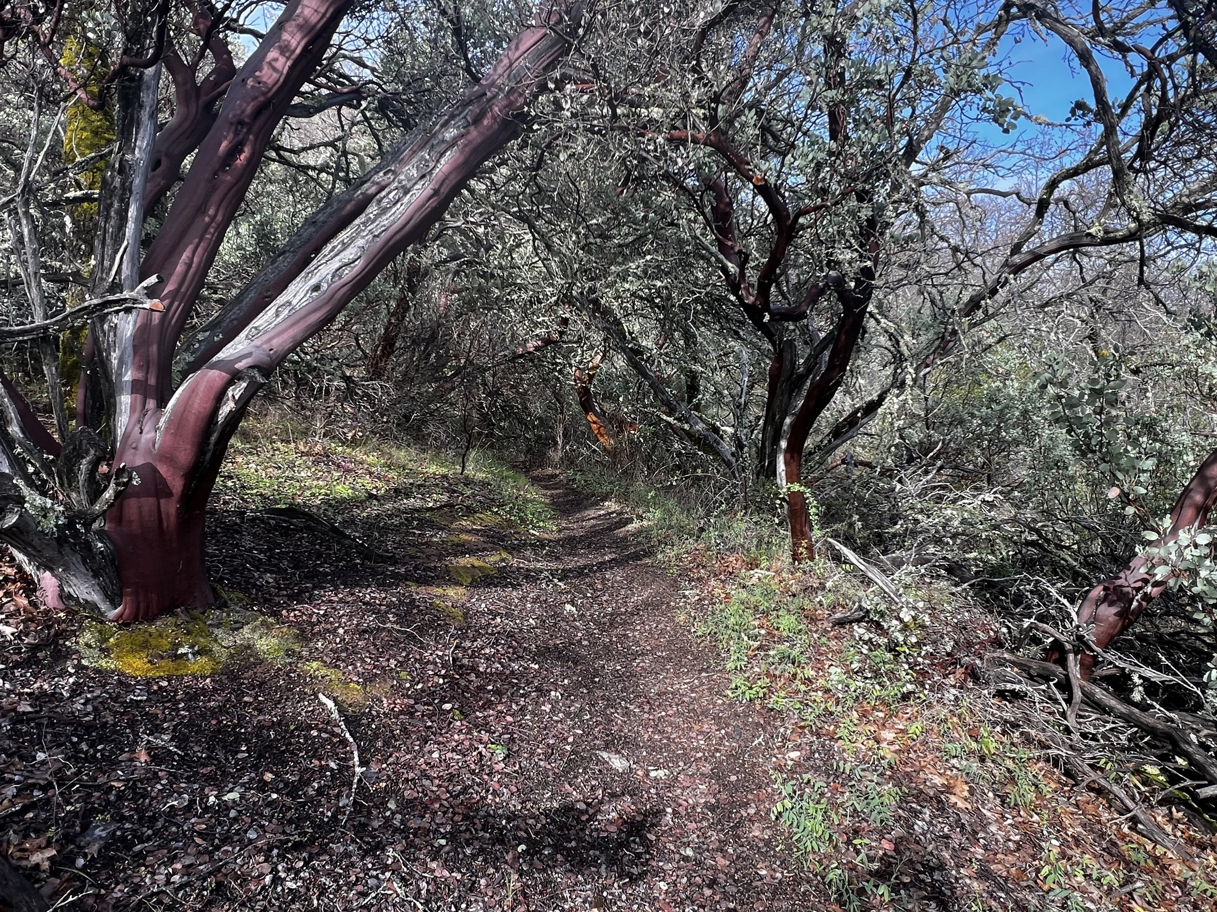
I took a slight break from the road on the Frog Lake Trail. A single track with a quaint small pond. The variety of colorful foliage was beautiful. The wet Manzanita was stunning.
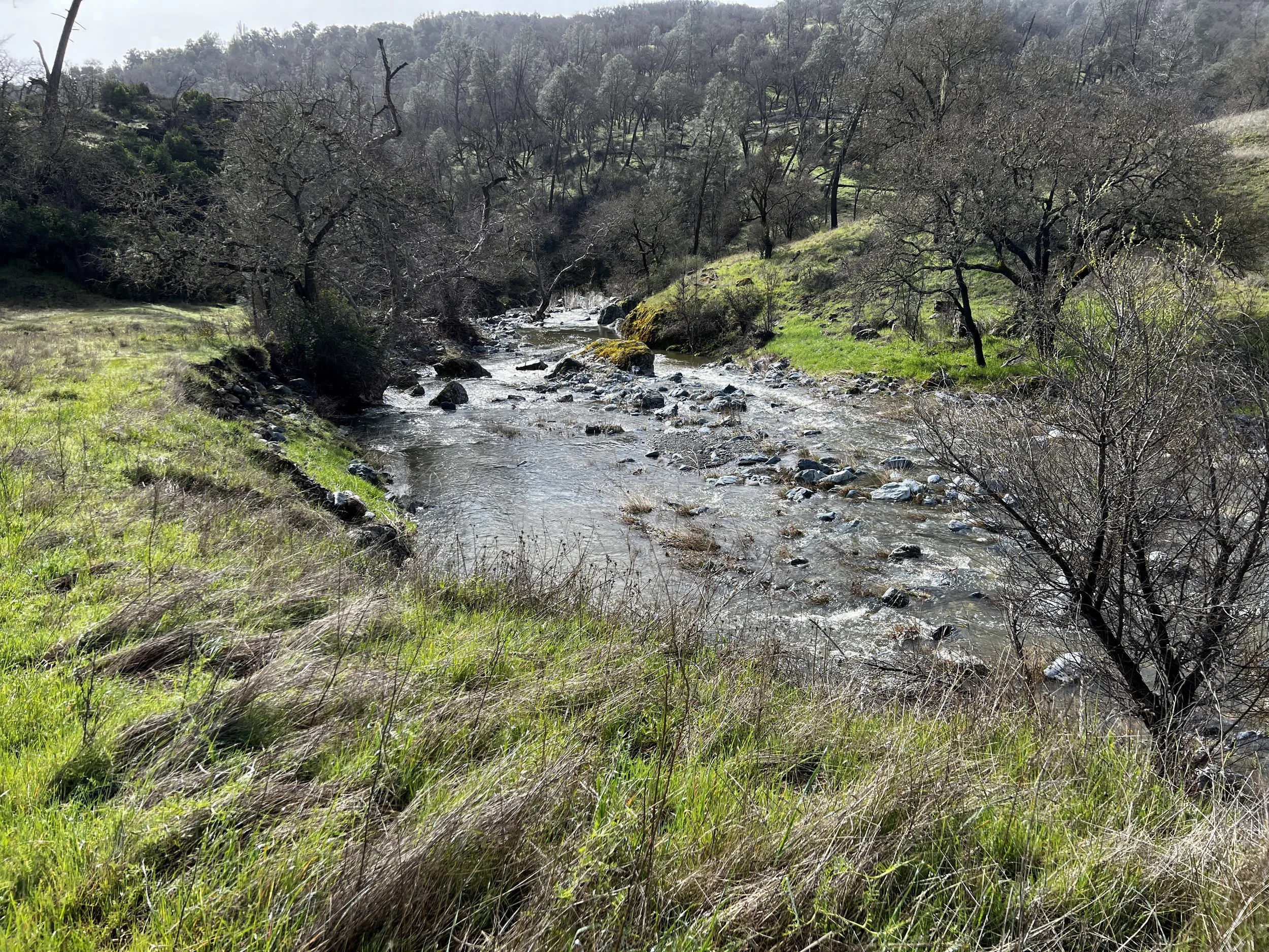
The crossing of the Middle Fork Coyote Creek was deep. There were no dry crossing options whatsoever. I stripped down, threw on my Deliberate Life Designs sandals and made my way to the other side. The flow wasn’t fast, just deep.
After drying off, it was up up up, 1500 ft, on Hobbs Road until turning off on Blue Ridge Road and gaining the crest of the ridge. This was also when the winds and snowfall both really picked up.
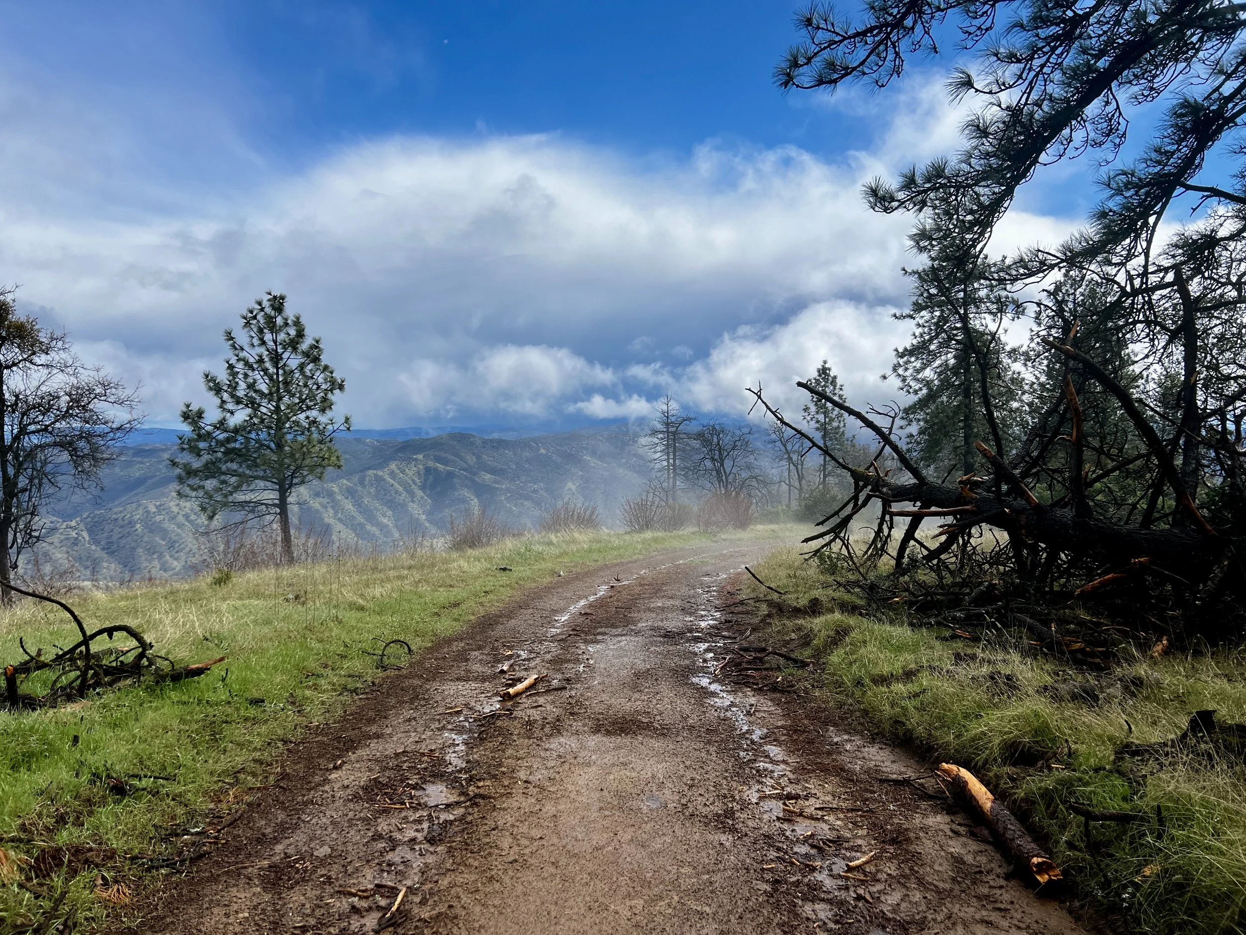
I skipped Mt. Sizer as visibility was maybe 100 yards. I fought the weather as Blue Ridge Road dropped 1900 ft. in elevation. By the time I joined Bear Mountain Road, the weather cell had blown through and I was left with cold winds and big northwestern views.
The weather got warmer and then “hot!” It was probably in the high 40s or very low 50s, but the 1300 foot climb in the full sun left me soaking wet with sweat. The heat and scenery together made this my least favorite five or so mile stretch of the hike. With that being said there were some beautiful spots.
At mile 15 for the day, it was time to cross the private property through the Orestimba Wilderness. I’d been told by multiple Rangers to “just keep moving and don’t stop.” What I hadn’t been told was that I’d have to climb a 5 ft. gate to get started. Later, it was explained to me that the gate is there so that other local property owners don’t have access to the road. Makes perfect sense. But what made no sense at all to me was why there wasn’t a stile, kissing gate, or step-through for hikers to use rather than climbing the gate. That would have made a lot more sense.
I moved through exactly one mile of private property quickly and, at the far northern edge, joined the Chaparral Trail. It was 5:30 pm and I’d hiked a bit over 16 miles for the day. My plan had been to do 12-15 miles. The Chaparral Trail was overgrown in many places, filled with…you guessed it…chaparral, and descending a ridge with nowhere to put a tent.
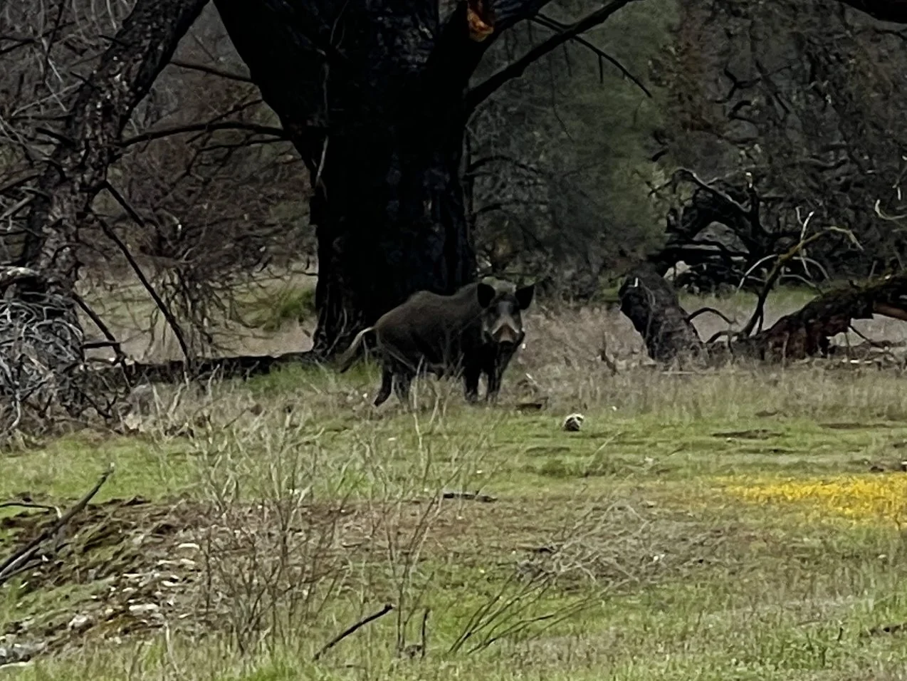
Even though I was losing light, I decided to descend the 2 miles and 1,000 feet and, in no time at all, arrived at Red Creek. In the last half mile of descent, I spotted a family of wild pigs down in the bottom of the canyon. They heard me and took off running. These pigs are descendants of released domestic pigs and Russian wild boar; a mix of domestic and wild boar ancestry. I’d read about these pigs for years, knew they could be aggressive, and wasn’t looking forward to encounters.
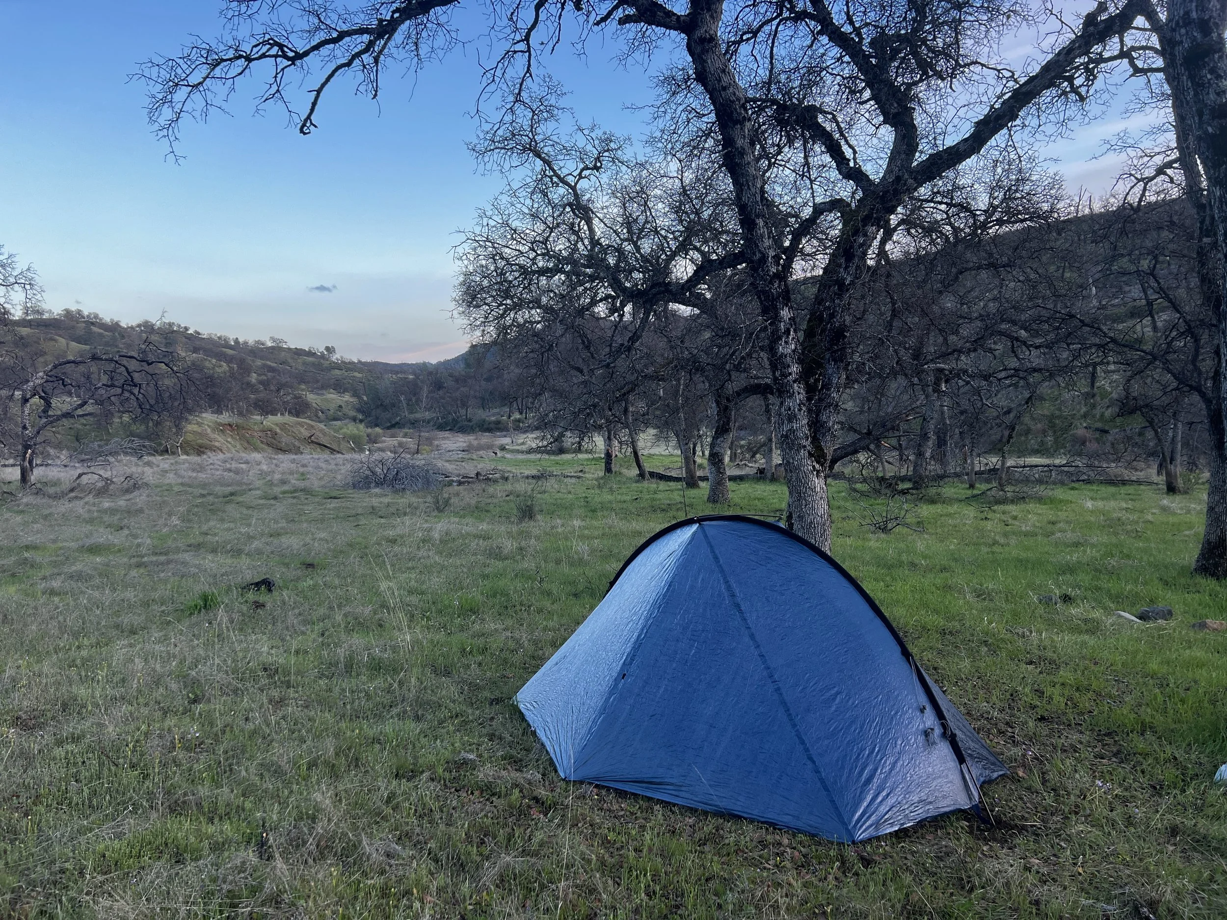
I found an amazing camp spot at 1300 feet, about 50 feet above the creek, and was glad to be able to set up camp, at a low elevation, before the precipitation came back in.
It was a long, challenging, sometimes a bit dull, but most of the time stunning day.
Day #2
17.40 Miles
36.31 Total Miles
3,796 ft. of Elevation Gain
3,343 ft. of Elevation Loss
8 ½ Hours of Moving Time
It was a cold, wet night. Temps dropped into the low 30s and it snowed on and off most of the night until right around 8am. There was enough rain mixed with the snow that not a lot stuck to the ground. But it did stick to the tent. The mountains around me were covered in the white stuff when I finally got going at 9:45. From weather reports before I left home, I knew that this day would give me the most challenging weather of the trip, so I’d decided to get a bit of a later start when it had warmed up a bit and there was supposed to be a break in the weather. I guessed right.
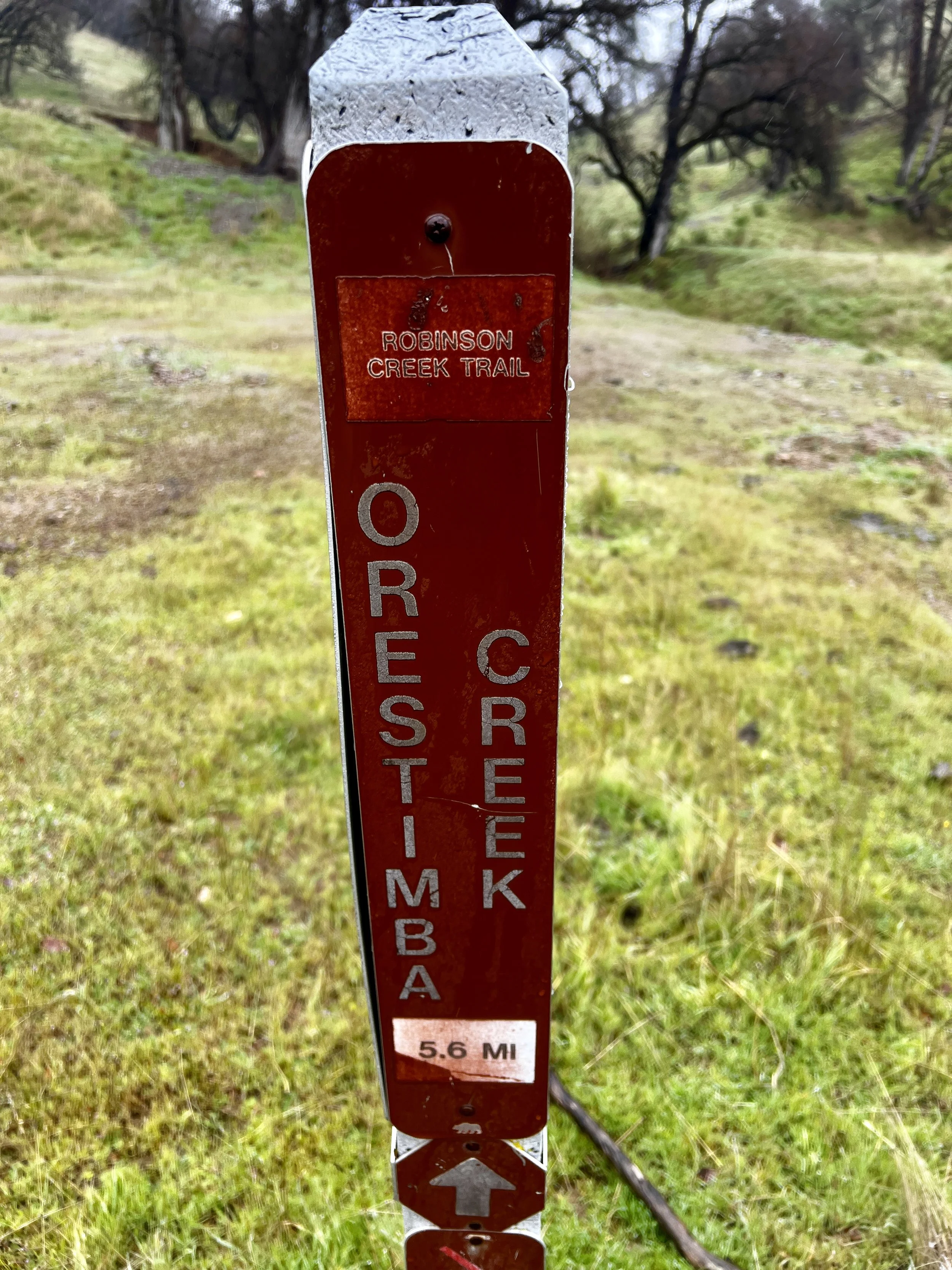
My morning route took me a couple hundred yards southeast down Red Creek and then I turned abruptly north on the Robison Creek Trail. I was kind of confused about the name of this trail since the Ranger and maps all call it “Robison,” but the trail signage calls it “Robinson.” Hmmmm.
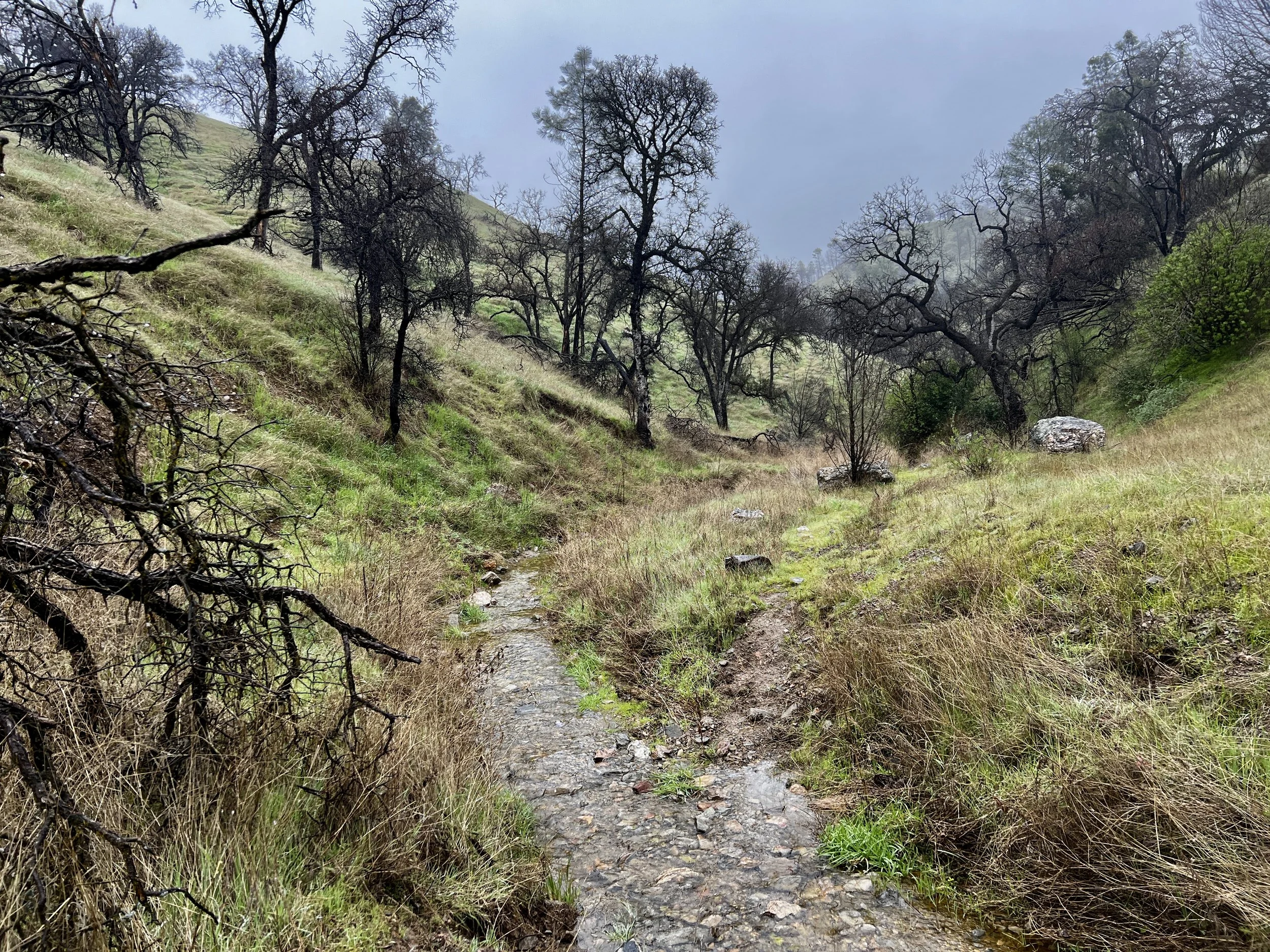
I’ve got a handful of “favorite” sections of this loop. Regardless of the off and on rain over the next 6 miles, this was one of them. The trail climbed a bit at first but then dropped down to the creek and followed it closely crossing many times. It was shallow and small and there were easy-to-find places to get across while staying dry. The next 4 miles were very enjoyable.
There were tons of deer, quail, and gray foxes as well.
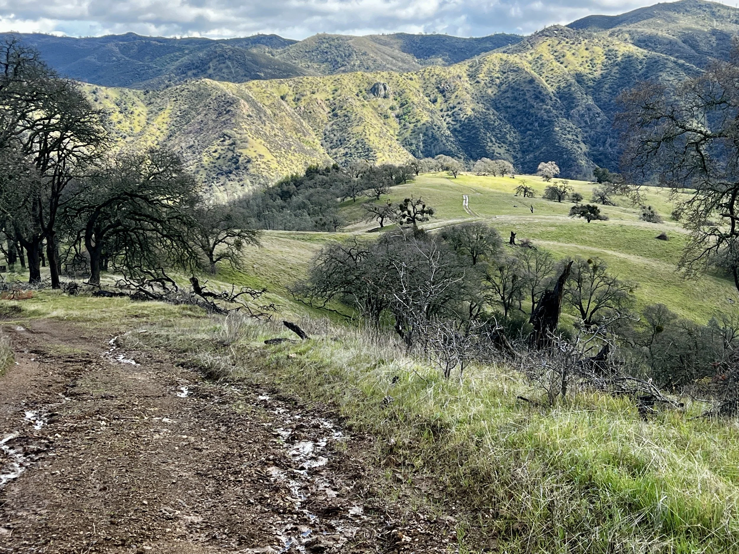
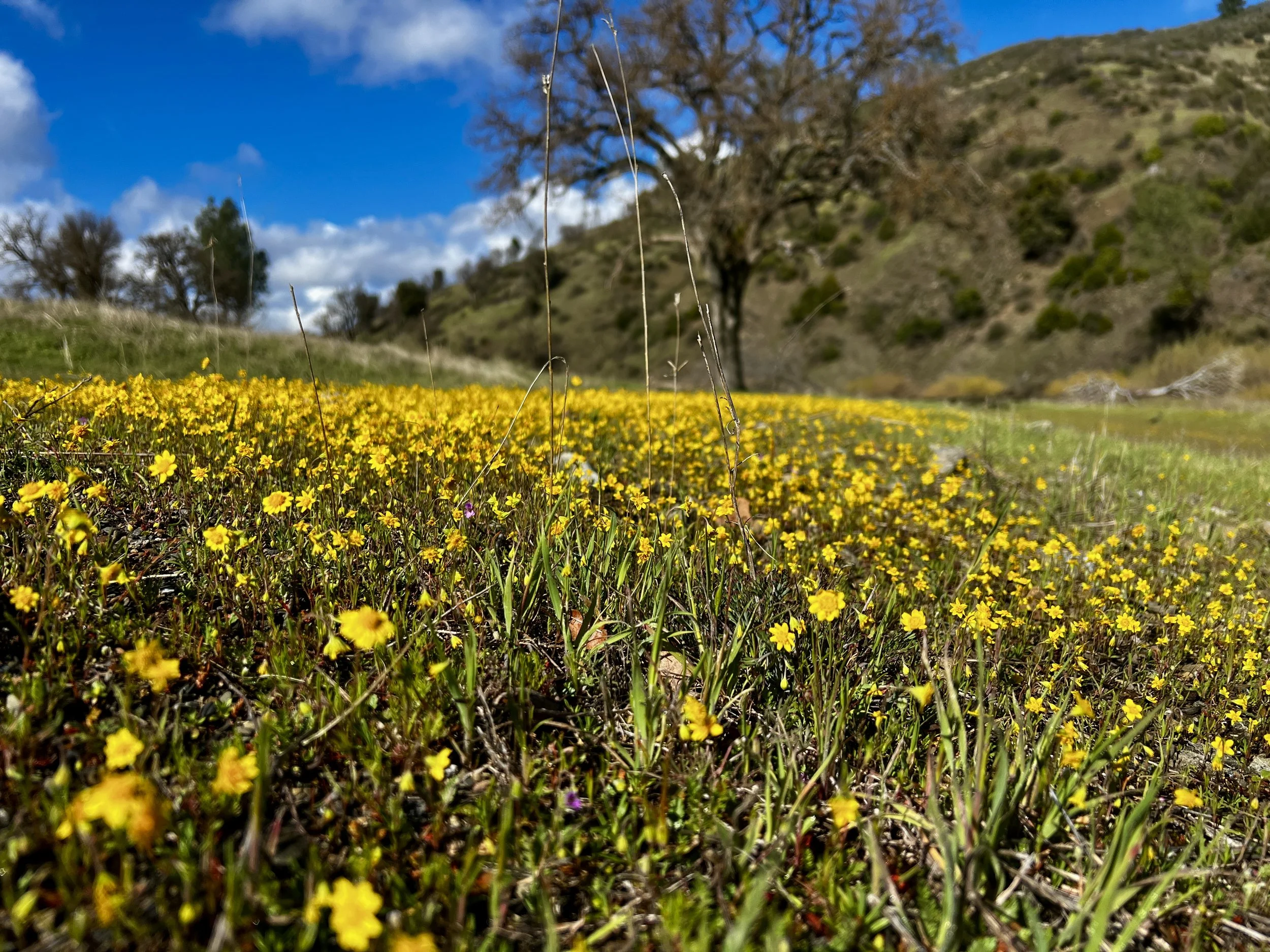
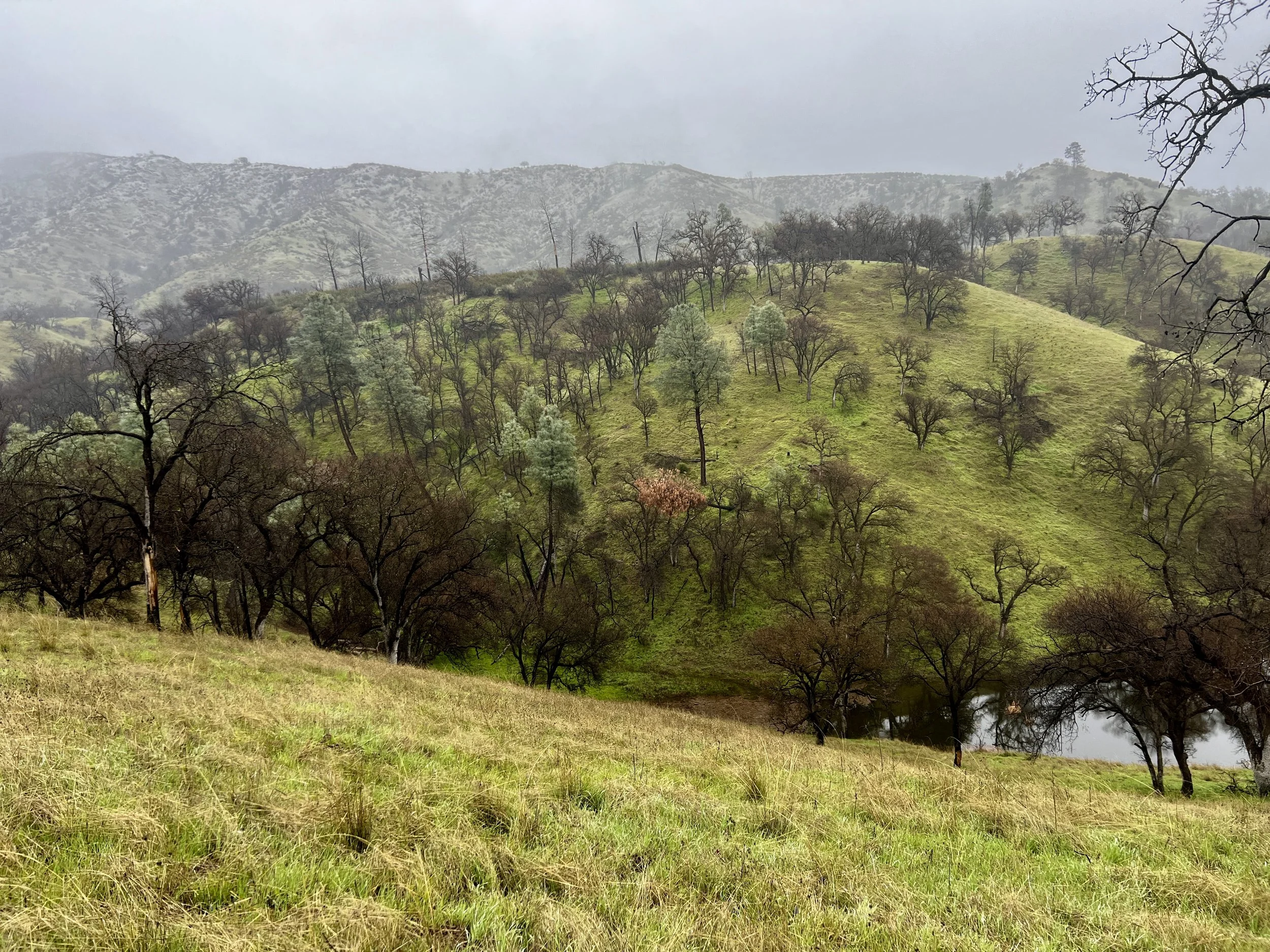
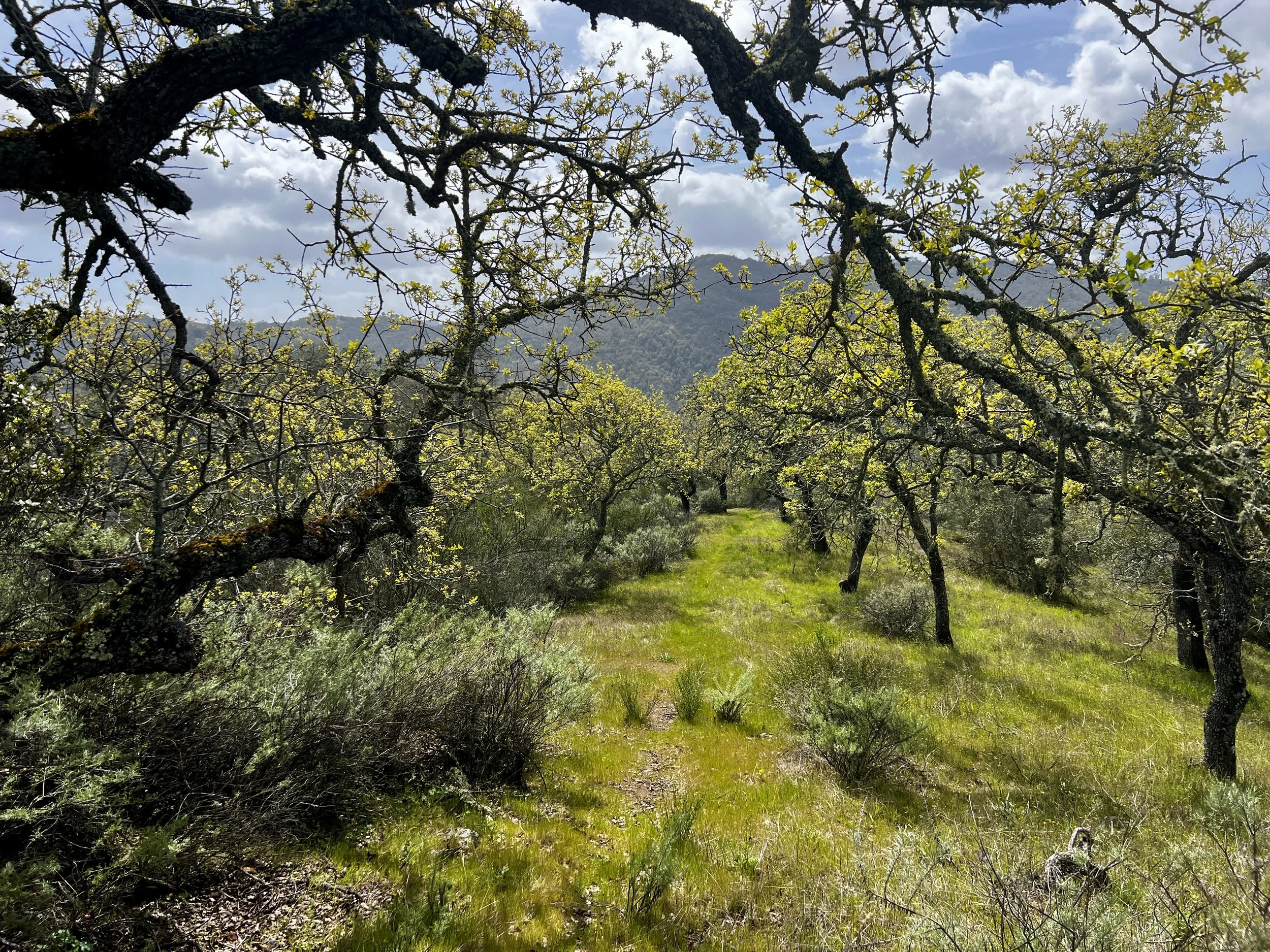
What I think is one of the most unique features of my loop was that it ranged in elevation from 745' to 3189’. Within that range there were three very distinct zones. The lowest of elevations featured non-native grasses (foxtail barley, wild oats), poison oak, chamise, and a variety of oak trees. The deciduous oaks in this zone had brand new spring leaves. The middle zone had more chaparral shrubs, emerging wildflowers, ferns and moss in shaded wet areas and a variety of oak trees, those of which that were deciduous, had blossoms on them. In the upper zone, the chaparral was more dense, there were maples along small creeks, different and more vibrant wildflowers, and still, a variety of oak trees, those of which were deciduous, were still in full winter mode with no hint of spring. It was fascinating to move through each of these zones over and over again throughout each day.
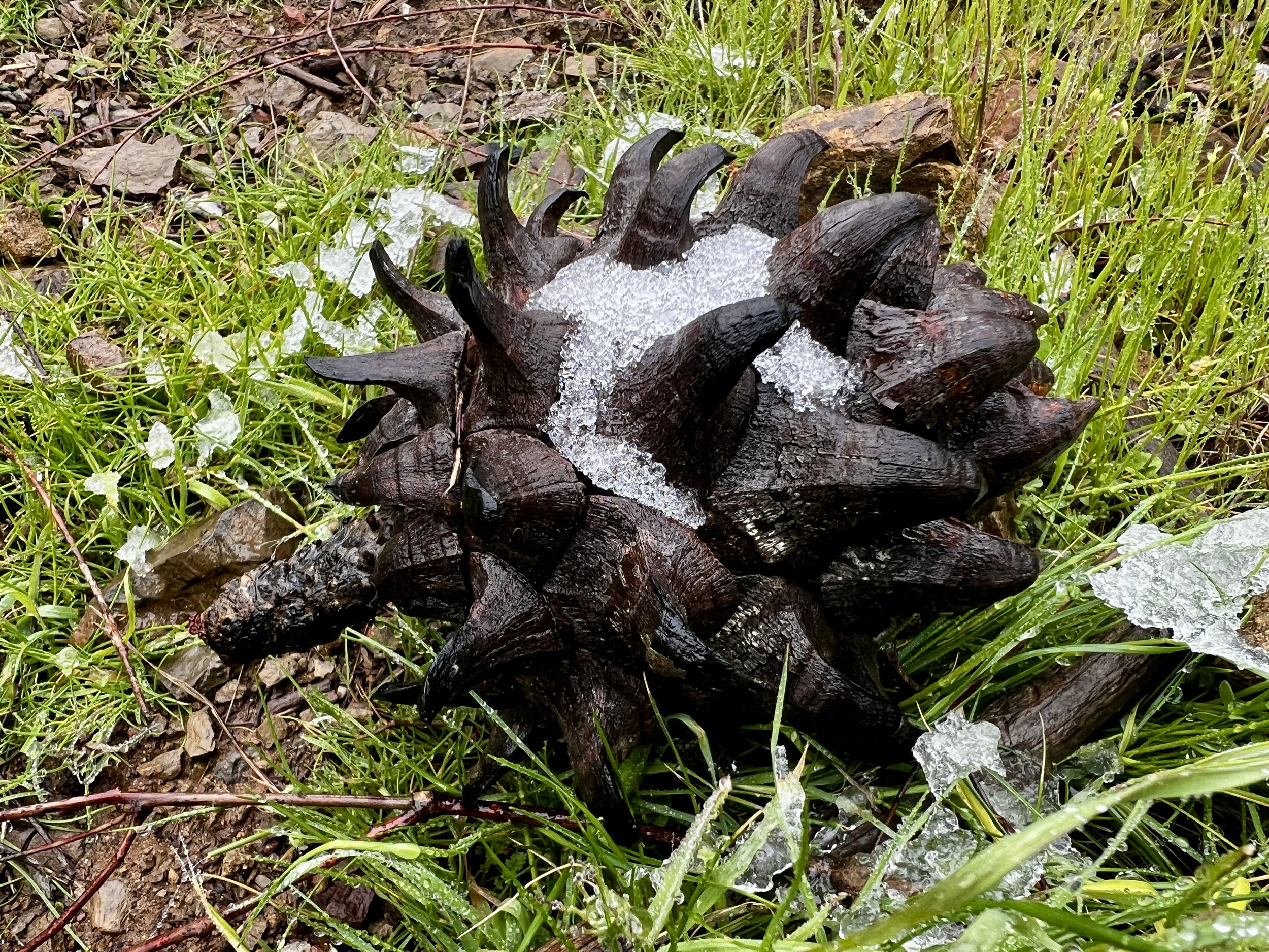
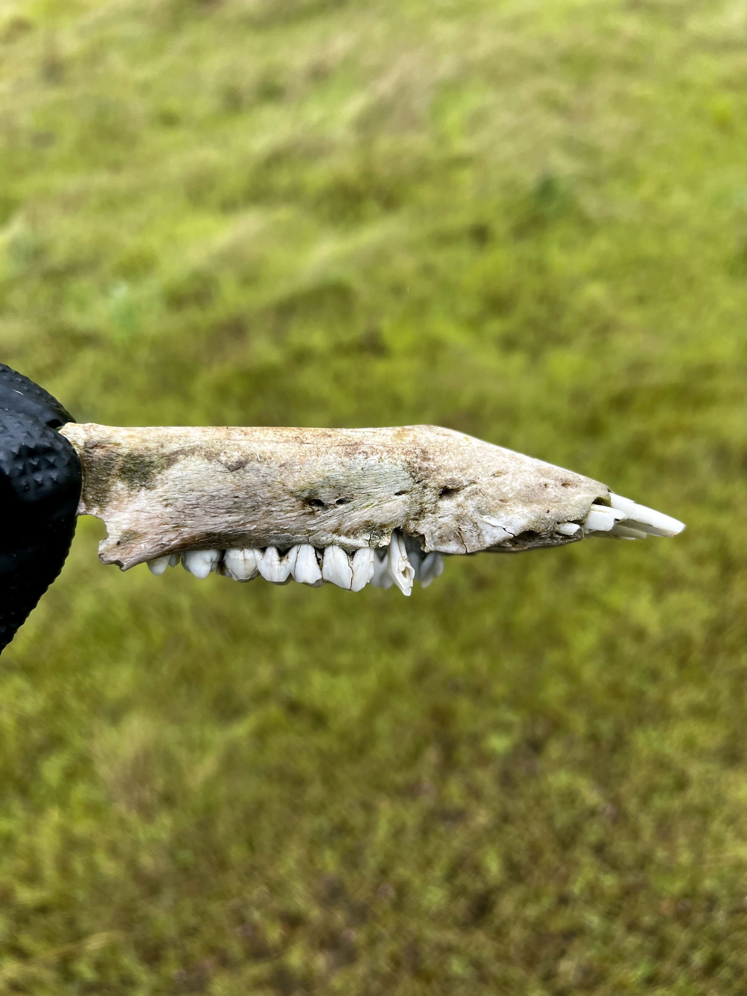
At one point, I came across some carnage and just as I picked it up, a family of coyotes started yipping and howling. They were in a small creek paralleling my trail about 100 years away. They seemed to “follow” me, staying perfectly perpendicular to me for the next 15 minutes. It was fascinating. I never saw a single one, but thoroughly enjoyed their music.
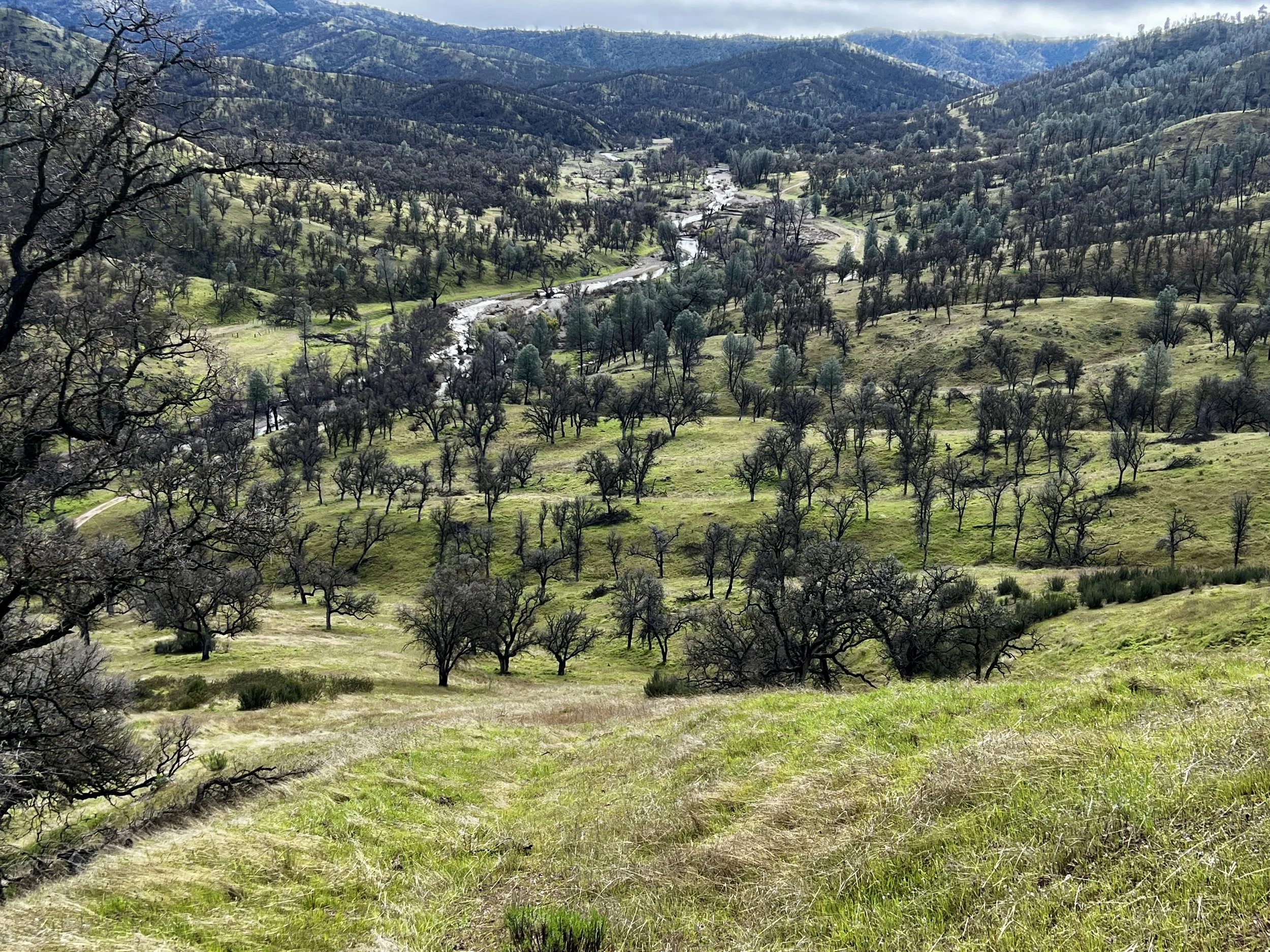
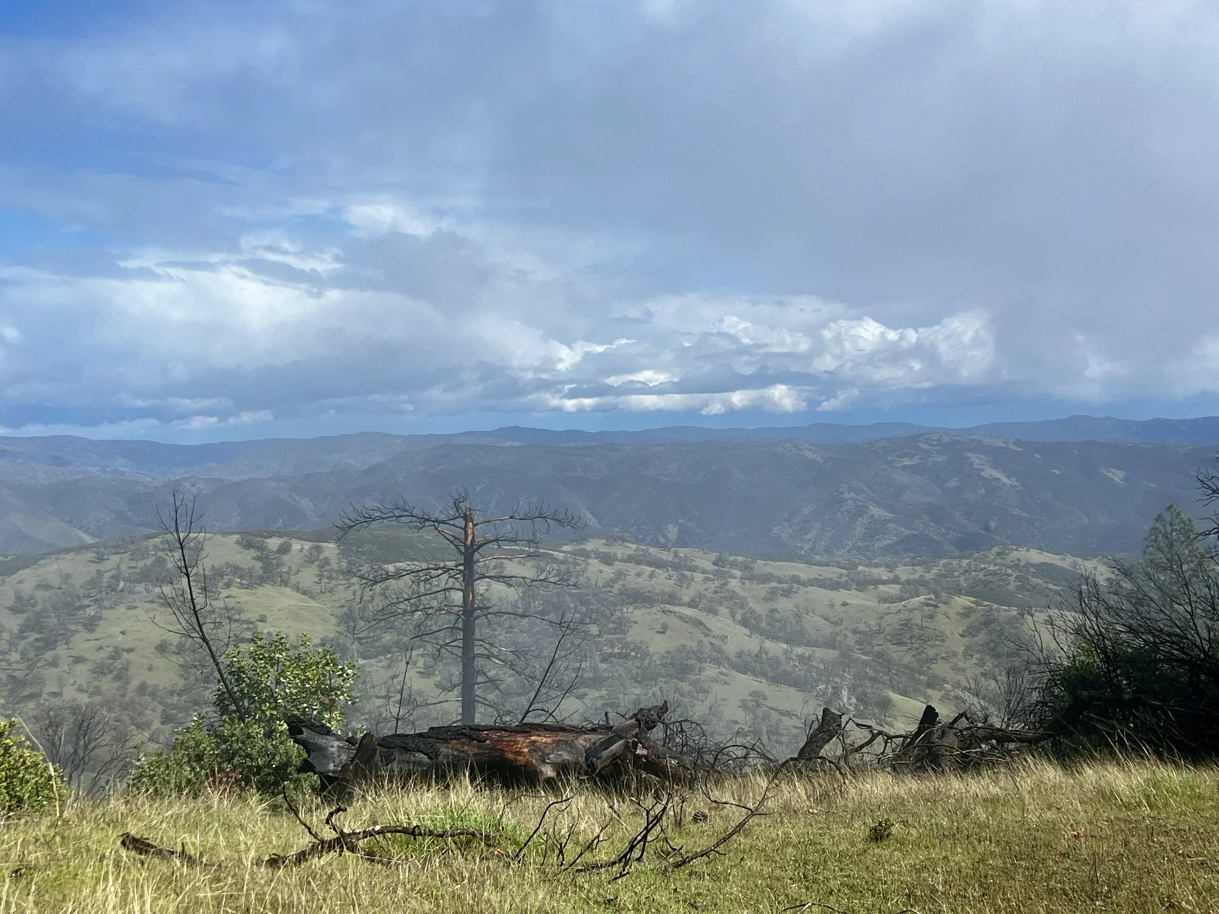
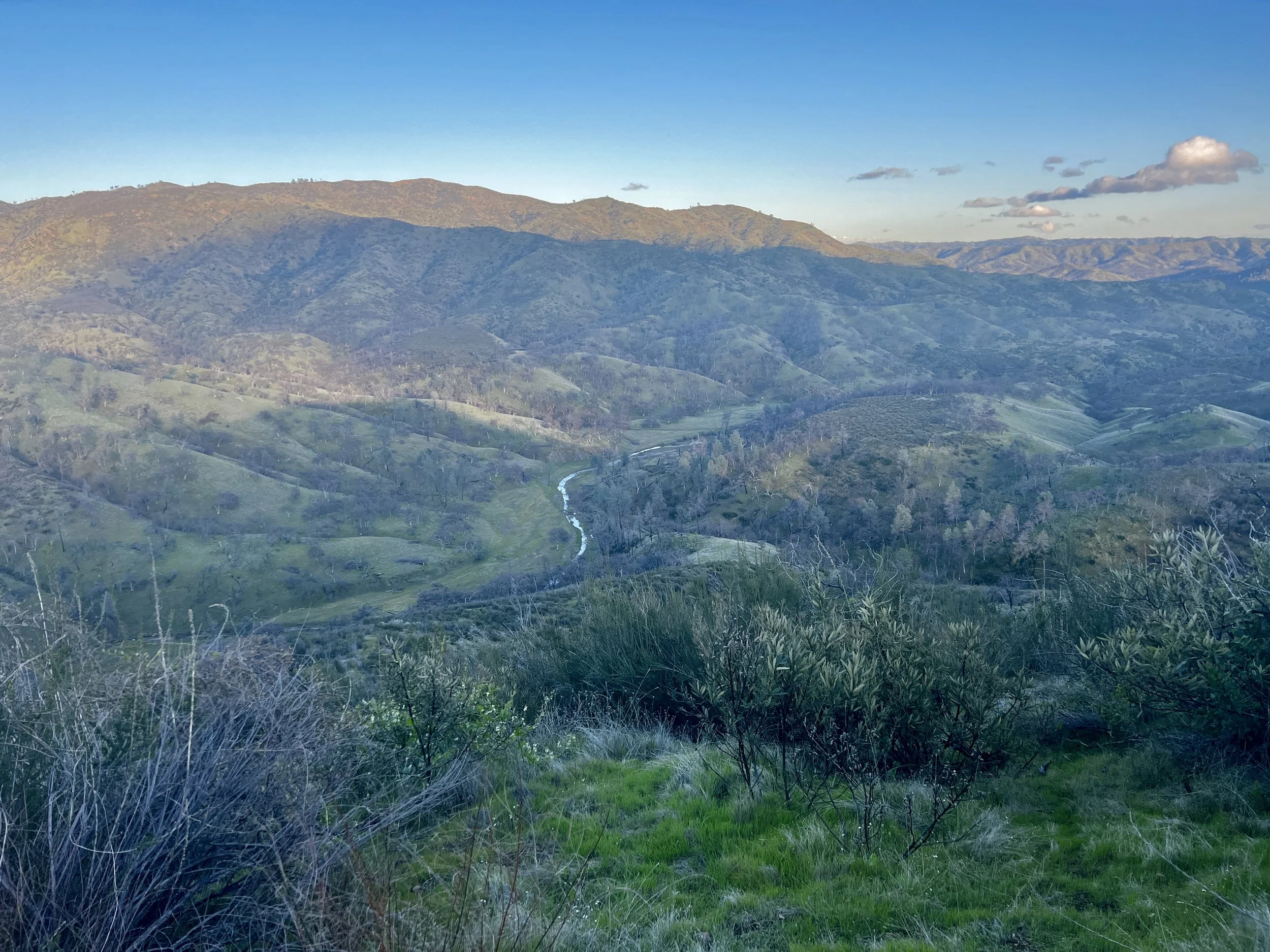
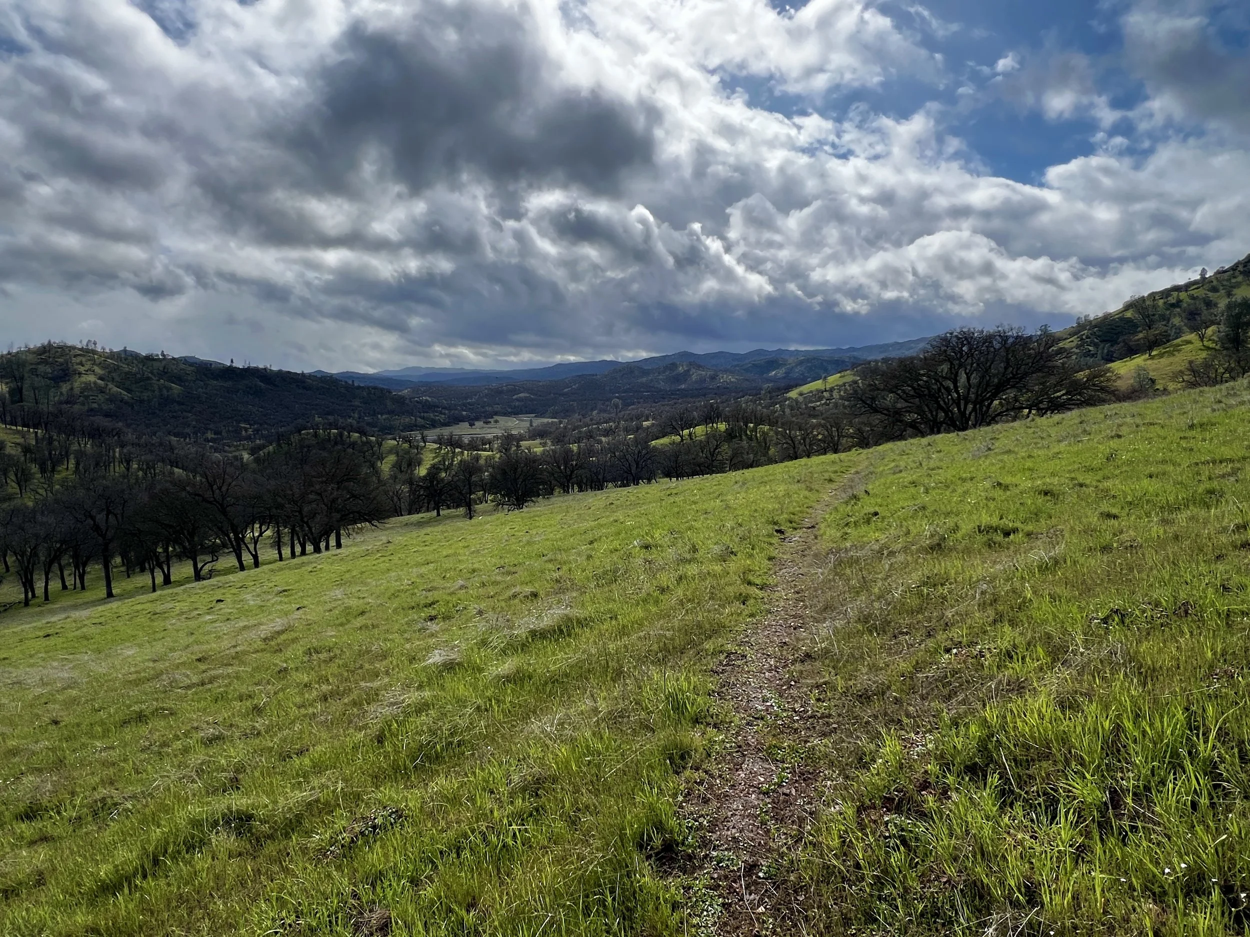
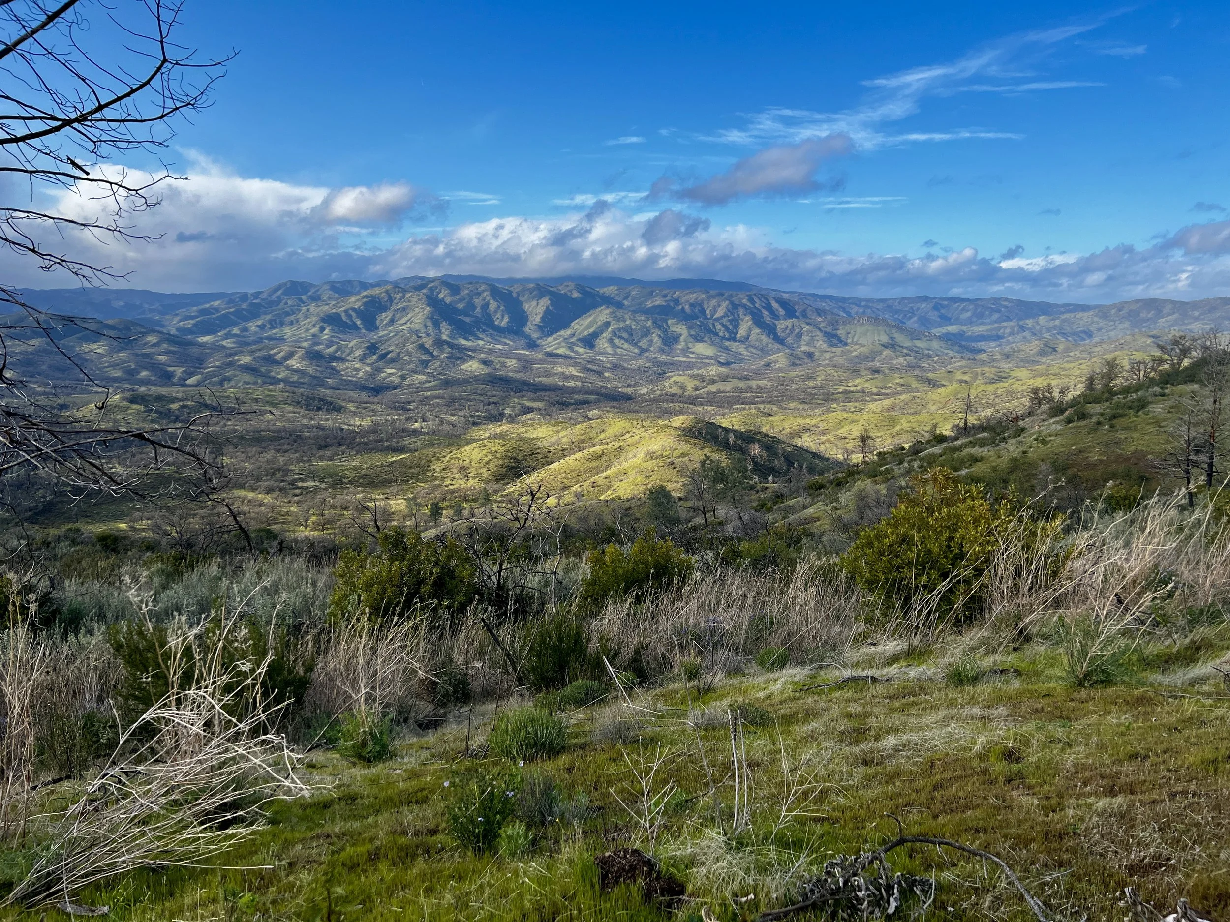
At about mile 23 for me, the Robison Creek dove into a very tight canyon. It was one of two times I looked at my CalTopo-plotted map, but could maybe have looked a bit longer. The map appeared to show the trail going right up the middle of the canyon. But from wall to wall, the canyon was either water or heavy brush. It didn’t look like there was a path and I didn’t know how long it would be like that (hence looking at the map a bit longer would have helped me know that it was just under 800 ft. long). I decided to climb the southern embankment to see if I could just skip the tightest section. I climbed about 150 ft. and my view was obstructed. I decided to climb further. I climbed another 150 ft. and could see there was going to be no easy way down on the side of the ridge I was climbing. I continued. After climbing another 150 ft. I could finally see the other side of the 800 ft. long section. Where it ended, a road started. Oh well. I climbed the last handful of feet and got to the ridge and was rewarded with one of my favorite views looking southeast at a wide beautiful section of the Orestimba Creek valley floor. It was here I snapped one of my favorite pictures of the trip.
While the climb up the northern side of the ridge had a lot of bushwhacking and poison oak, the descent down the southern side was wide open and easy walking. I reached the Orestimba Creek Road at the bottom and the sun appeared. I decided to take advantage of the “heat” to have a “yard-sale” spreading out all of my damp and wet gear to dry. I filtered some water and got in some calories while the sun did the job. Exactly one hour later, I was packed up and on my feet again.
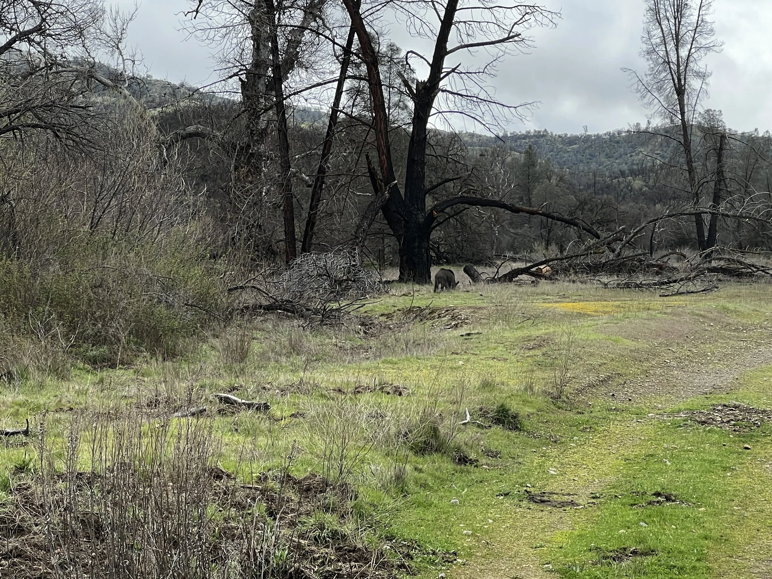
Almost immediately I saw a pig. It was “rooting” and digging using its snout to find food like roots, bulbs, insects, and small animals. When it saw me, it huffed and went back to eating.
Unfortunately, the trail would go right past it, so I yelled, “Hey pig, I’m coming through.” I felt like I was back in Gates of the Arctic yelling, “Hey bear” to warn the grizzly bears I was coming through. First, it lifted its head and just stared at me.
Then, it immediately ran for the bushes right next to the trail. I continued walking. I was looking into the bushes to spot it, but its color hid it well. As I was about even with the spot I saw it disappear into, it made a low menacing growl. Nothing like what I would have imagined it would sound like. As I continued moving, I said, “Just passing through,” and quickened my step. There was a strong smell in the air. Later, when I got home, I looked it up and learned that the smell has a name. It’s called “Boar taint” and is caused by two naturally occurring compounds. One is called Androstenone, which is a pheromone responsible for a sweat/urine scent. The other is called Skatole and is produced in the liver and large intestine. Bottom line, it’s not a pleasant smell and it’s not a pleasant animal. Not the soft cuddly kind you want to hang out with, for sure.
After another mile, mile and a half, I got to another section of private property. The park had created the Rooster Trail to skirt the edge of it climbing about halfway up the western ridge paralleling the property and the Orestimba River. The next 2-3 miles of trail was in the most need of maintenance of my entire loop. There must have been 15-25 downed trees. Every time I went around one of these, I’d have to deal with navigating tons of poison oak. It was a challenging section to say the least. With that being said, the last mile of this trail was wide open with stunning views as well as deer, bunnies, and lots of birds of prey.
This section ended by crossing the South Fork of Orestimba Creek and joining Long Ridge Road for about 5 miles that included lots of ups and downs. Most of this section ran right next to the eastern boundary of the park with vast views in that direction.
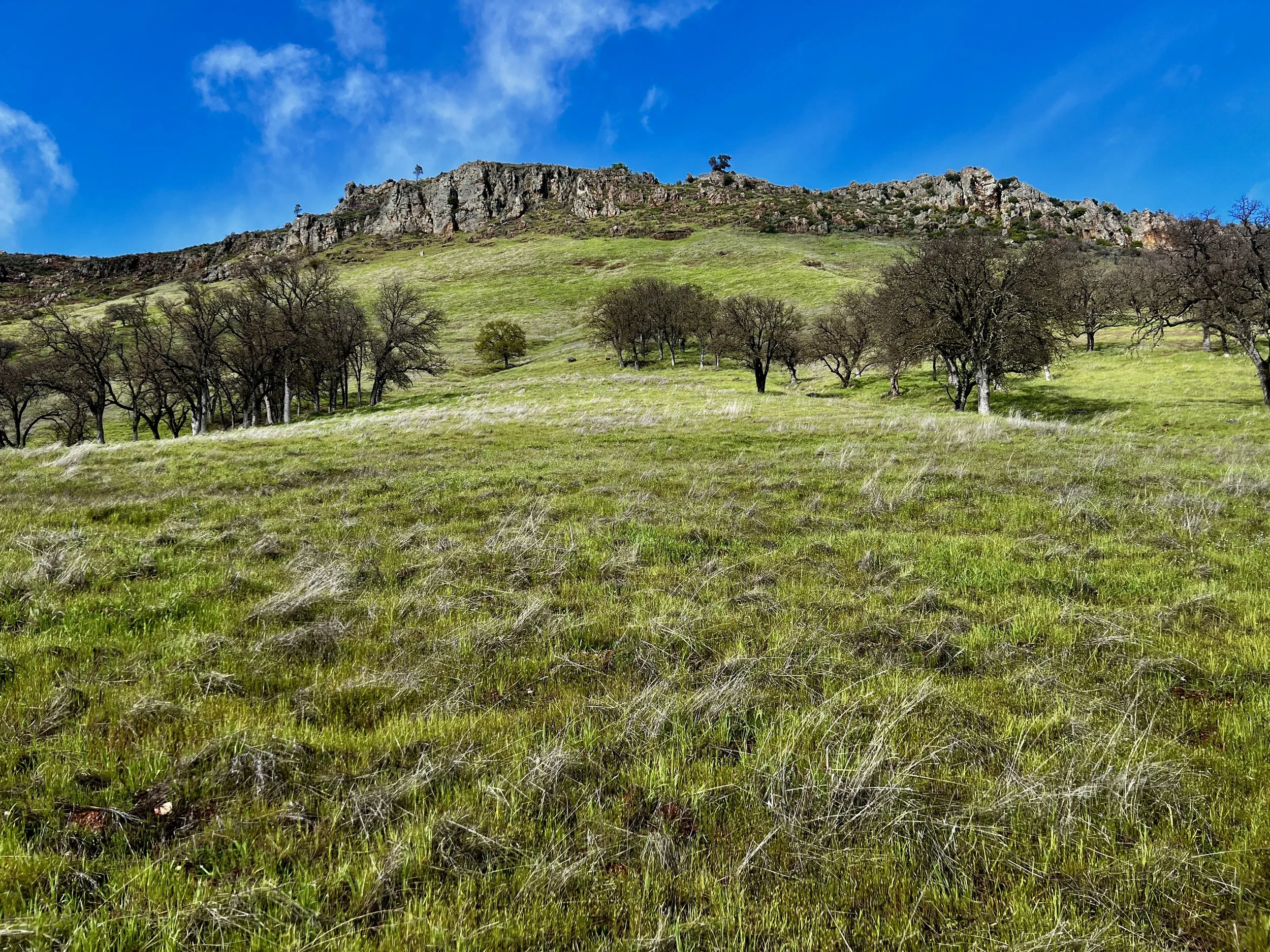
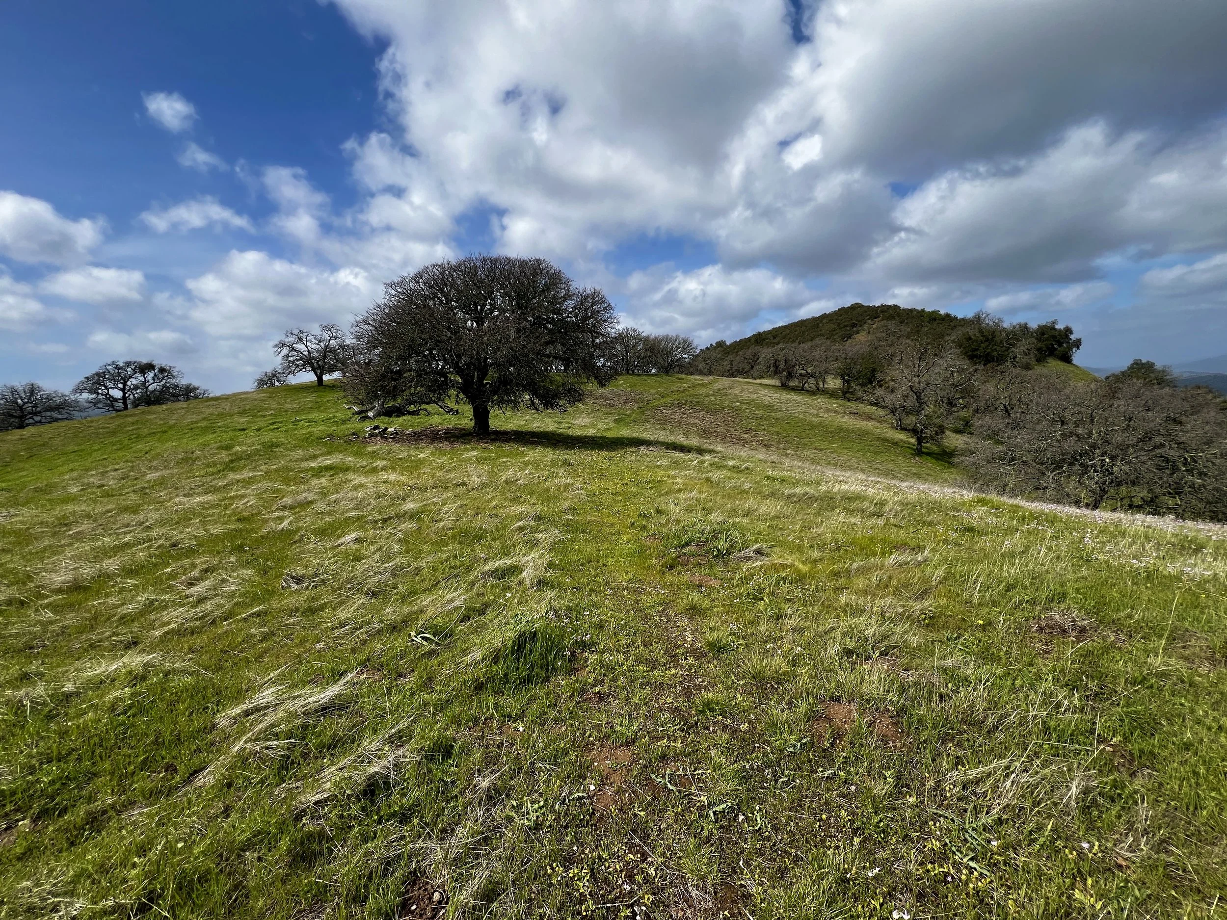
This section also included the single longest steep section of road on the trail. The northern approach to Mustang Peak, at 2263 ft., was a series of ups and downs with the biggest up being the last. In the picture below, in the far right, you can barely make out the final road ascent to the top of the peak.
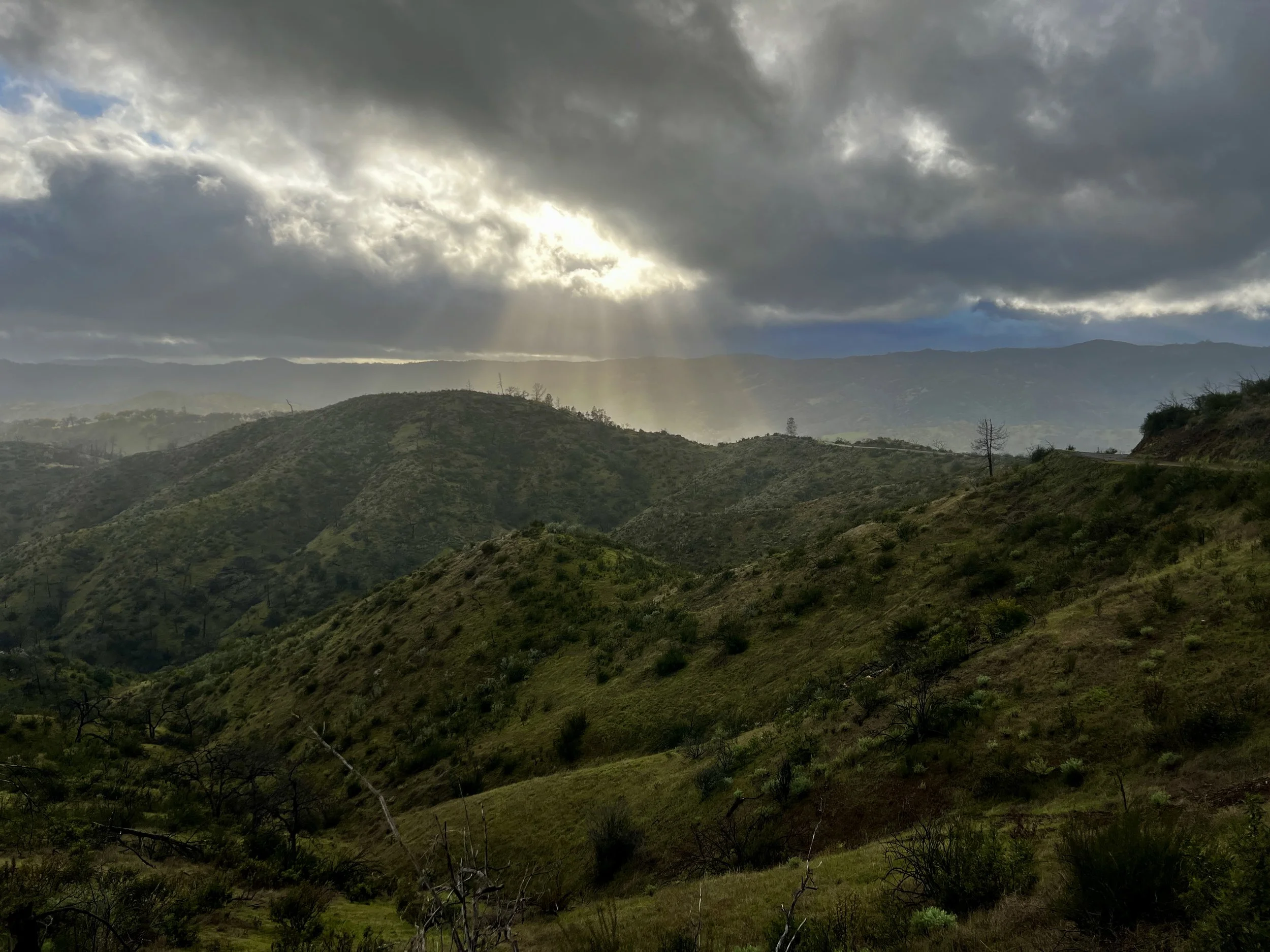
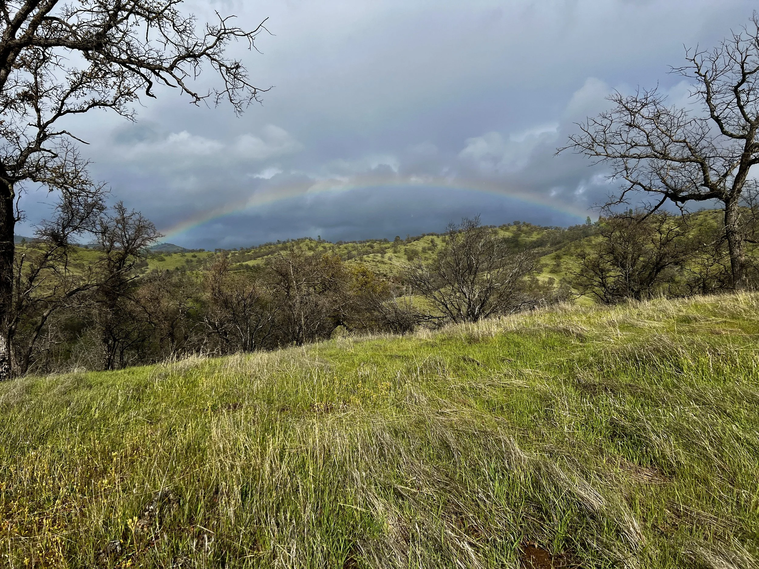
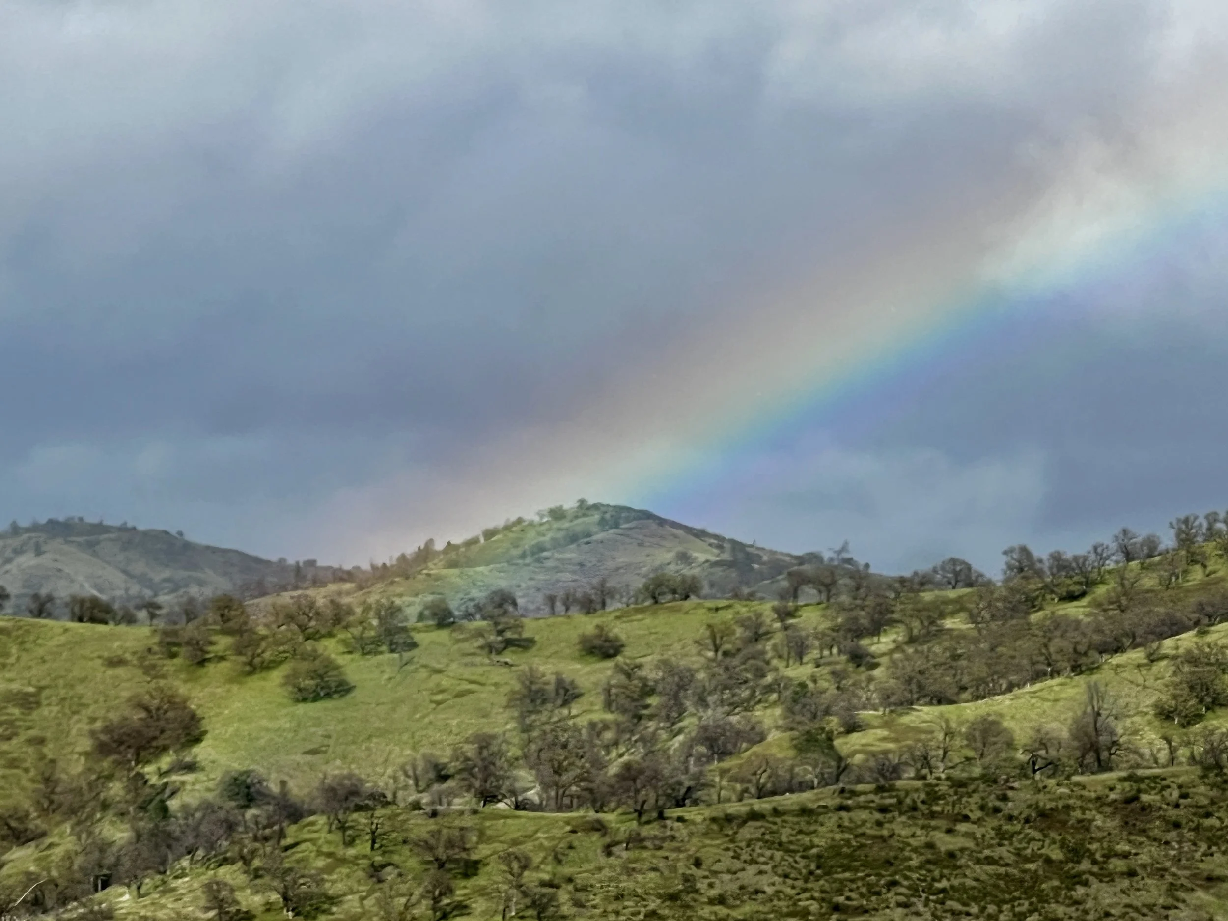
Long Ridge Road turned into County Line Road. It was getting later and I wanted to find a camp spot before more precipitation settled in. The sun was making art through the clouds. Rainbows were decorating the sky. It was time to start looking for a place for my tent.
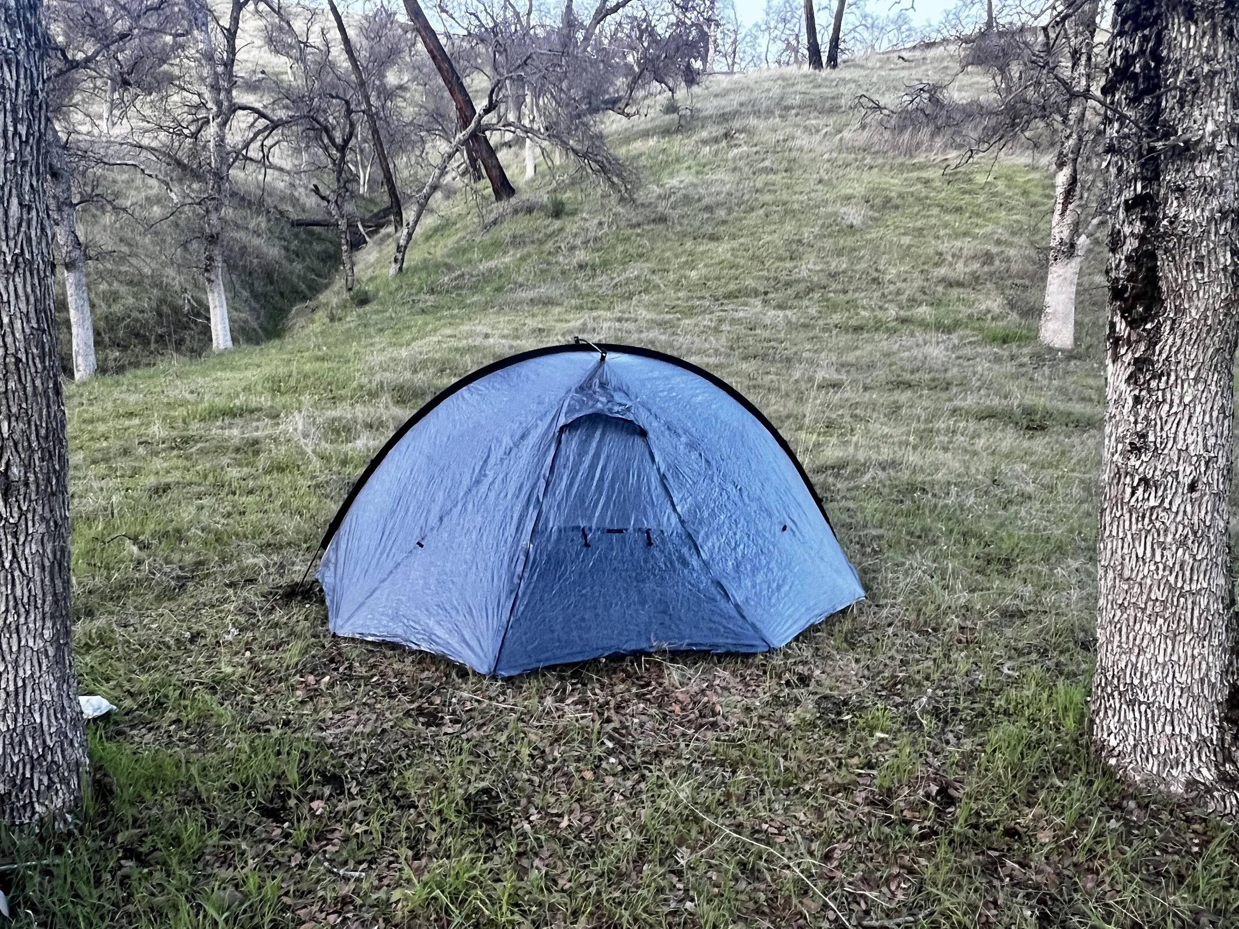
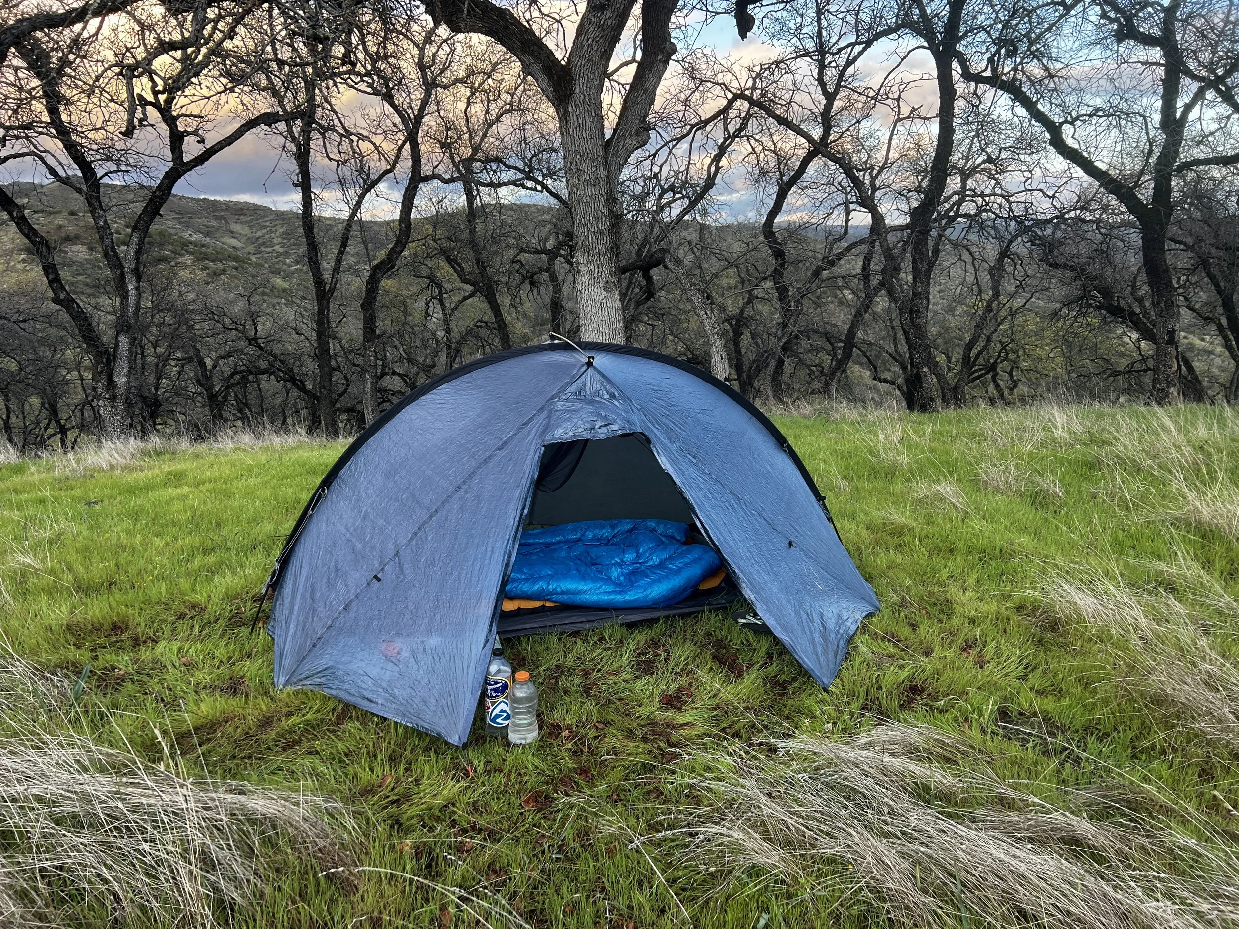
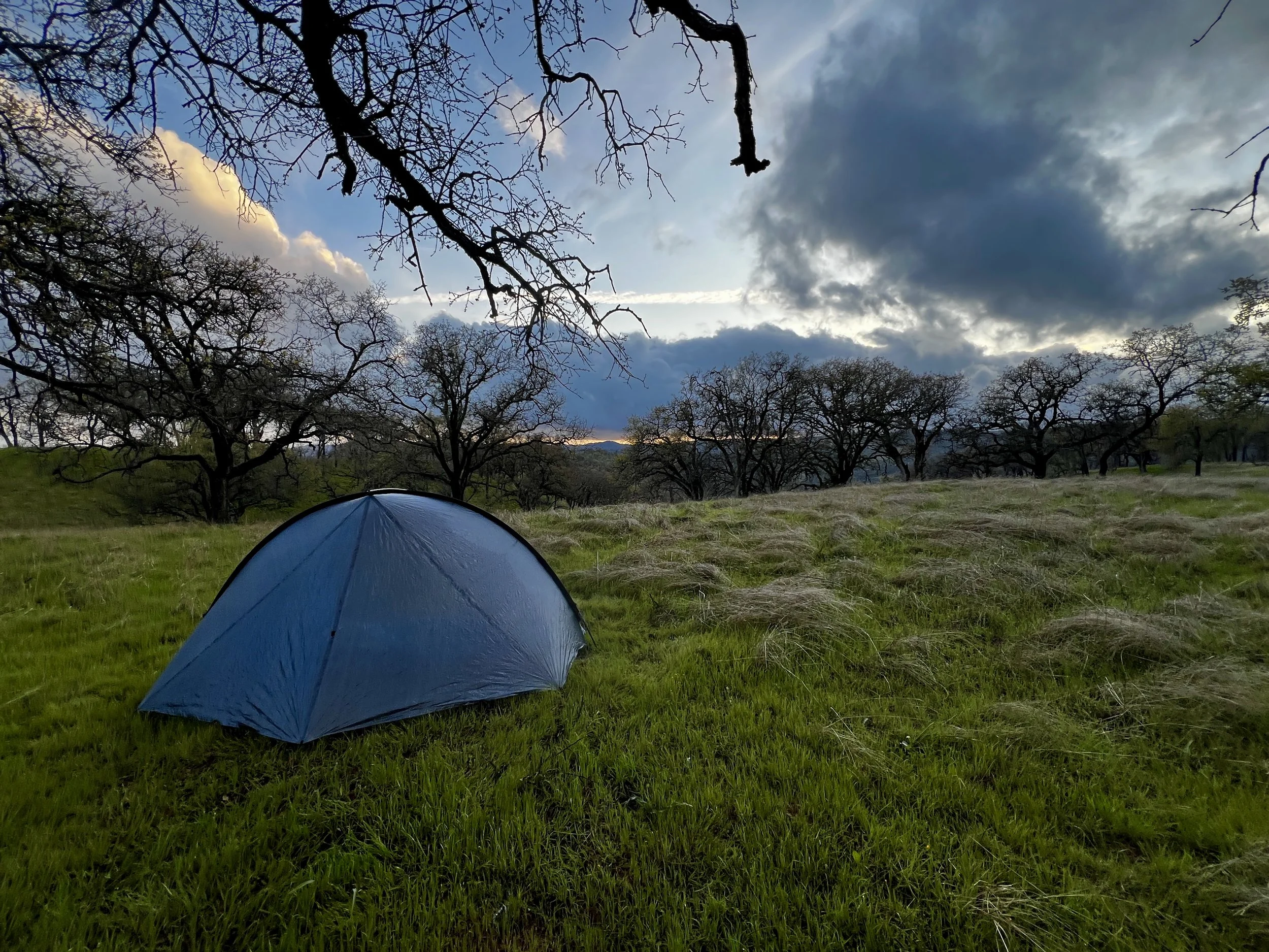
About two miles later, I turned off on Dutch’s Trail. I climbed a ridge and immediately found the perfect campsite. I still had a bit more time to hike, so just for a minute I pondered, even walking another 50 yards or so, or thinking I’d get in another mile or so. I turned around to take another look and realized I couldn’t pass up a spot like this and stopping a bit earlier was best for the body as well. I set up camp and enjoyed my surroundings.
Day #3
21.52 Miles
57.63 Total Miles
6,388 ft. of Elevation Gain
6,398 ft. of Elevation Loss
9 ½ Hours of Moving Time
Another cold and wet night. Rain settled in somewhere around 11pm and it rained steadily, very hard at times, until about 4am. I woke up to dry gear and a wet tent fly. Another dry-out was in order later in the day.
Dutch’s Trail was stunning. This was another favorite section for me. The single track ran across a ridge for the most part and gradually dropped about 1,400 feet over about four miles. As I was walking past Yellow Jacket Pond, close to the shore, 40-50 bullfrogs jumped into the water from shore in about 15 seconds. It went from silent, to splish splash splish splash to silent in just seconds. Then, the frogs silently came back to the surface and poked their little heads above the water to peek out. It was magical.
A little while later, over a small ridge just to my left, the head of a small gray fox silently peeked out at me. I stopped and we looked deeply into each other’s eyes before it disappeared back behind the ridge. Magical. I’m so grateful to be here.
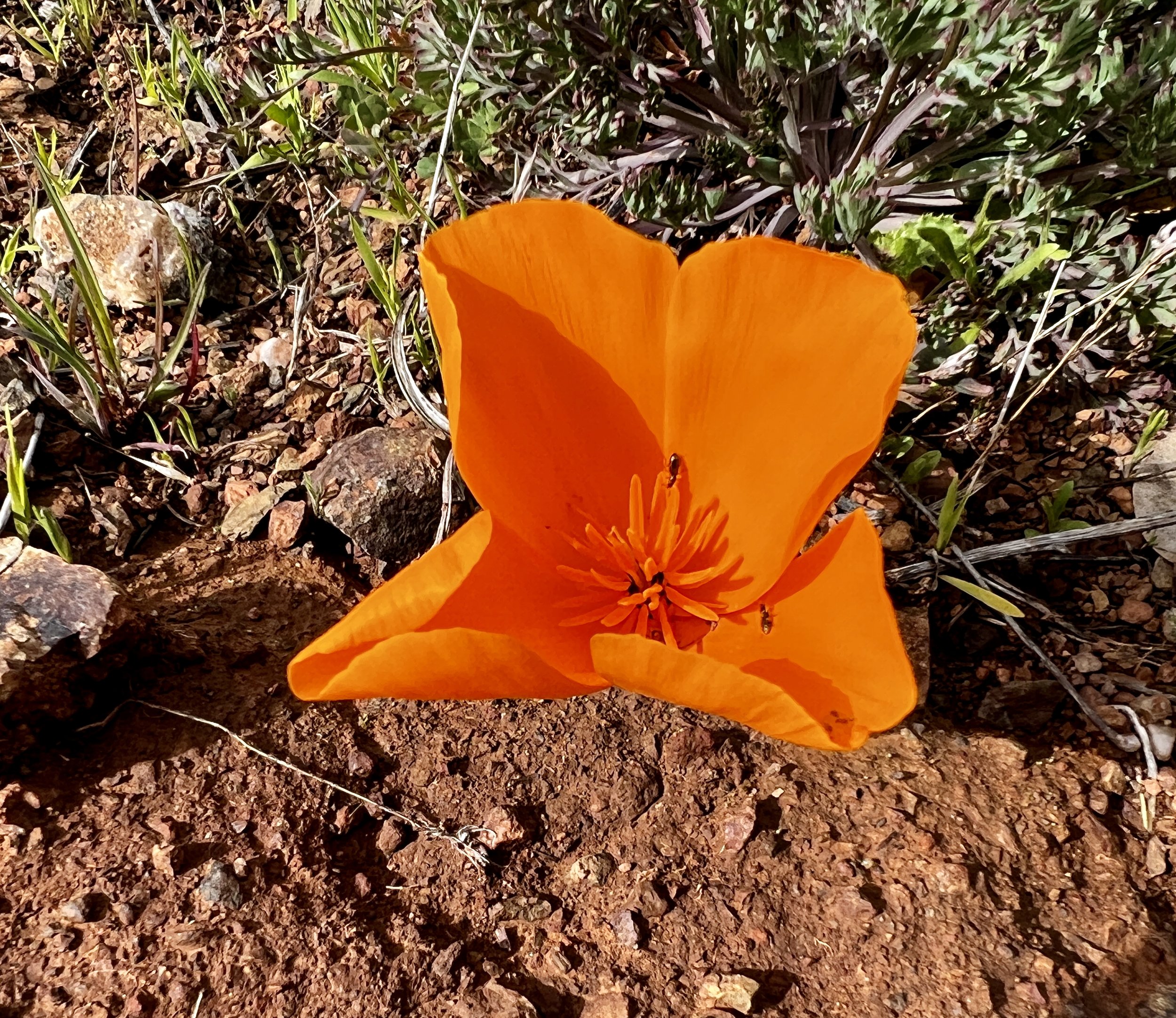
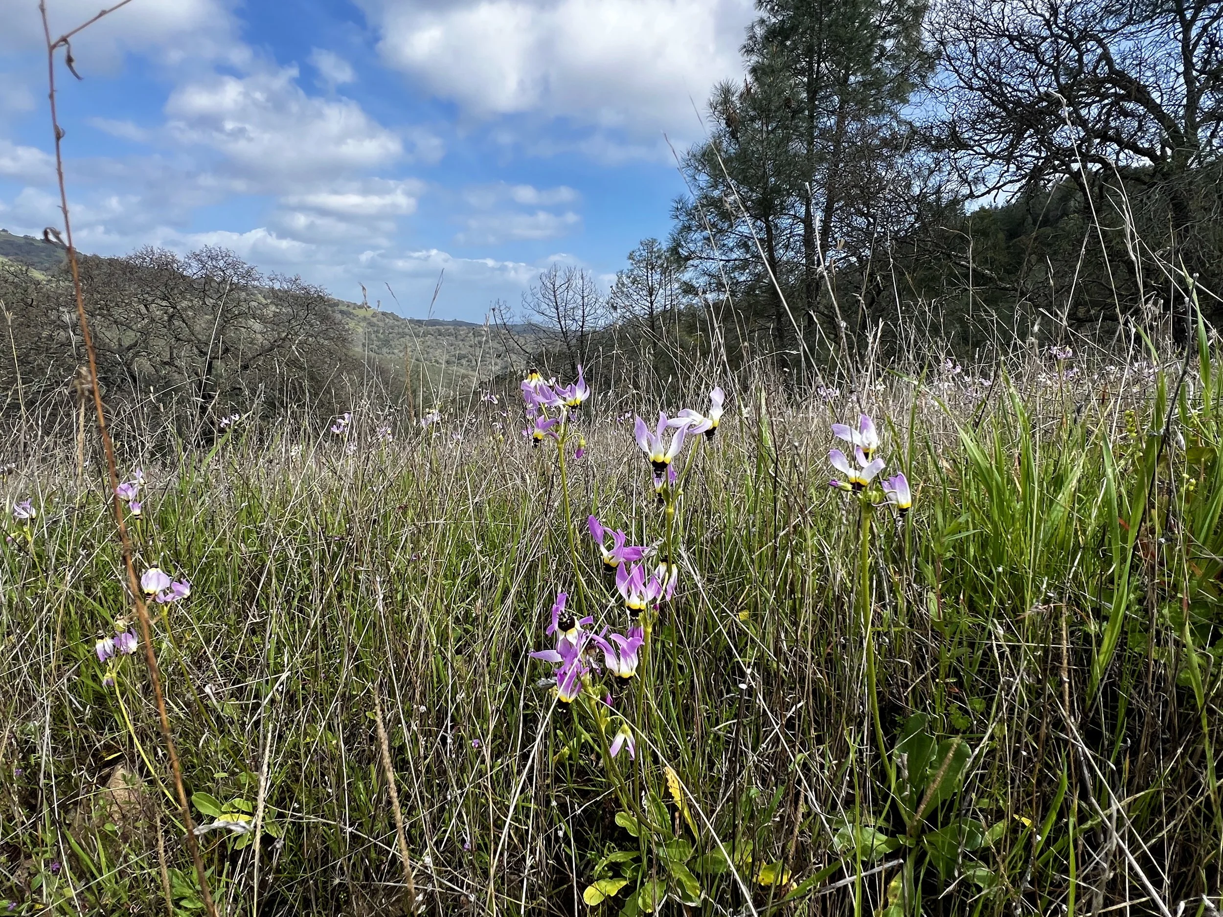
From about 2,000 feet in elevation to about 1,000 feet, spring was exploding.
This section ended at about 800 feet at the North Fork Trail and I followed the North Fork Pacheco Creek for a mile before crossing over the creek and joining Mack’s Corral Trail.
This single track climbed about 1,400 feet, steeply at times, to the Dowdy Ranch Visitor Center. I was looking forward to checking out another VC and taking some time to dry out my gear. Coming over the final rise, I spotted Dowdy and was surprised at just how large and new the entire area was. It was impressive. The pigs had really done a job to some of the surrounding land as well. The closer I got to the VC itself, the more it looked deserted. Indeed, it was closed. I’d later find out from Manny the Ranger that Dowdy closes after heavy rains as the approach road becomes very slippery.
I made use of all the open space to spread out all my gear, everything this time, to dry and air it out. I made use of the working drinking fountains, open bathrooms, and accessible trash cans, all while hydrating and fueling my body. It was a good 60-minute stop for sure.
Next was the one-mile single track Burra Burra Trail running up and down through quite pleasant ridges and grasslands before joining the Dormida Trail.
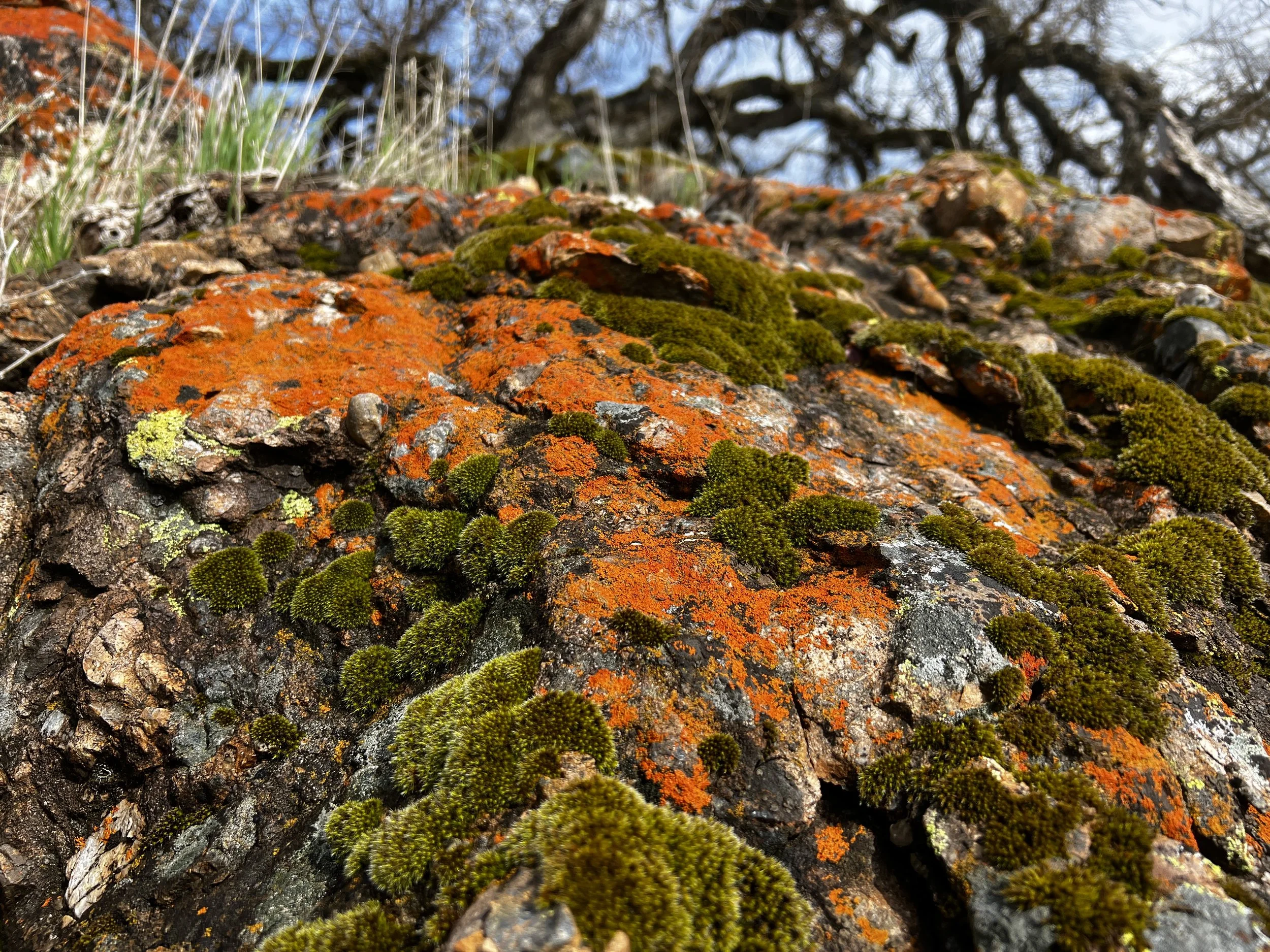
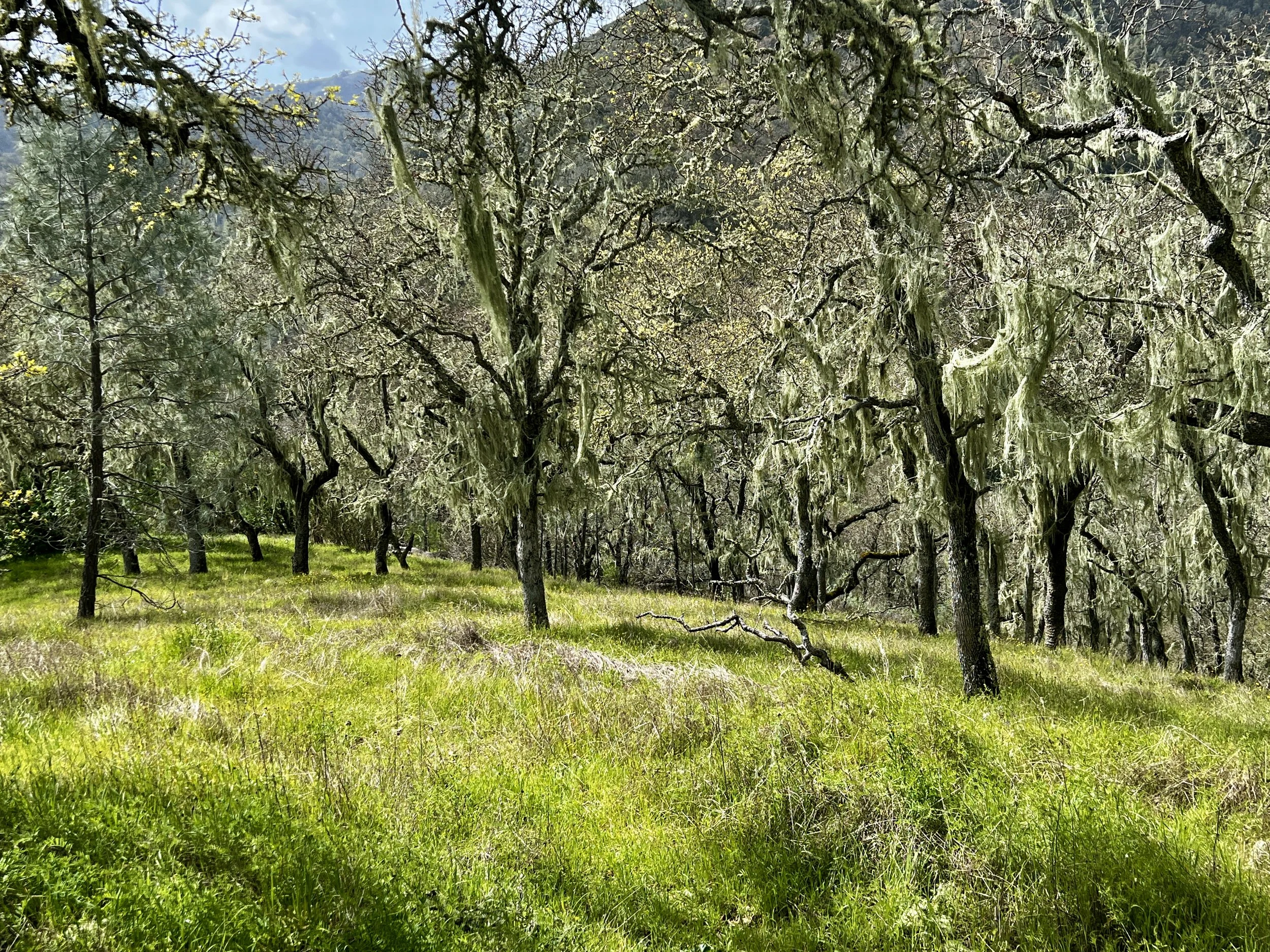
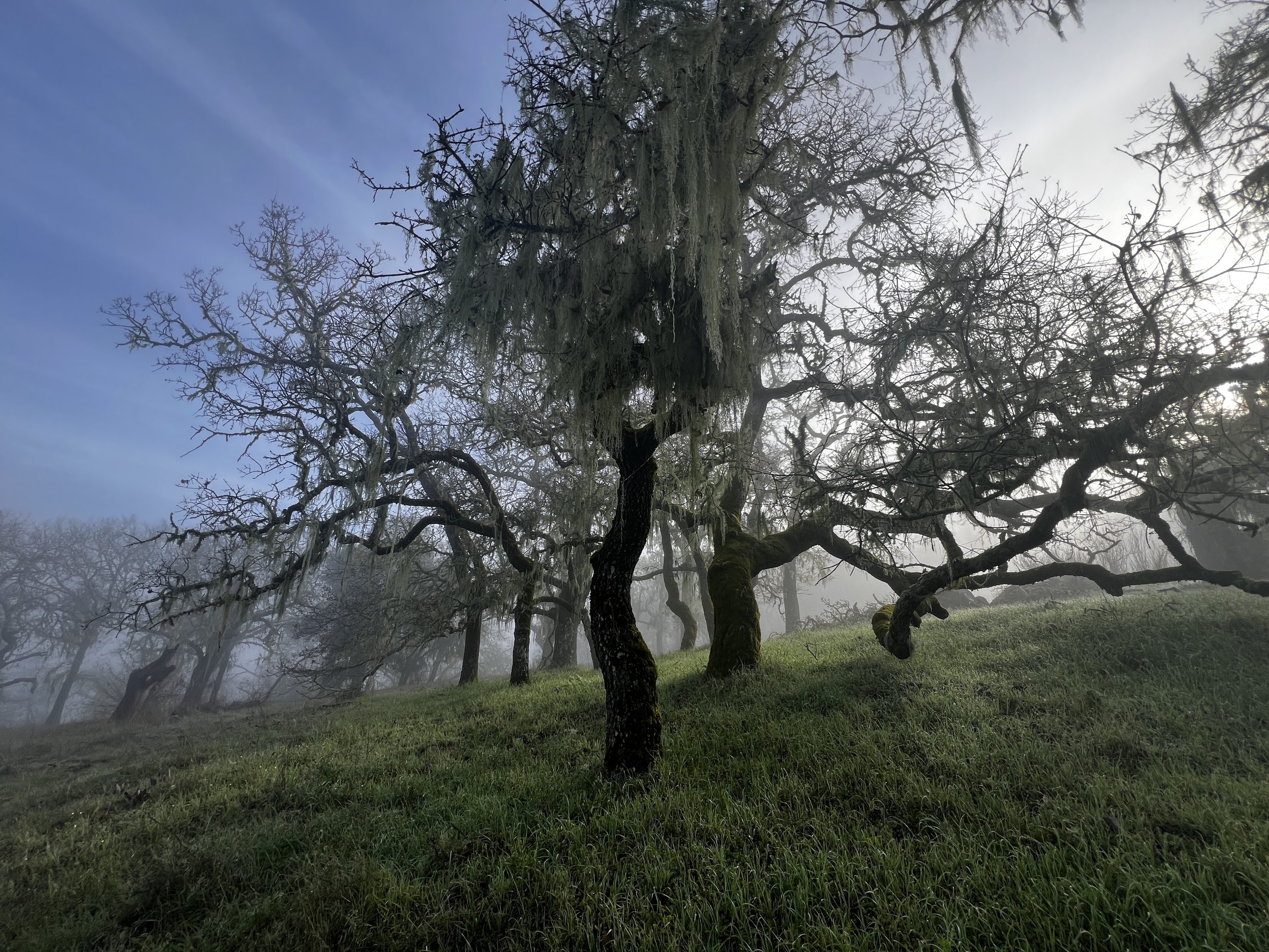
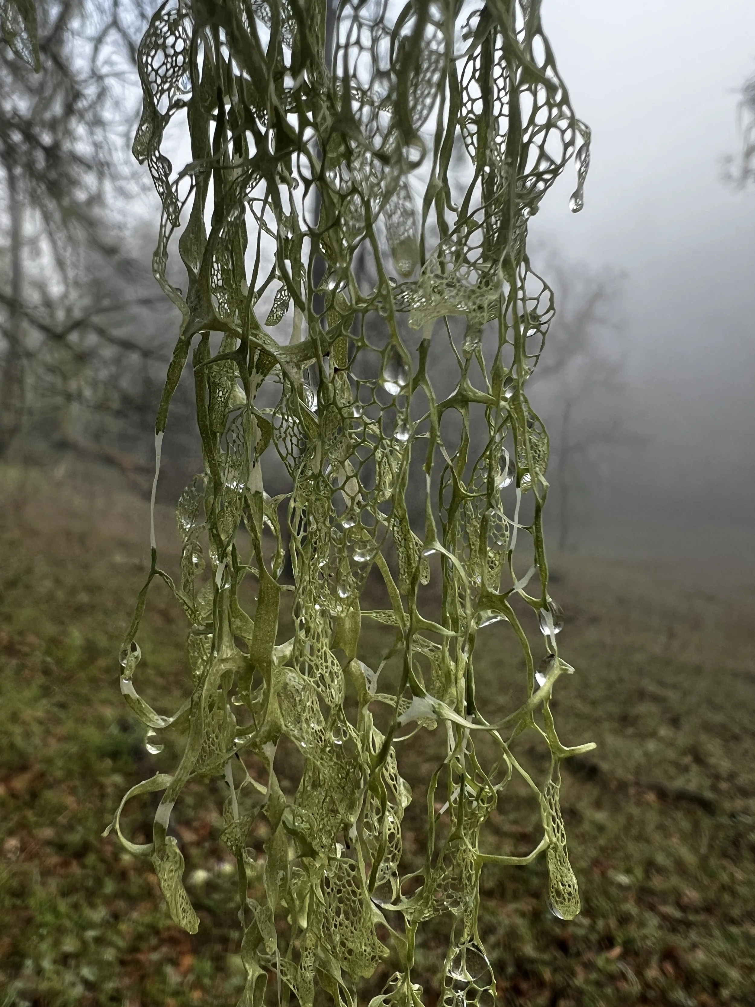
The first mile of Dormida’s single track was another one of my favorites. The trail started at about 2,000 feet in elevation and dropping about 600 feet. The oaks were in full spring bloom and the California Lace Lichen, the official state lichen (to learn more about it check out the Henry Coe Instagram Page), was dressing the trees like tinsel at Christmas.
At the bottom of the descent, I’d get off the trail for the only other time of the trip. This one, unlike the first, was not a choice. But just like the first, on the Robison Creek Trail, I’d glance, but not really examine my map. My mistake again.
After crossing the Cãnada de la Dormida creek, I instead followed a single track game trail up into the woods. It was a bit overgrown but still felt like an actual trail. The higher I got, the more apparent it was that, no, it wasn’t the actual trail. And similarly to the last time, I could see a road, Vasquez Road, far below me where I should have been. Once again, I’d come too far to go back down, or so I determined, and I kept climbing, seeing that it looked like I could join up with the road higher up. Bushwhacking was increasing exponentially.
What I couldn’t see was that between me and the road was a medium sized canyon with a small tributary. Once I got to where I could see it, I realised it was completely choked with deadfall and poison oak. I scanned the area looking for the least terrible crossing. When I picked it out, I made my way to the bottom of the gully (the easy part) and then looked for the best way back up. There was no best way and I ended up precariously climbing some rotten deadfall, collapsing at every step. Pausing, I saw that the next 10-15 feet would be through poison oak that would be impossible to miss. I bit the bullet and pushed through. In minutes I was on Vasquez Road. I dropped my pack, pulled out my wet wipes and cleaned every area of exposed skin (really just fingers and face as the rest of me was covered). I could only hope that any of the urushiol oils that were also on my clothing would dissipate between now and nighttime when I’d take it all off.
The next 3.5 miles of Vasquez road steadily climbed 1,200 feet. It was here, at mile 46, that I crossed paths with the first people of the trip. A couple were out for a day hike from the Hunting Hollow access area. We had a nice chat and they shared with me that they lived in Mountain View and had been without power for two days because of the storm. It had felt like a big storm to me, and now it was confirmed. I hiked on.
Vasquez Road dropped about 300 ft. before making its final short climb and joining up with Steer Ridge Road.
Just when I thought the climbing was done, Steer Ridge Road climbed another 700 feet before finally leveling off for the most part. A mile later, I began my long descent and I passed my first of many pig traps on the western side of the park. I’m not really sure why the park goes about setting traps, as it feels that the massive number of pigs could really never all be trapped in the first place.
I’d planned for today to be my biggest day in terms of mileage. I knew that the weather was supposed to be quite mild with no precipitation and I’d hit the trail at 8am instead of about 10am like the last two days. I started the long 1,700-foot descent on Steer Ridge Road, joining first the single track Spike Jones Trail and then connecting to the single track Timm Trail all the way to Coit Road along the Coyote Creek. It was a beautiful collection of trails that started high in the open grasslands and ended deep in the shaded evergreen oak trees. At the very bottom, there was a covered picnic table with a single trash can. Time to reassess. I needed some calories and I was just inside the Dormida Zone where I’d planned to camp.
The park is broken into zones. In the western part of the park, camping is only allowed in designated campsites while the rest of the park is broken into wide zones where dispersed camping is allowed as long as campers follow Leave No Trace principles.
It was 5:30pm. I had another two full hours of light. More miles today would mean less tomorrow to get back to the car and make the drive home. I decided that, even though I was permitted for the Dormida Zone, and since I’d only seen two other people now in 53 miles, I’d push another three miles to Coit Horse Camp, hoping it would either be empty or there would be room for one more person. I figured as long as I was camped in a designated spot that no one else had reserved, I was good.
I threw some trash away, crossed the small creek while looking left at the wild roaring Coyote Creek, and started making the almost 1,000-foot, three-mile walk to Coit. Almost immediately, I again crossed paths with two day hikers. We talked for quite a while as we had many backpacking places (Eastern Sierra, Lost Coast, and Trinity Alps) in common.
Just before we said our goodbyes, they asked if I was going to the camp up the road at the campsite. I asked if there was anyone there and they told me it was completely empty with picnic tables and a large metal water tank I could filter from. It was now close to 6pm and I figured if no one was there when they visited, it was probably empty for the night.
The walk went quickly and I kept a 3+ mph pace the entire time. Walking deep in this canyon and paralleling Coyote Creek, the air was cold and moist. It would be another wet night for sure. I arrived at 7pm to a completely empty camp. I was set up, cleaned up, and in my tent by 7:29pm. The fog was rolling in and I settled into my quilt knowing I’d have less than 10 miles to go the next day. Today was a very good day.
Day #4
9.85 Miles
67.68 Total Miles
2,428 ft. of Elevation Gain
1,302 ft. of Elevation Loss
3 ½ Hours of Moving Time
This was the wettest night of all. A thick, soupy fog set in just after I slid into my tent and it just got thicker all night long. Packing up was a wet affair, but last day of packing is something very different. On other days, I’m pretty meticulous in terms of keeping wet things separate from dry things and have a plan to take a break during the day to dry things out. However, on the last day, that all goes out the window. Things are shoved in the bag to be dealt with, dried, and cleaned at home.
It was 7:30 am and time to hit the trail.
I continued on Coit Road and eventually joined Mahoney Meadows Road and then the China Hole single track trail. Walking in and out of the fog was beautiful.
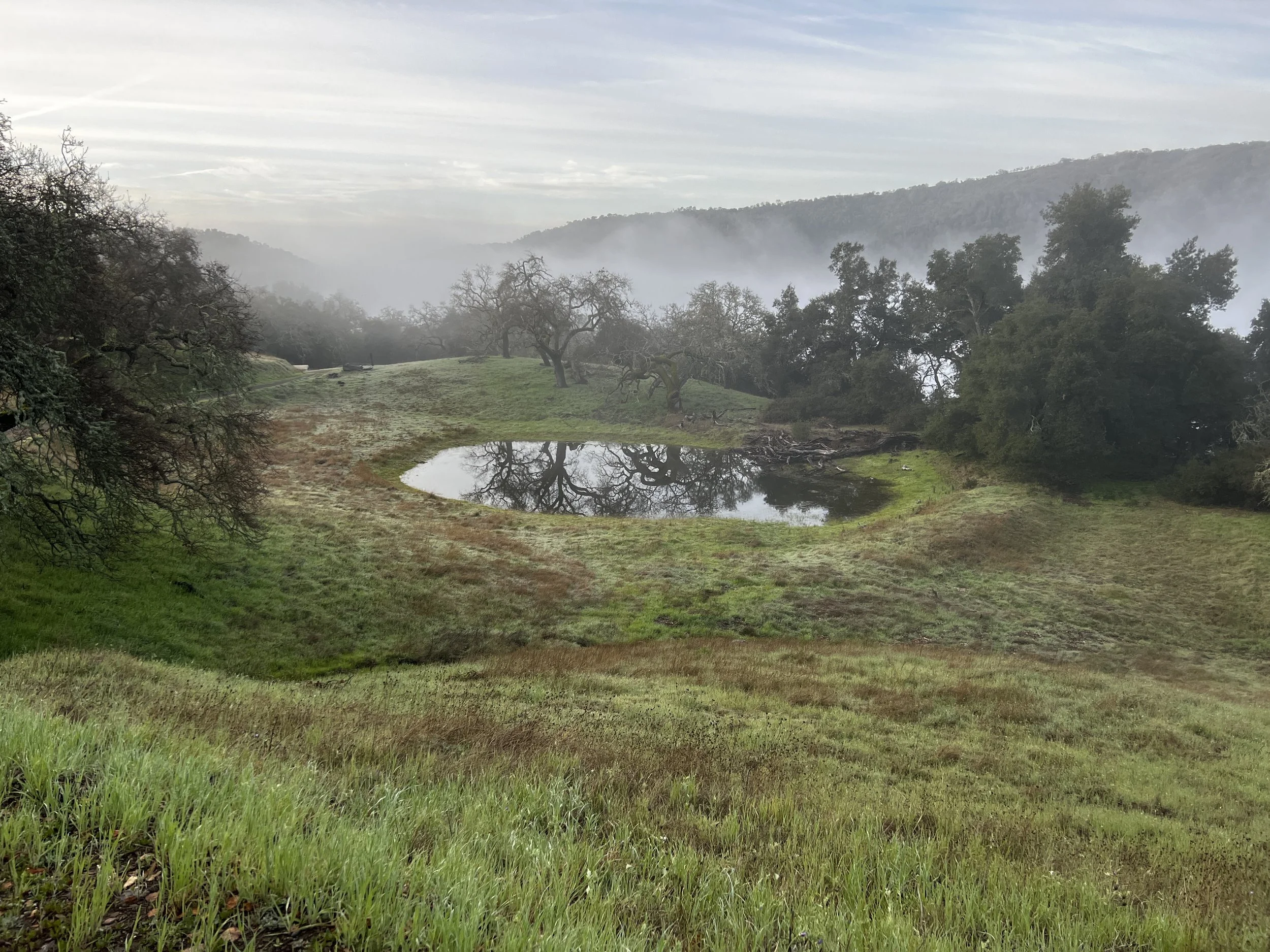
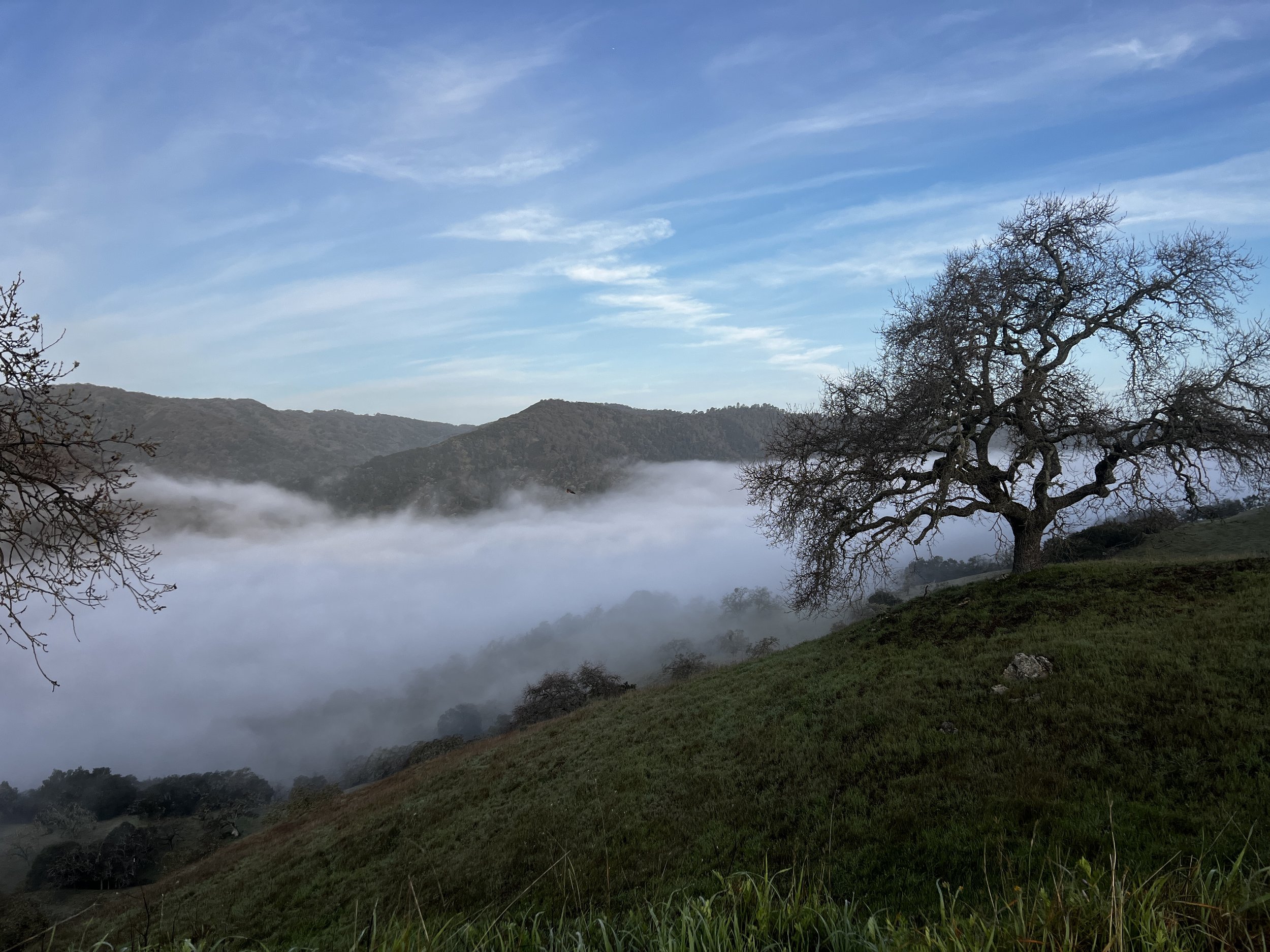
The canyon was filled below me with its own fog bank.
The California Lace Lichen was stunning in the wet morning light.
Every trip has a crux. Some have multiple. That point you have read about. Researched. The part you’re a bit worried about. This trip, that was the Coyote Creek Crossing at China Hole Camp. Weeks before the trip, on a phone call to the park, a Ranger had told me that the creek could be “uncrossable” after heavy rains. I saw a Facebook post a week before that showed hikers crossing “grassy tufts” after their report of “a lot of rain.” Manny had told me it would be crossable, “a bit downstream of the trail.”
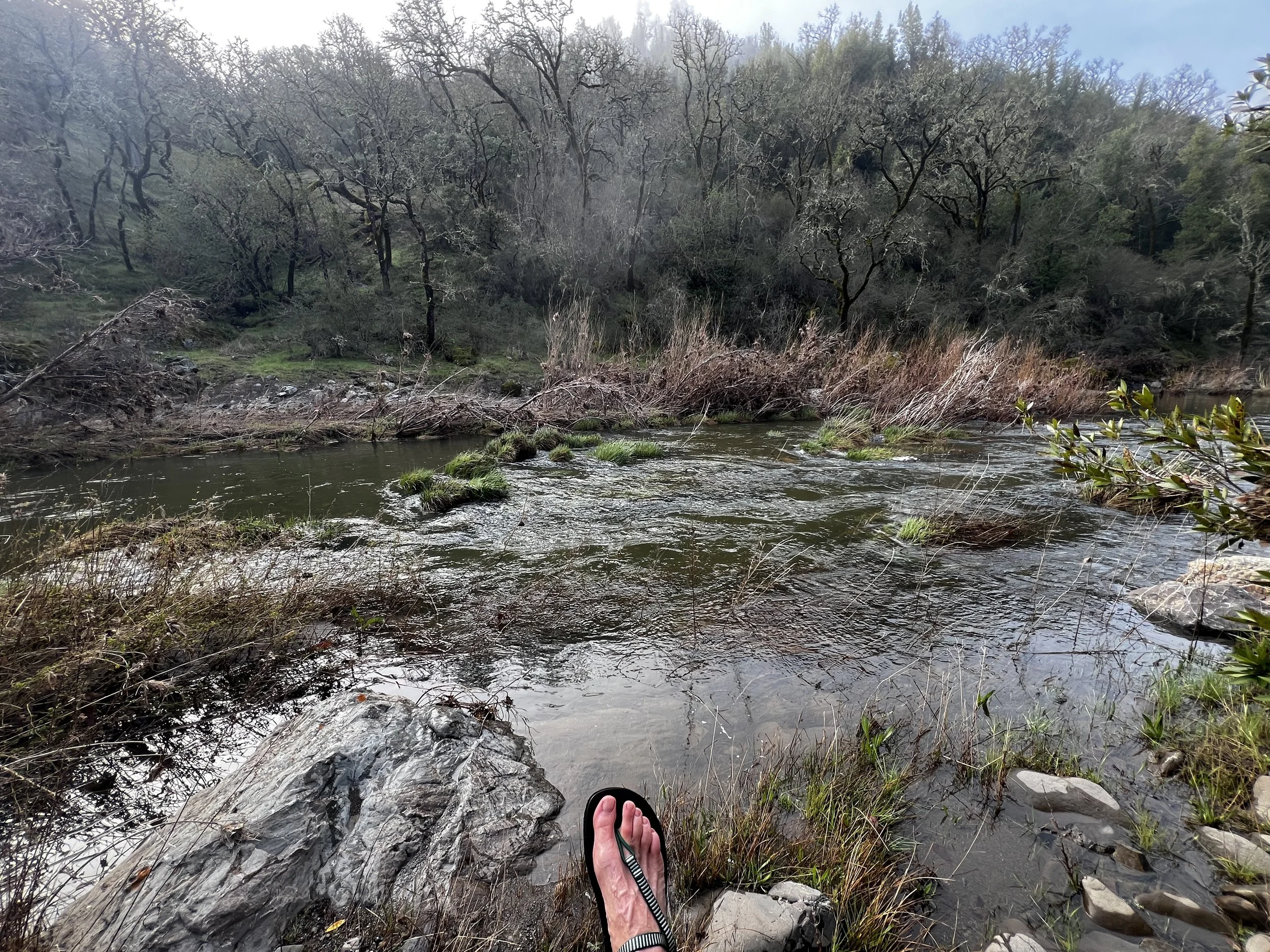
When I arrived, I knew I was going to get wet. Most of the “grassy tufts” were submerged and walking downstream I found no crossing any better than where the trail actually crossed. Once again, I stripped down, threw my sandals on, and made the crossing. Once again, it was deep and cold, but the flow/current never caused me to feel uneasy. I dried off on the other side, took a quick picture and began the long climb back out of the canyon.
The China Hole Trail joined the Manzanita Point Road. Manny had suggested I take the single track Forest Trail instead of the road for the last mile or so as well. In total, it was about 5 miles and 1,400 feet of elevation gain from the creek crossing back to the trailhead. The Forest Trail had some beautiful enormous manzanita to walk through.
It was a nice last section for sure. In the last 2 miles, I saw lots of people; day hikers and some huge groups of backpackers.
I arrived at the Visitor Center before noon. I got washed up, changed my clothes and moved my car back to the 20 min. zone before walking back into the Visitor Center. I was hoping Manny would be working and he was. I wanted to thank him for helping me choose the clockwise direction. The biggest downs were much bigger than the biggest ups. It was the best choice for sure. We talked for a long time about Coe, but also about the Eastern Sierra. For both of us…our true love.
In the first 65 miles, I saw only 4 other people. From my loop, I never saw any of the surrounding towns or cities. I never heard anything man-made, other than airplanes. It was much more of a “wilderness experience” than I’d ever imagined one could have so close to millions of people. For years, I’ve been frustrated in the winter and early spring months that my choices were so limited for snow-free backpacking in Northern California. No more. I’ve got a new favorite spot for that short period of time every year.
I will be back.
Final Stats
4 Days (2 full and 2 half)
67.68 Total Miles
17,369 ft. Elevation Gain
17,254 ft. Elevation Loss
Gear List specific to this trip:

