Grand Staircase Escalante 2024
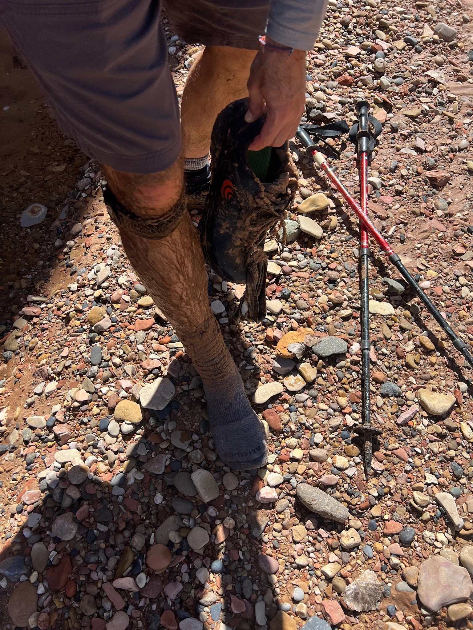
Ranger Steve warned us more than once about possible quicksand in Harris Wash. When we asked what it looked like, he said, “just like all the rest of the sand.” We were a bit weary to say the least.
Spring Break 2024 Day 1
Last year, a good friend of mine put together a 90 mile route that he dubbed, the “San Diego Grand Tour” for me and another friend, Pablo, to tackle. It was amazing. It had a bit of everything. Elevation, water crossings, snow, rain, fog, wildflowers, solitude, the company of a mass of PCT thru-hikers in their first few days and temperatures at both extremes.
A year later, as another Spring Break approached, I suggested to Pablo that we head east, to Grand Staircase Escalante National Monument. He’d never heard of it. And as always, he trusted me as the planning began. Unfortunately, we were both quite busy leading up to the trip and although we had ideas about things to do, really weren't sure of the specifics as our departure approached. We rolled out in our rented Kia having hooked up with a shuttle driver who would help us with the first part of our adventure.
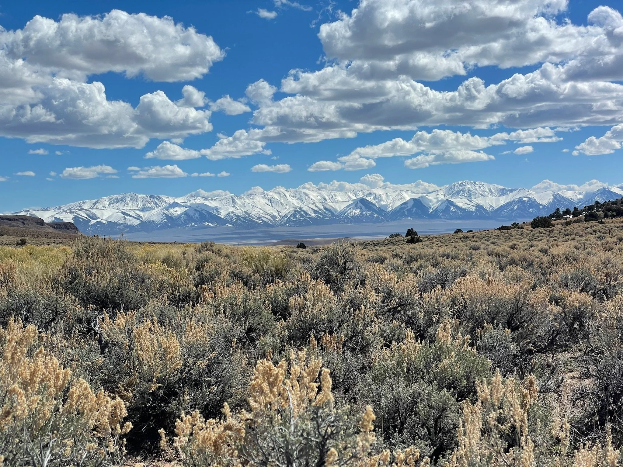
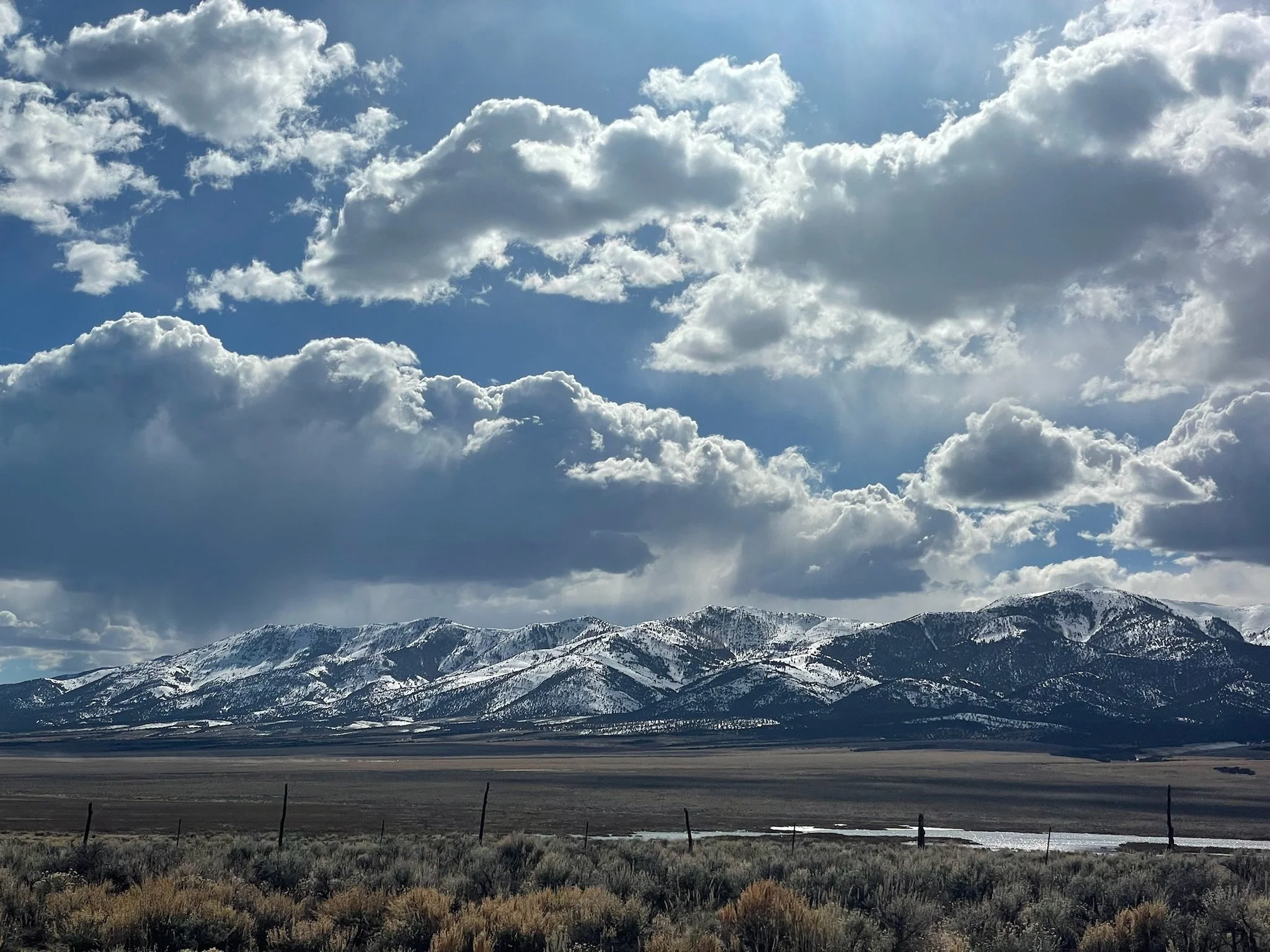
The views headed east on Highway 50, “The Loneliest Road in America,” and crashing in a dispersed camping area just outside the town of Escalante, we were excited for the adventure to come.
Spring Break 2024 Day 2
We woke up to icy conditions at almost 8000 feet in elevation and spent quite some time at the Escalante Interagency Visitor Center both having a yard sale in the parking lot to dry out all of our gear, and to chat with Ranger Steve who would help us better understand Harris Wash and the Escalante River Canyon that we would be traveling through over the next handful of days.
He warned us more than once about possible quicksand in Harris Wash. When we asked what it looked like, he said, “just like all the rest of the sand.” We were a bit weary to say the least.
We made the 10 minute drive to the northern terminus of the Escalante River “Trail,” parked our car and hopped in Shawn’s 4-Runner for the drive to our drop off spot in Harris Wash. Shawn and his wife own a family owned and operated business, Escape Goats, celebrating their 20th season as a permitted outfitter, guide and shuttle service for the Escalante Grand-Staircase National Monument. I couldn’t recommend them more. On the 50 minute drive to our drop, he shared many nuggets of wisdom with us that would prove to make our trip even better than it could have been. When asked about what the quicksand looked like, he said, “just like all the rest of the sand.”
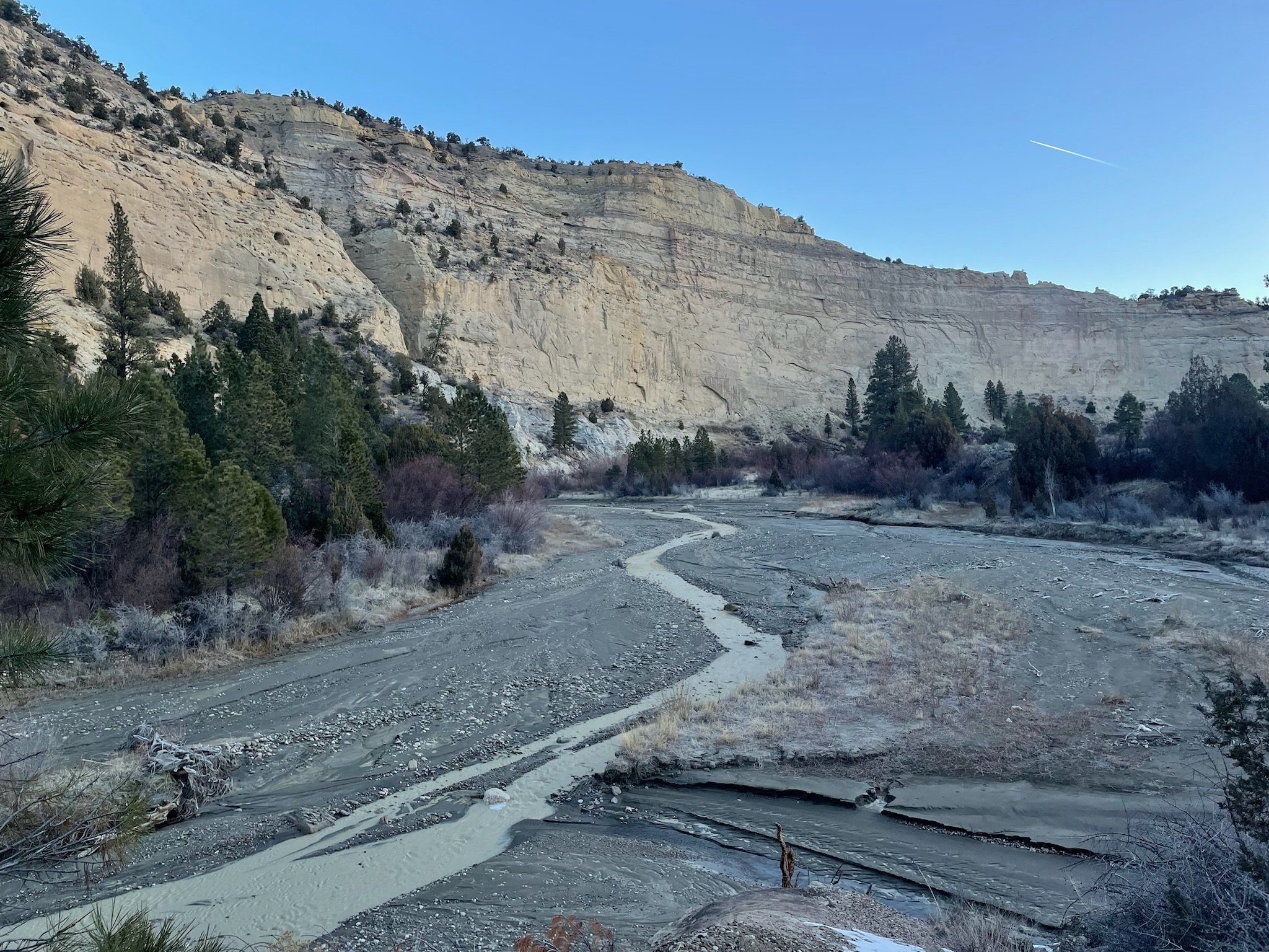
It would be an interesting start in Harris Wash as we started our 13 mile trek towards the Escalante River.
The quick sand started just an hour into our hike. Pablo was the first to sink. He was down to his knee before he knew it & almost lost his shoe as he struggled out of the deepening hole. Over the next few hours, we were both in awe of our surroundings & a bit anxious of when the next quicksand would appear. During our walk in Harris Wash, we each hit quicksand at least 30 times. Some were ankle deep, most knee deep, while one took me down to my waist. Every time we were each able to get out on our own but we were both always on guard for the next sinkhole.
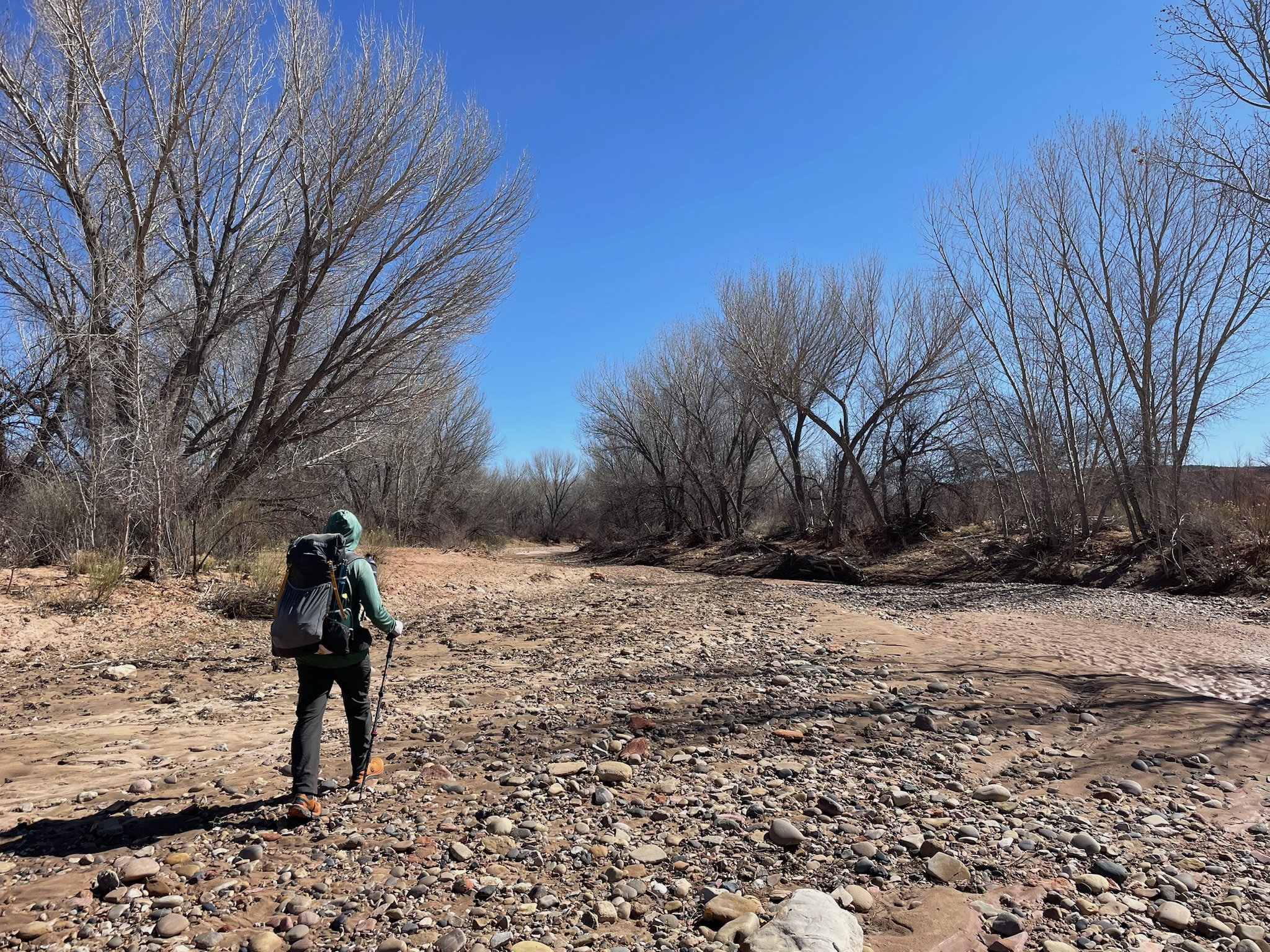
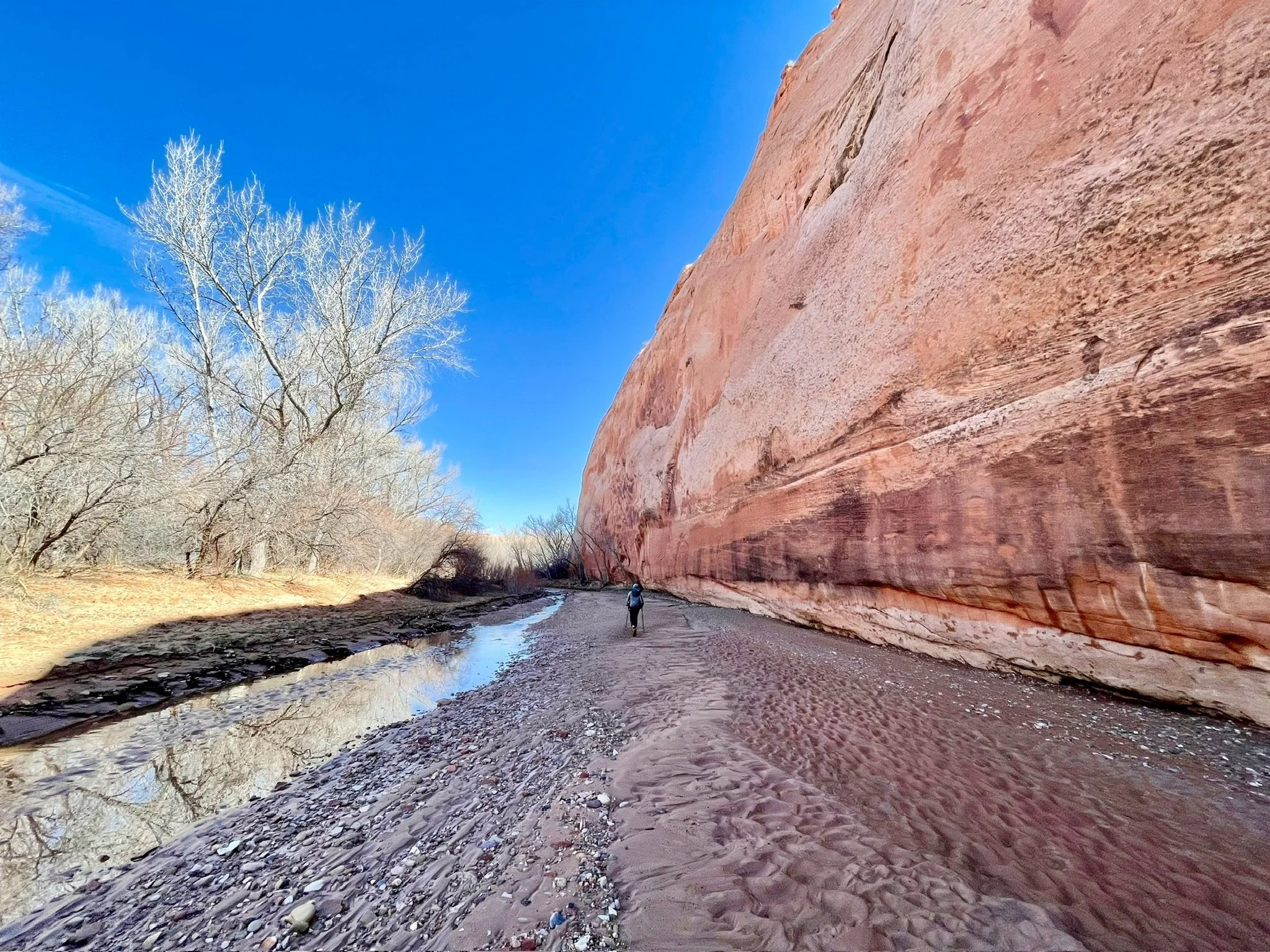
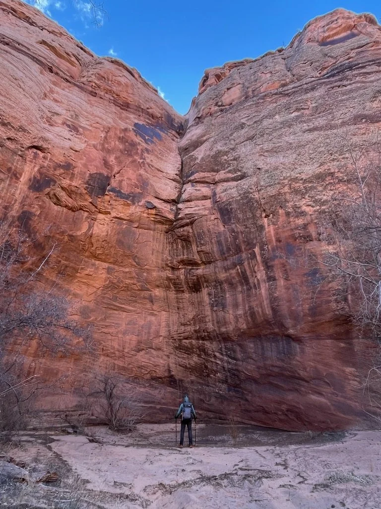
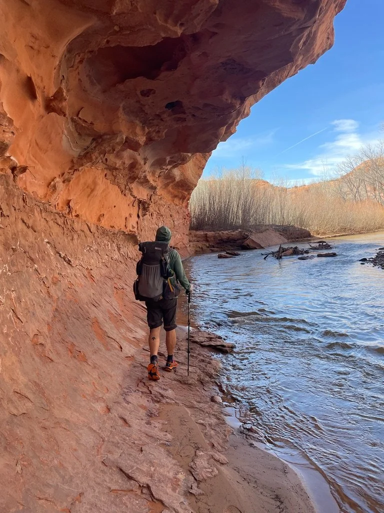
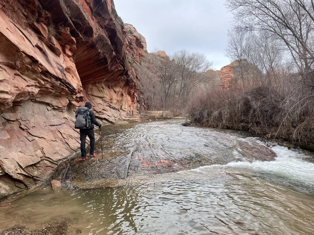
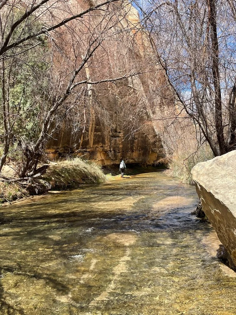
The walls grew higher & at times we were able to climb out of the wash for bigger views. After 13 miles we hit the Escalante River & turned upstream. We were at mile 45 of a 90 mile stretch which starts in the town of Escalante & ends at Lake Powell. The water immediately became deep & powerful & the tricky river crossings began. All in all, we would cross the river 30+ times a day on our 4 day adventure.
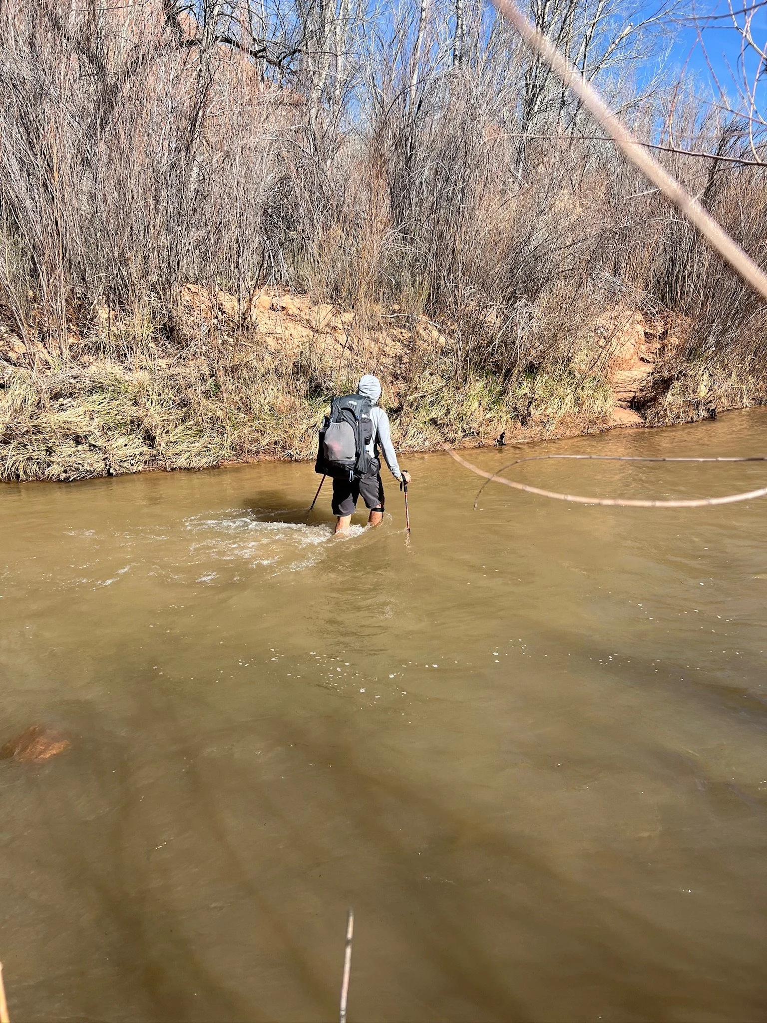
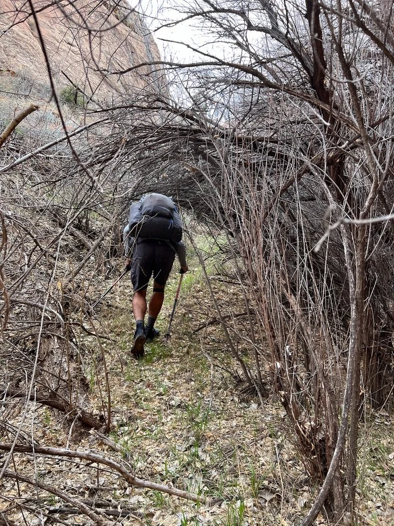
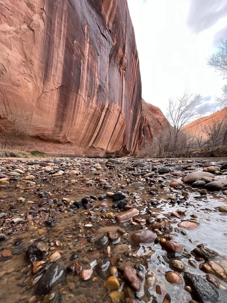
Walking in the river was challenging because of the powerful current, the icy cold early spring temperatures & the hidden river bottom covered in slippery boulders & loose sand. But at least it didn’t hurt. Walking on land was about 80% bushwhacking through dormant willows which gouged at our packs, scraped our legs & arms, & from time to time, threatened to poke an eye out. But damn this was a beautiful place.
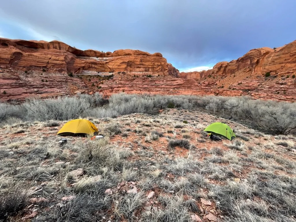
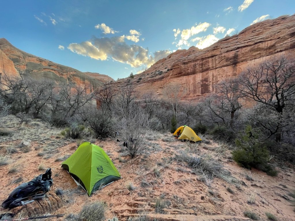
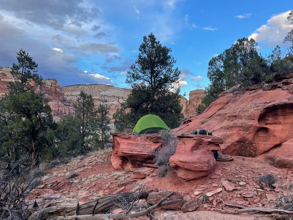
After 15 miles, and no trail, we climbed high to find our campspot. Just 50 feet up above the canyon is warmer & drier. As temperatures drop, a thin layer of air (Katabatic Air) close to the ground undergoes cooling, resulting in increased moisture content & density compared to the air above. This phenomenon creates a completely separate thermal boundary, which limits the exchange of energy with the air layers above it. Camping above this layer is almost always both 5-10 degrees warmer & also out of the wet air layer that causes condensation. Our night was beautiful & dry. We sat out & chatted about the highs & lows of today & what might come tomorrow. The food was terrific, the stars were amazing & the conversation, as always, was plentiful.
Spring Break 2024 Day 3
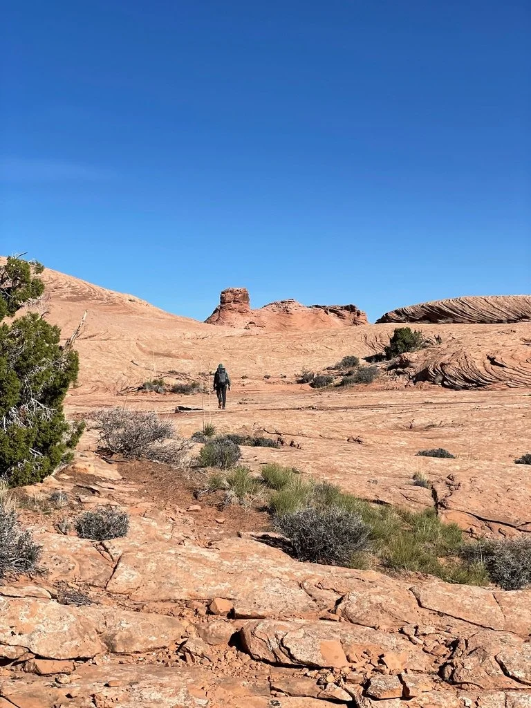
After a wonderful night's sleep, we woke to the sun. We had some breakfast, explored the area above our tents a bit, packed up and got a pretty late start. The day got started right away with lots more river crossings. More than that, bushwacking. Today would be the most challenging day of pushing through stands of willow, cottonwood trees, box elder trees, various shrubs such as sagebrush and rabbitbrush, as well as desert-adapted plants like cacti and yucca. Pablo had shorts on and I had pants that, at the time, I was rolling up for each river crossing and down afterwards. There was no trail. Only game trails that would appear for short periods of time. We both left a lot of skin in that canyon for sure.
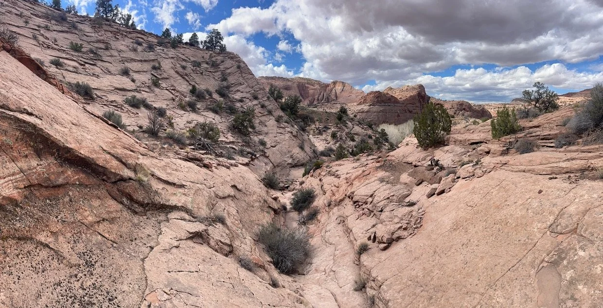
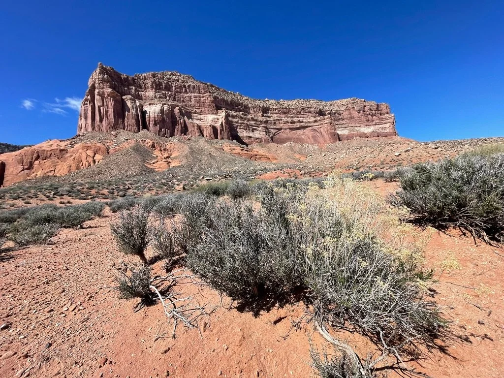
With that being said, there were also many short stretches of open canyon walking and because the majority of the growth was still dormant, we were able to have enormous views of the canyon at almost all times.
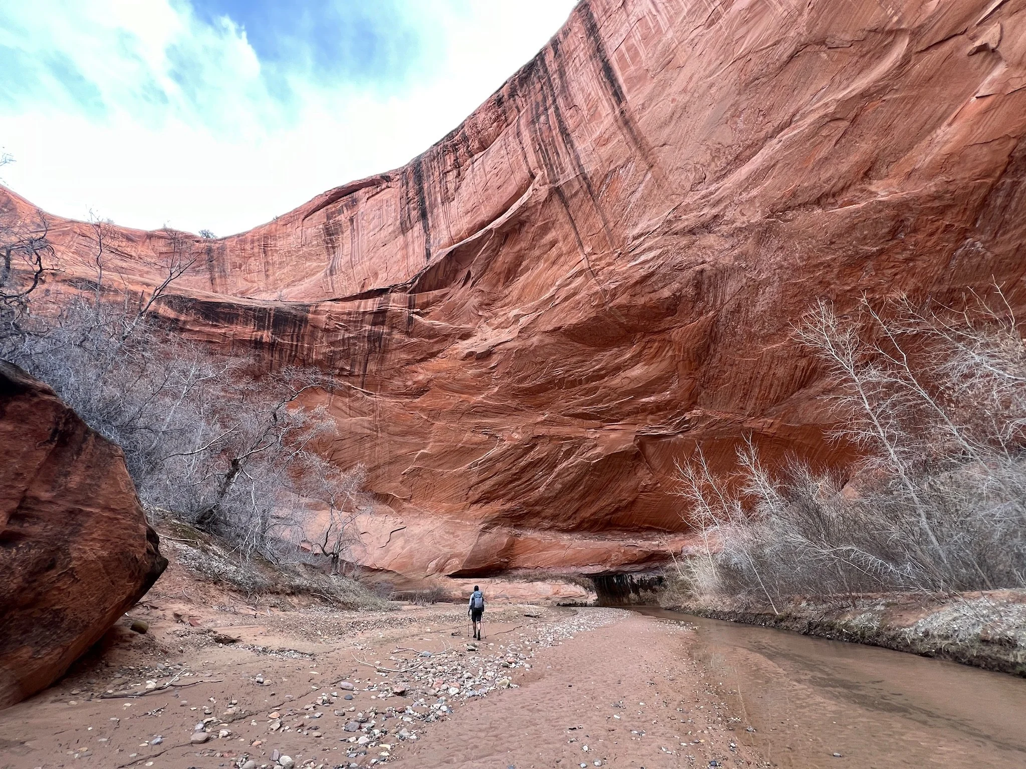
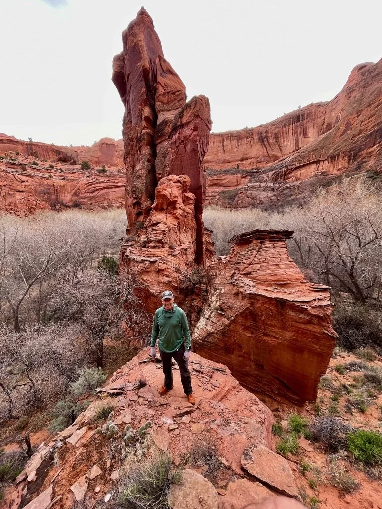
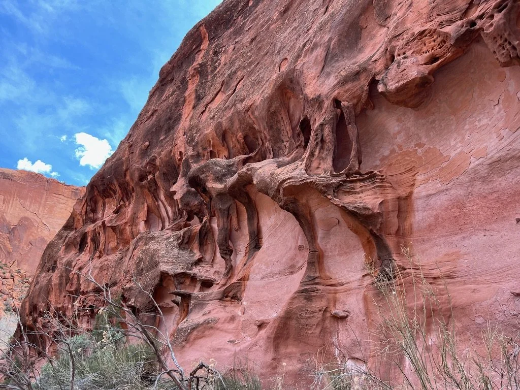
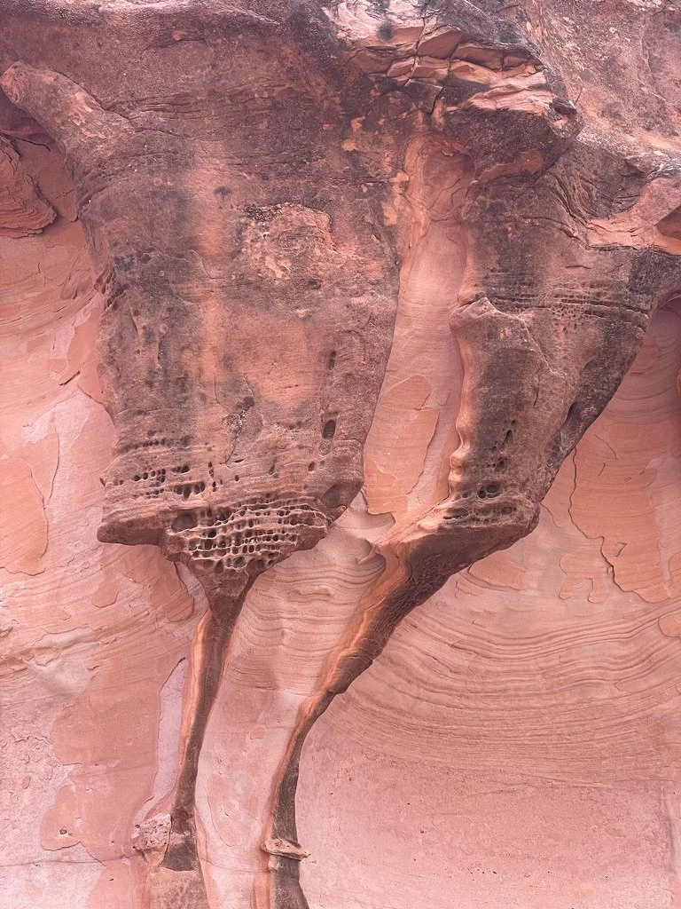
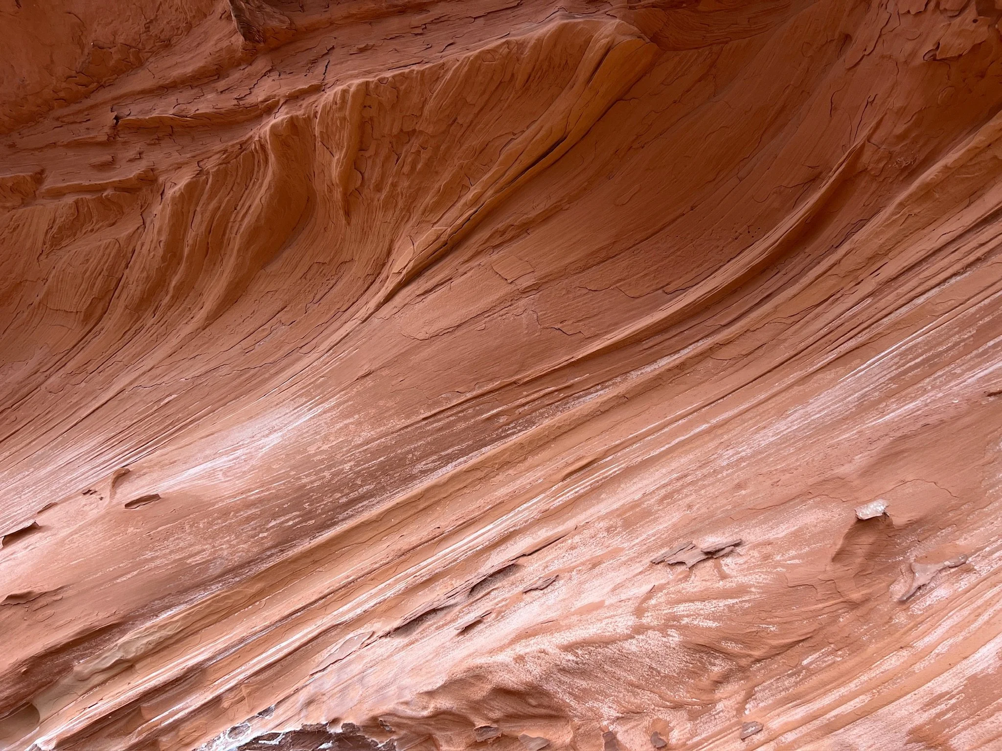
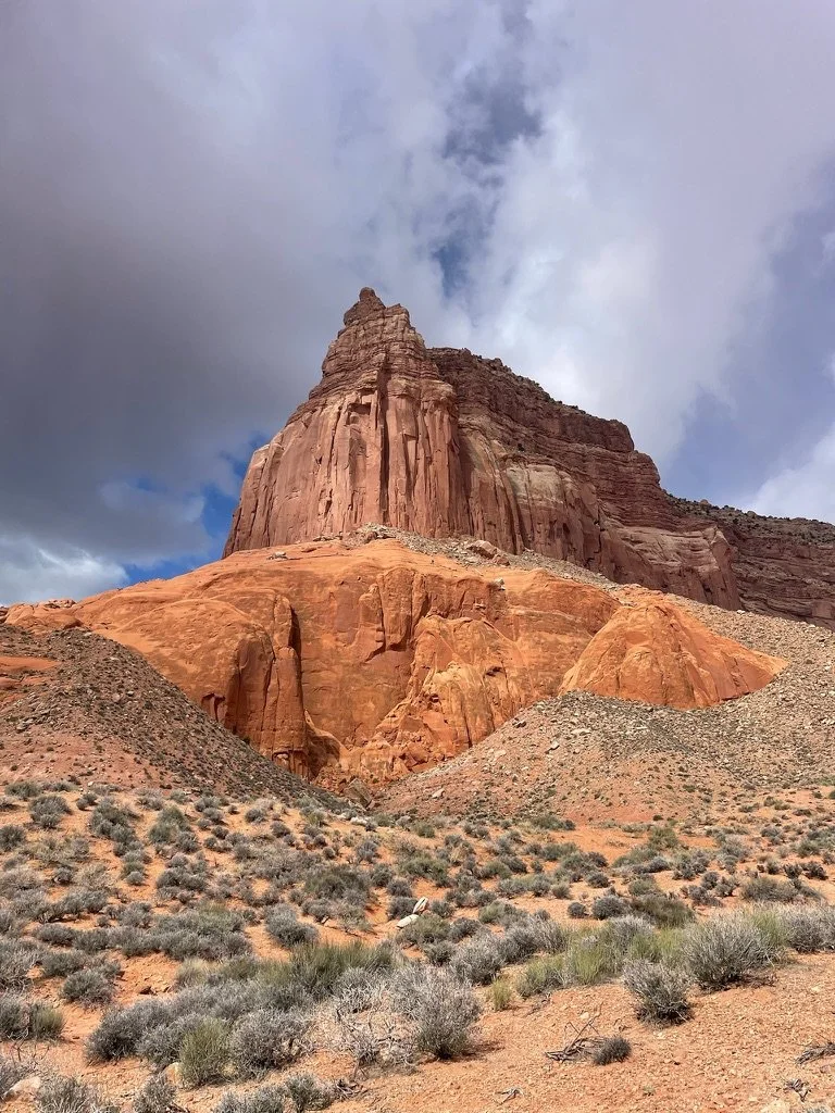
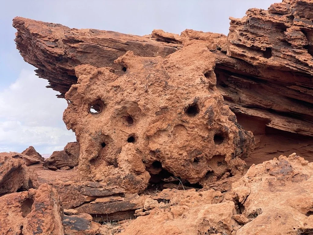
There were places during the afternoon of day 3 that just blew our minds. Rock formations that were otherworldly. We learned later that the differences in color, texture and shapes were all directly connected to the amount of lead in that specific formation. It was spectacular.
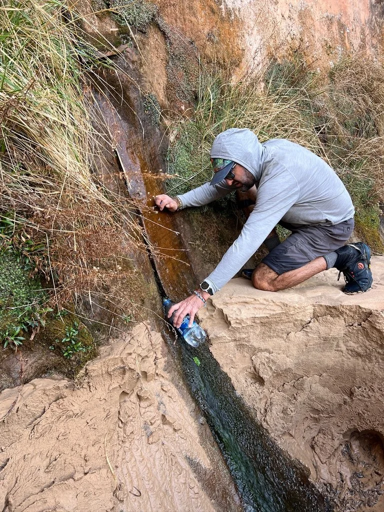
Later, we came to a spring that Shawn had told us about. The crystal clear water flowed right out of the rock with no filtering needed. This was a welcome sight as the water in the Escalante River was quite silty with fine sand that had already penetrated all of our gear thus far.
Once again, we climbed high to escape the cold air, found a spot to camp and set up our new home after another trailless day of just over 13 miles.
Spring Break 2024 Day 4
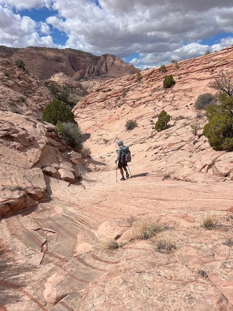
After another wonderful night it was back to the “trail.” We were getting a bit better at route finding and today started hanging closer to the canyon walls on the west side of the river a lot of the time. We’d found that when there was easier walking to be found, this was the place to find it.
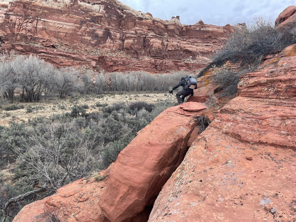
Today was also the first time we decided to venture into higher country as we decided to climb out of the canyon to cross the high country over about a ¾ mile bend in the river. It paid off with much easier walking and enormous views. Finding a place to climb back down to the river proved to be a bit tricky. After aborting one descent that got way too technical, we found another that was much easier to navigate.
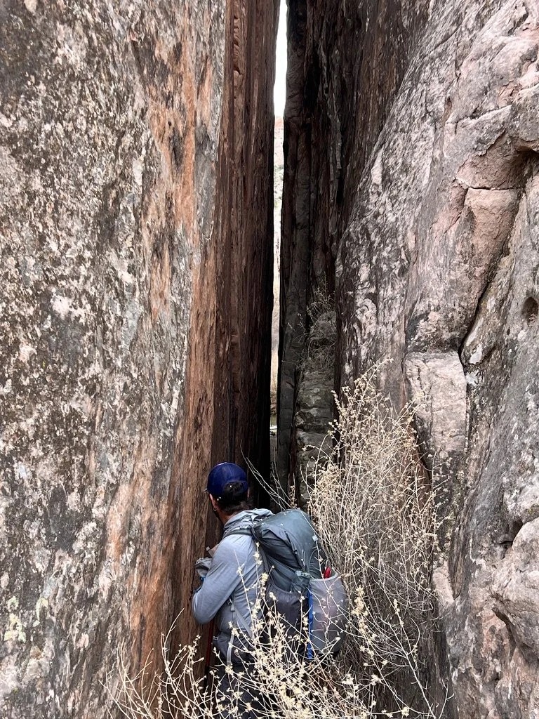
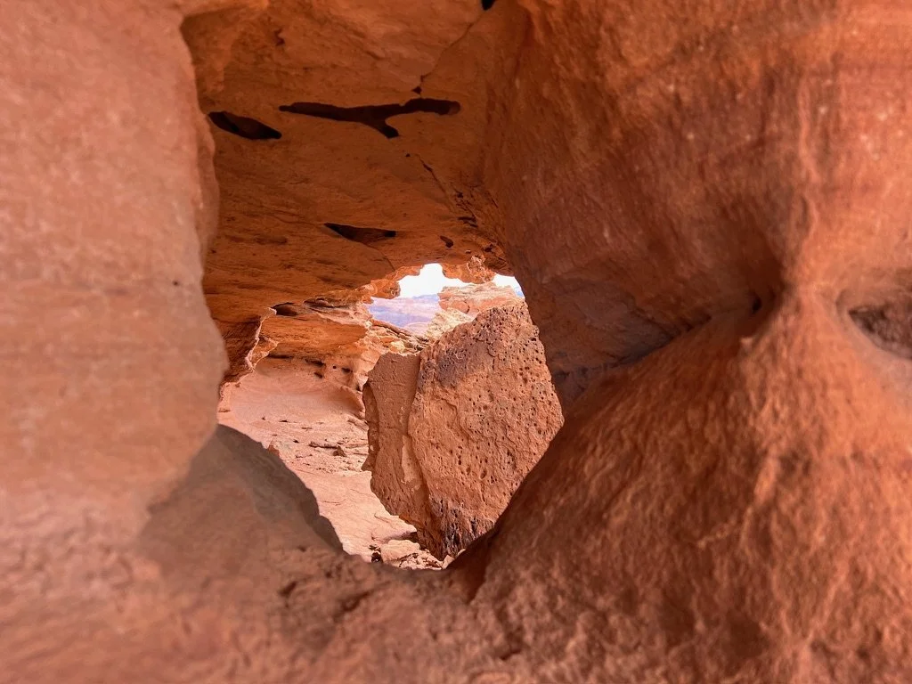
Later, we found a crack in the wall where we could look from one bend in the river all the way around to the next. It was way too narrow to walk through but we enjoyed the view.
Shawn had shared some beta on an old miner’s cabin and some possible indigenous sites. We tried climbing into one canyon but the Redtwig Dogwood with bright red stems covered in tiny thorns tore us to shreds in just the first 50 yards forcing us to turn around. We hoped we’d come across some historical evidence later in the trip.
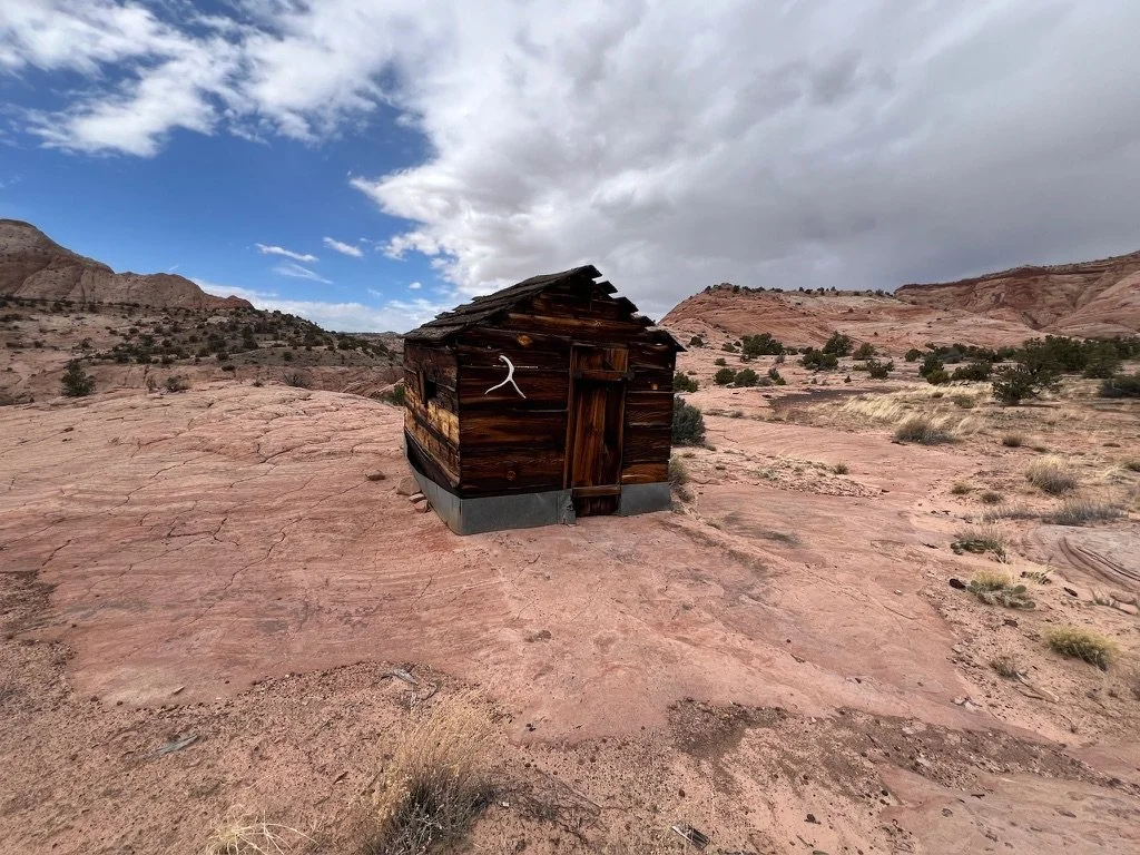
After a break for a snack, we saw another opportunity to get up high. We dropped our packs and started climbing. Immediately, we saw the remnants of an old fence up higher and so we continued climbing. The fence looked to be an old cattle fence and we climbed still higher. A few minutes later we spotted a structure. The Miner’s shed we’d been told about! We’d come up another drainage and found it from a different direction. It was amazing and completely intact. We took many pictures and admired it, making sure not to touch a single thing with the hope that others, who come after us, would continue to respect this historical area.
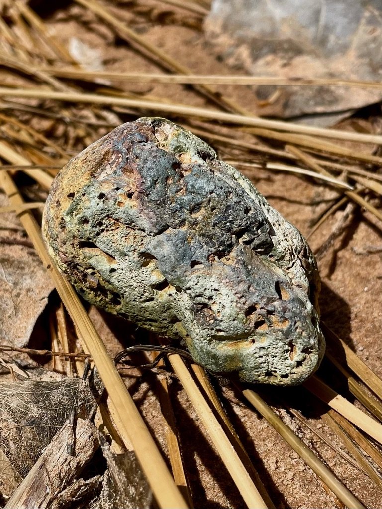
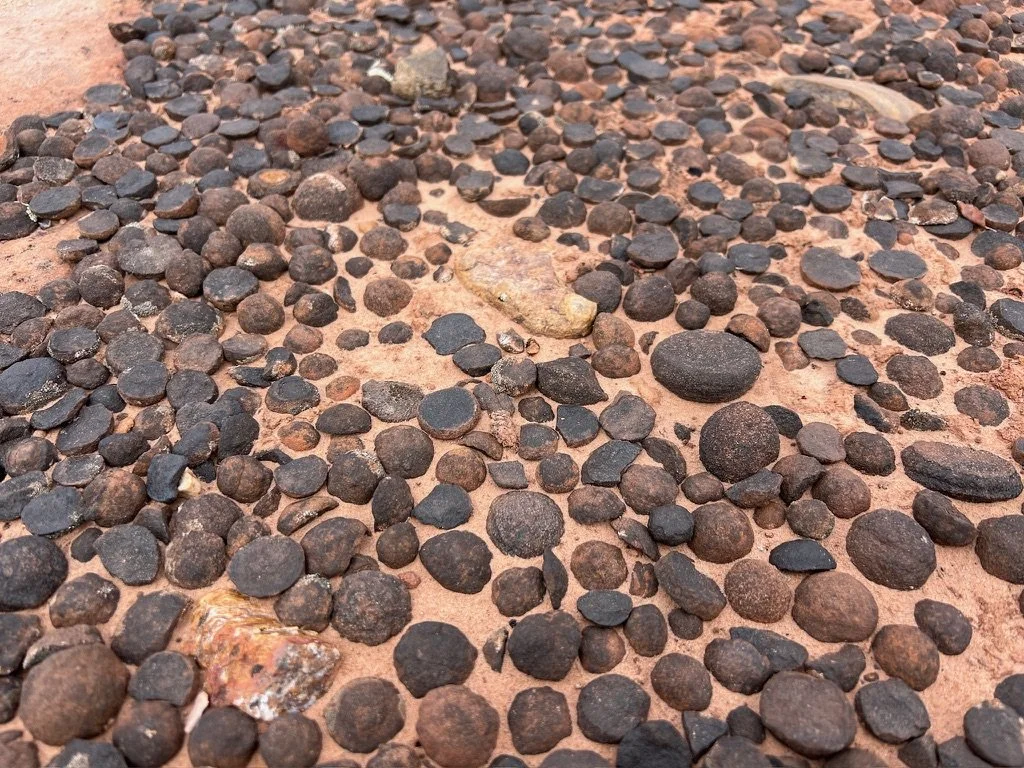
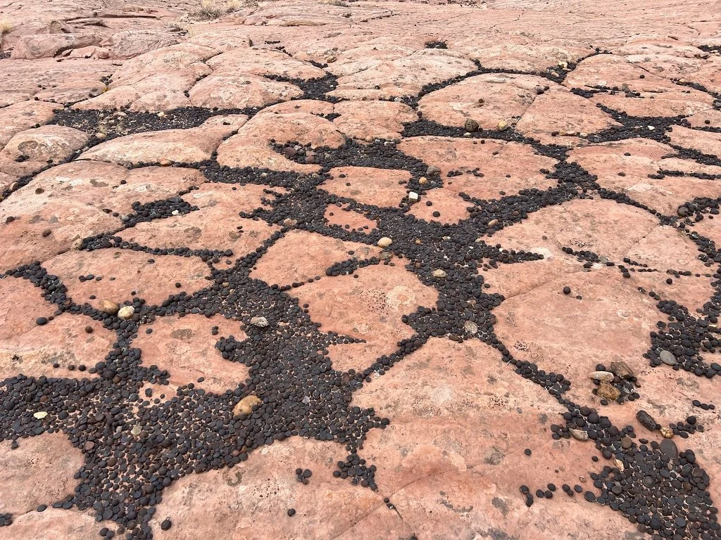
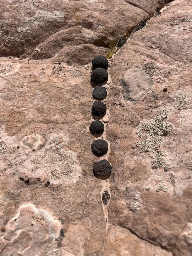
The other interesting thing about this area were the large numbers of perfectly round black rocks. They were everywhere and sometimes laying in artistic ways that looked intentional. We wandered this area for a very long time and even contemplated cutting our day short to camp here. As we sat and debated our options, a cold howling wind blew up on us reminding us that the spirits would prefer we moved on.
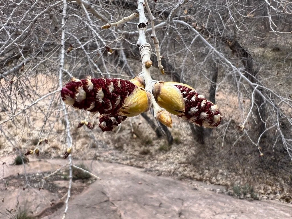
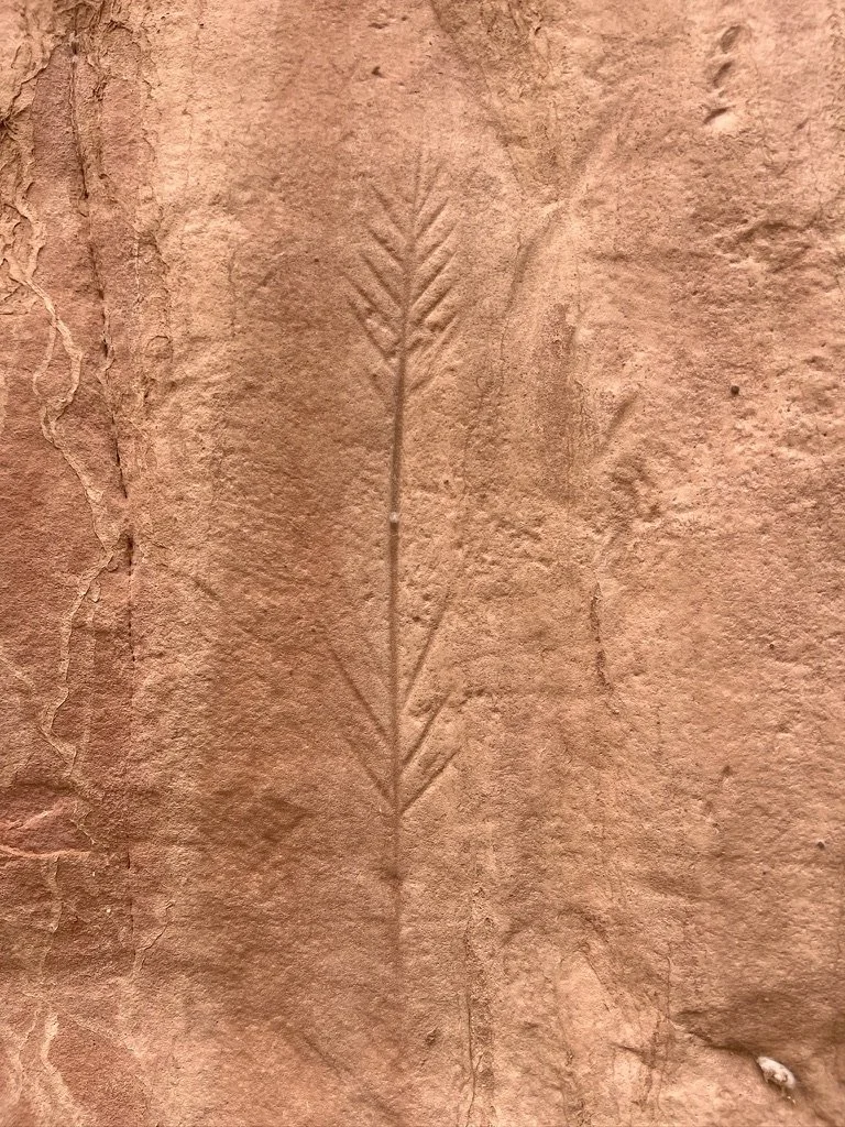
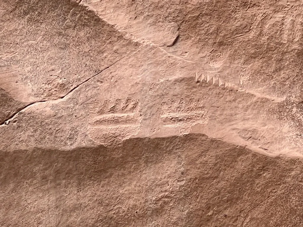
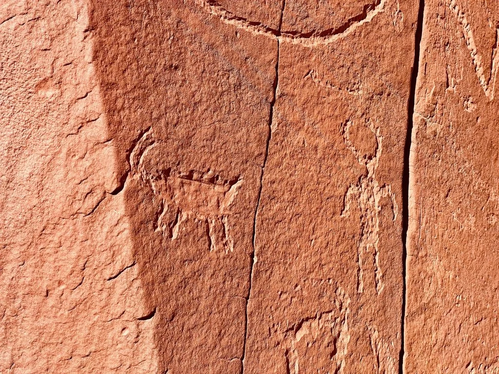
Later in the afternoon of day 4 we’d be entertained every step. From Cottonwood Tree buds to Petroglyphs, our day was filled with starts and stops to appreciate the beauty and history of the area. We’d learn later that most of the carvings we were finding were 500-1000 years old.
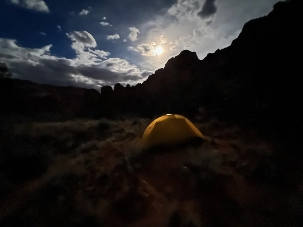
We found an amazing campsite up high and out of the cold air. It would rain on us that night a bit and strong winds would pound our tents. But bedtime and morning were both very pleasant. The full moon sang us to sleep after an almost 14 mile day.
Spring Break 2024 Day 5
We were now a full day ahead of our plan and because we were walking back to our own car, and not a shuttle, it would be easy to adjust our plans for the rest of the week. Today would be the day we would go under the bridge at Highway 12 and complete the last leg of this almost 60 mile hike through the Escalante River canyon.
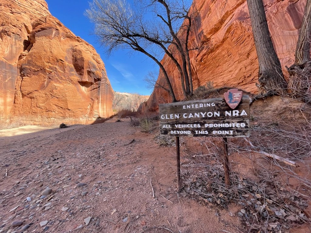
Our morning started cold with some down-climbing from our elevated campspot. It continued through more stunning rock. And finally, we arrived at some private property we would have to navigate as we approached civilization. This included our first sign in days.
A day earlier, we had passed the tributary for Boulder Creek. Once passed it, the flow of the Escalante was cut in half. Once we reached the Highway 12 bridge, another tributary cut the Escalante down even further and for the last 15 miles the river crossings were never more than about ankle high.
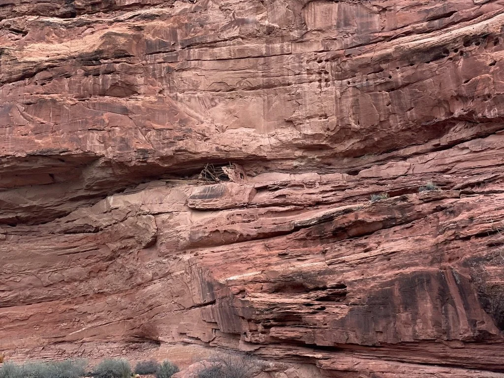
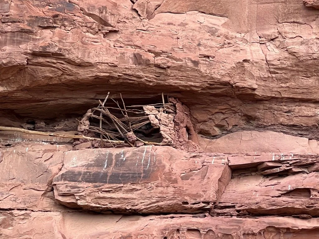
As we approached the HIghway 12 bridge, I looked up on the canyon wall and spotted a clay and wooden structure. Later, we were told that the long wooden piece of wood was part of a ladder leading up to the area almost 30 feet high on the wall. We hadn’t anticipated seeing things like this and would see another similar area later in the day.
Once we passed the bridge we had a trail for the first time in 4 days. It was faint in some places, but the bushwhacking was finally behind us. Just a mile, mile and a half into the trail we came upon Escalante Natural Bridge. This was a 130 foot high spectacular arch that we had breakfast in front of.
The trail continued through the middle of the wash and just minutes later we would spot yet another dwelling high up on the wall.
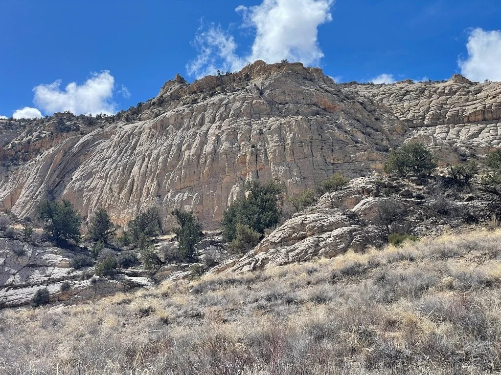
The water streaks in this area, bordered by the dormant Cottonwood Trees reminded me a lot of Zion National Park. The further upriver we walked, the less red and more white the features became.
That afternoon, we took a wrong turn up Mamie Creek thinking it was the trail because it had more water. It was not. We only walked about a half a mile and it was well worth it as the creek ran across solid rock for the entire time.
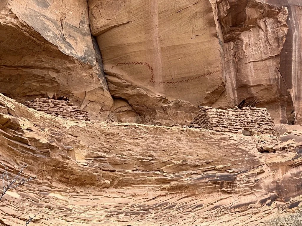
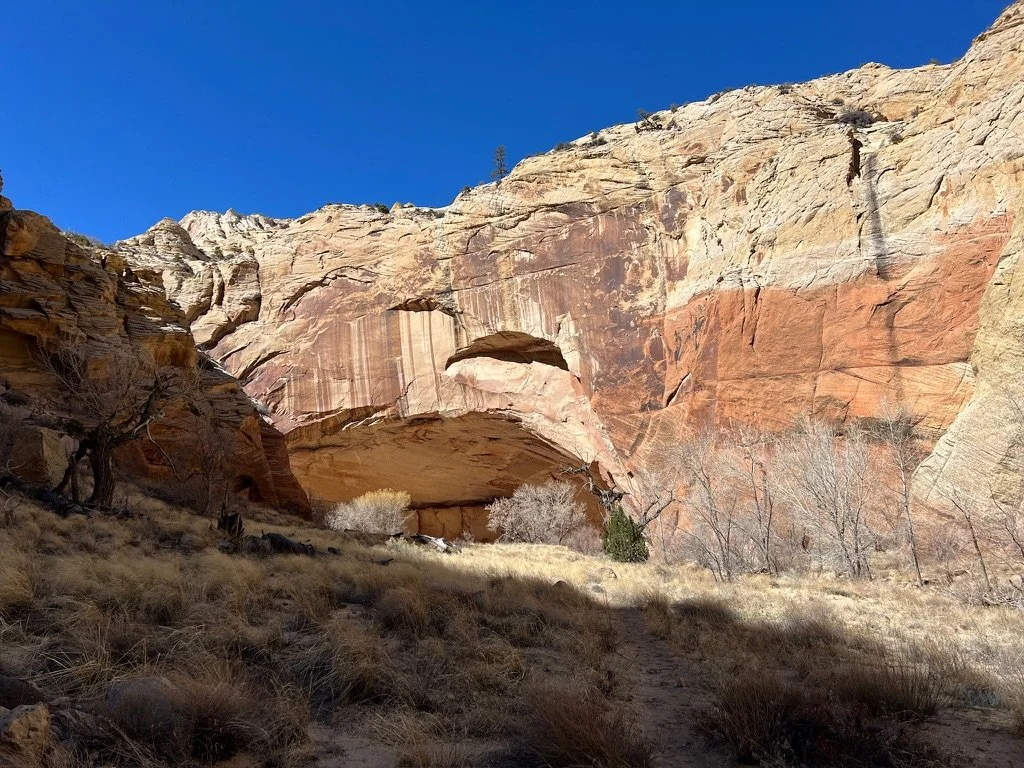
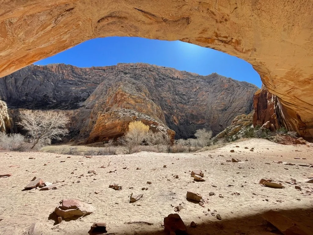
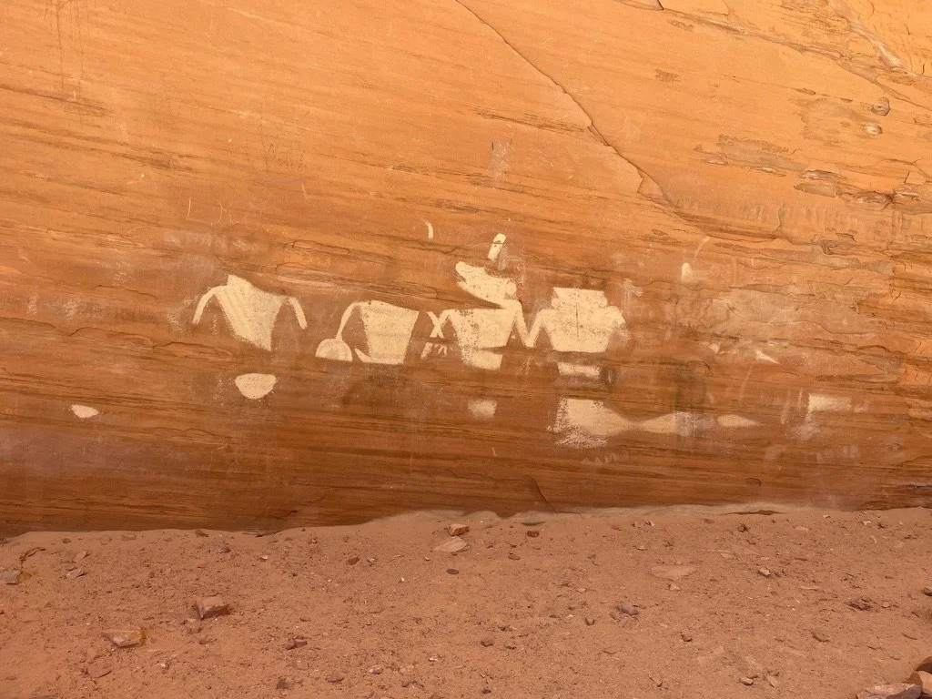
Once out of Mamie, we were on the final push to our car. Our hope was to get there early enough to hit Escalante Outfitters for pizza and beer. The walls continued to grow more white and the canyon opened up. We were both tired, beat up and looking forward to ending our day. Around a few more bends we came to an enormous alcove with an interesting pictograph, the first we’d seen which later we would find out was quite famous in the area.
And then, the canyon just opened up and we rose out and spotted our car. Our 18 mile day was done and we’d traveled just about 60 miles through this harsh wilderness. We had 3 more days and no idea what we’d do with it. At that moment, all that mattered was beer, pizza and a real chair.
Spring Break 2024 Day 6
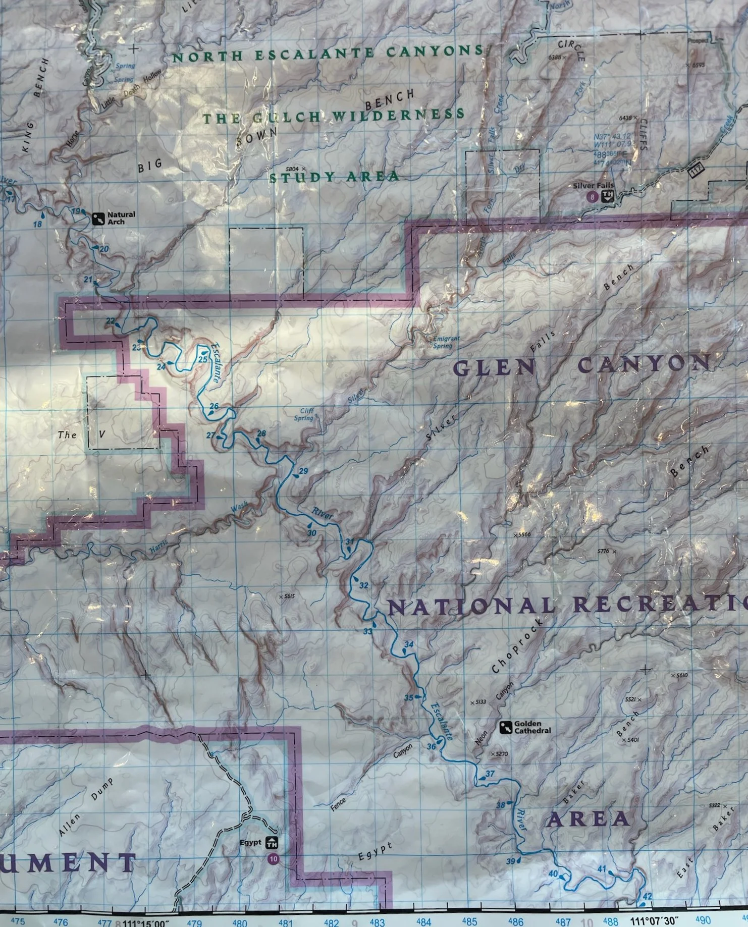
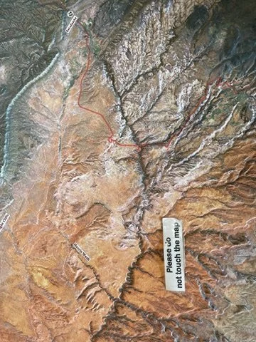
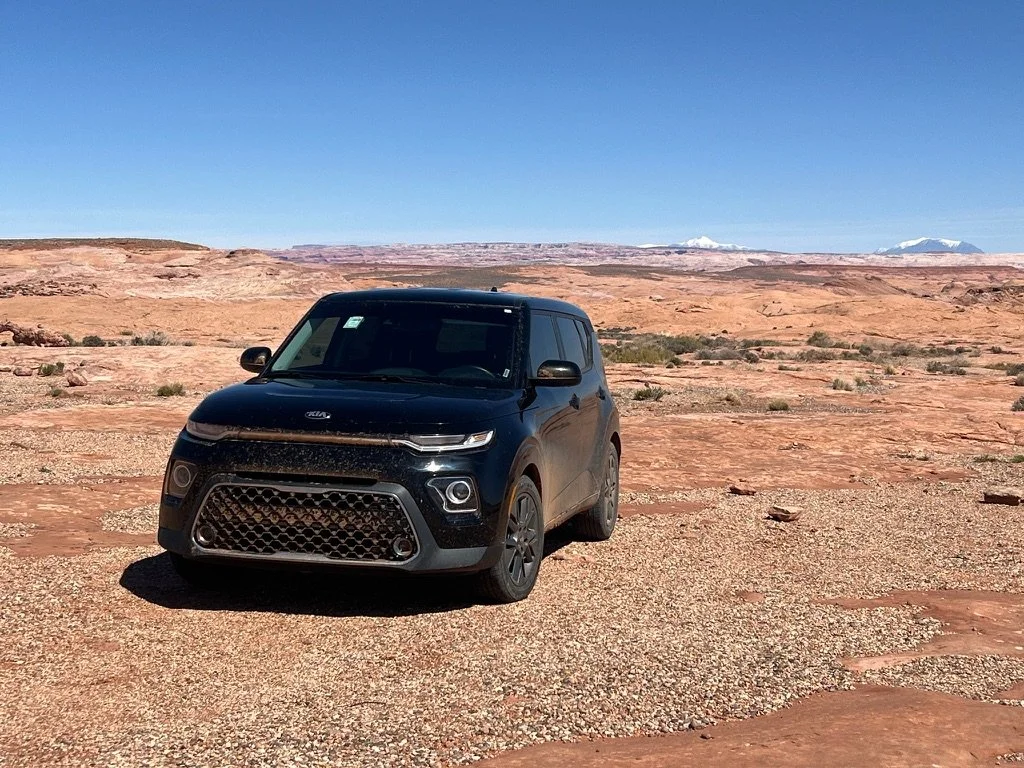
Last night was quite enjoyable. After getting two large pizzas and 4 beers between the two of us, we decided to stay at the Prospector Inn and take advantage of their “winter rate.” We did a load of laundry next door at the Outfitters and pulled out the maps to figure out what was next. While talking, I learned that Pablo had never even seen a picture of a slot canyon much less been in one. Hmmmm. A cold front had come in that night and temperatures were down by 10 degrees. This meant that nights would be in the 20’s. The Prospector Inn for the night was appreciated. Our loose plan had been to travel to Capitol Reef National Park the following day for another 1-2 nights out in the backcountry. The cold weather and an angry Achilles tendon on Pablo’s foot were making us rethink things a bit. After some wonderful coffee at the Outfitters, we decided to stop into the Escalante Interagency Visitor Center once more. A kind ranger shared her knowledge about Capitol Reef and also gave us more information on Escalante. After checking out an interesting 3-D relief map of the entire 60 mile route we’d just covered, we made our decision. We’d drive an hour back down the dirt Hole in the Rock road, in our badass Kia Soul, to the Peek-A-Boo and Spooky Slot Canyon Trailhead (Dry Gulch), and spend an afternoon exploring.
After an hour-long drive making our way over the rough, washboarded, unpaved and very rocky Hole in the Rock Road, we arrived at the Dry Gulch Trailhead. There were about 10 other cars in the parking lot. All were 4-wheel drive. Our jet black Kia Soul performed like a champ getting us there.
In the 4-day 60 mile trip along the Escalante River, we’d seen no one for the first 3 days. On day 4, we saw two separate couples and near the end, a guided trip of 10. We were “prepared” to see a lot more people today and the parking lot was a hint of things to come. The hike started up high on the mesa but soon dropped into Dry Gulch. I’d been here years ago and remember reading that the quicker way is to skirt around this canyon rather than drop into it. We weren't in a hurry and were here to see all the sights. We were not disappointed.
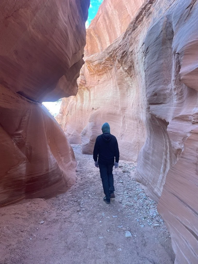
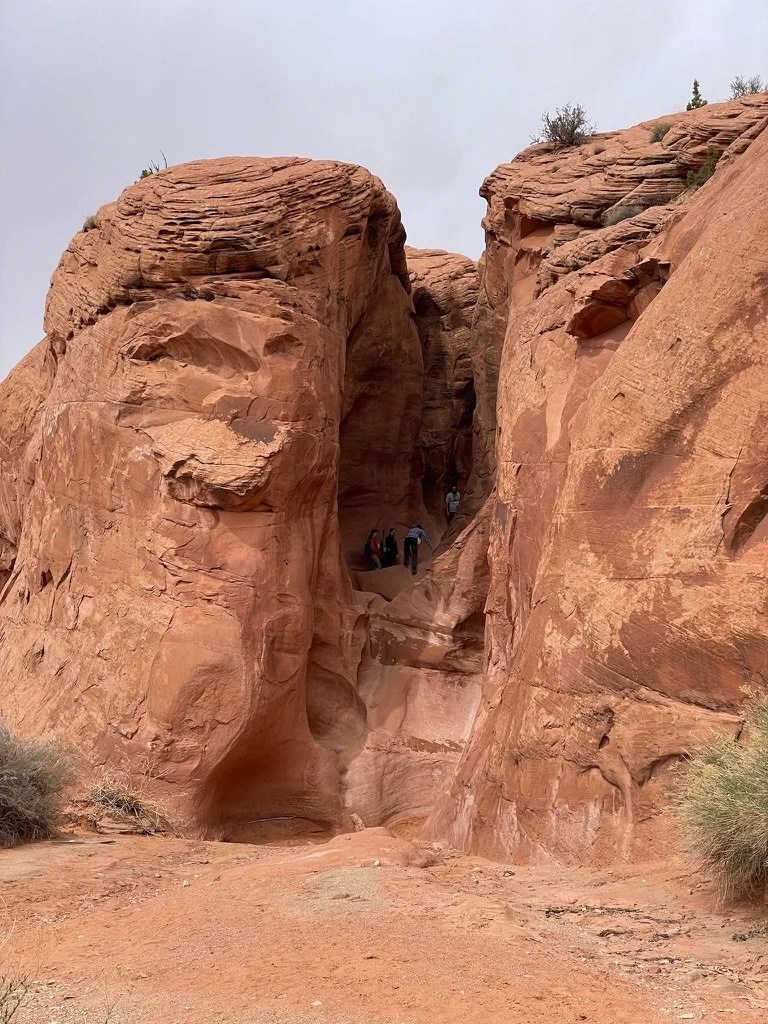
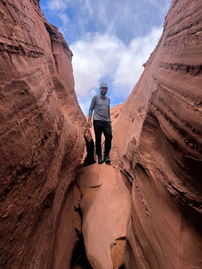
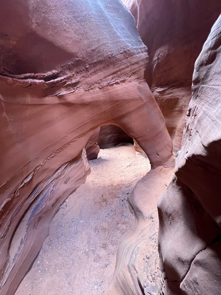
The canyon started off with walls of only about 20 feet and a sandy bottom and quickly turned into a fun scramble on red sandstone. As we continued further in, the formations became more whimsical and the scrambling a bit more challenging.
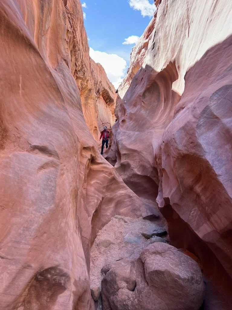
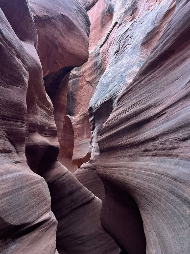
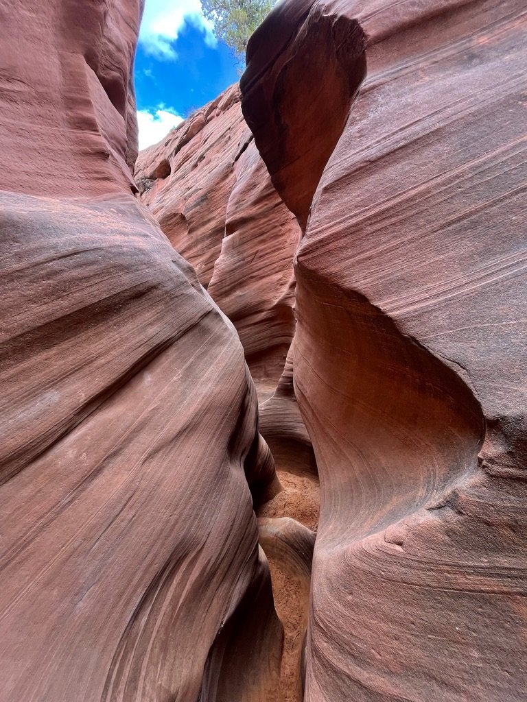
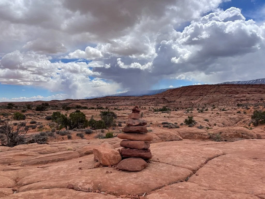
We exited into a large wash and saw the entrance to Peek-A-Boo with some people who had just crested the top lip of the entrance to the slot canyon. After making the ascent ourselves, we only took a couple pictures in the second slot canyon as the phones were tucked deep in the backpack so we wouldn’t lose them. We hiked on and off with a couple from BC and towards the middle hit quite the bottleneck of hikers. Once past them we were all alone once more. After about 25 minutes of fun, we popped out, climbed to the mesa and began following the rock cairns to the last slot canyon of the day…Spoooooooky.
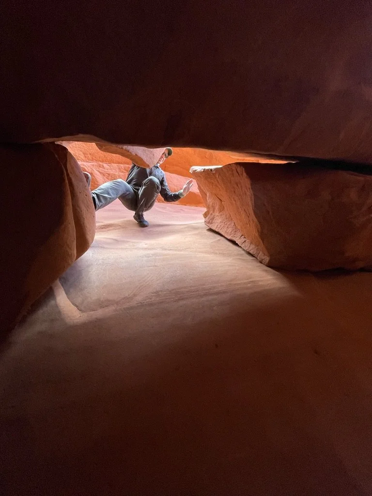
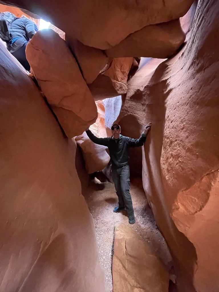
Spooky Canyon was aptly named. As we dropped into this slot we could feel that it would be different. The light was almost immediately different. More muted. Some might say, “spooky.” The walls were a bit closer and the climbs and drops were bigger too. The composition of the rock wall was very different as well. And we were alone. Completely and totally alone. We had moved ahead of the bubble behind us. All was quiet.
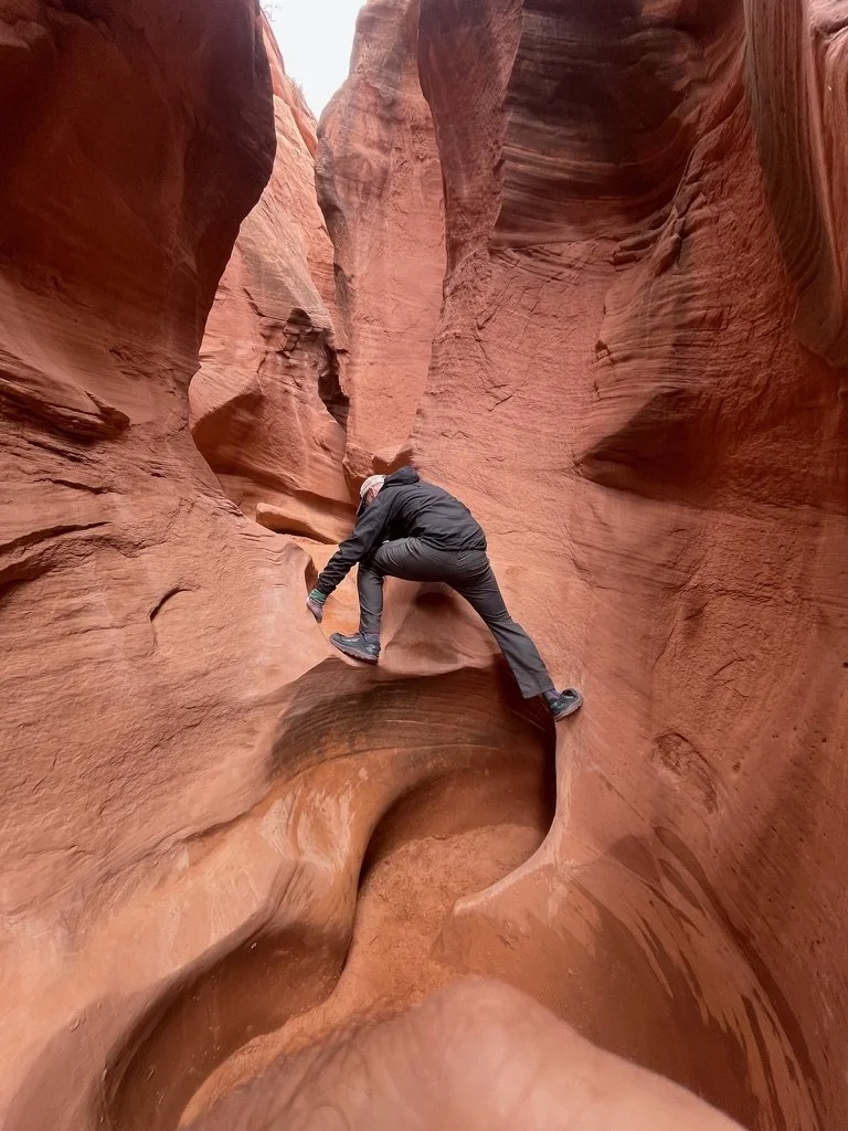
As we moved through, up and down the slot canyon we felt like little boys out playing. It was pure fun and we laughed like we were eight again.
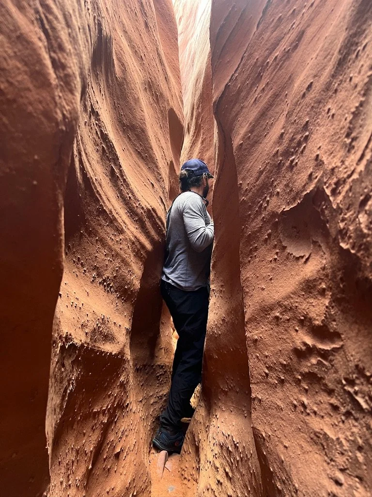
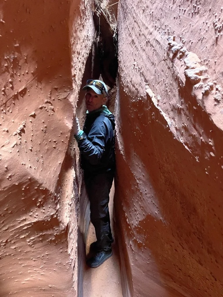
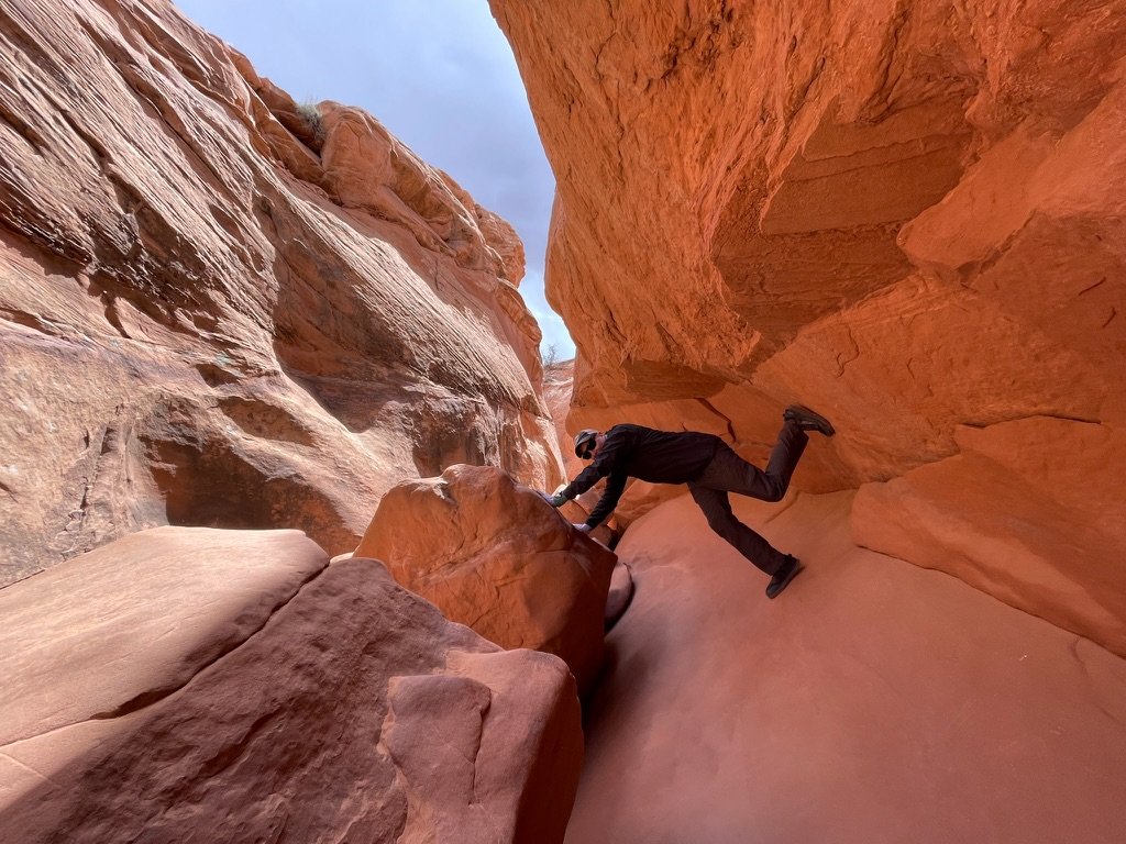
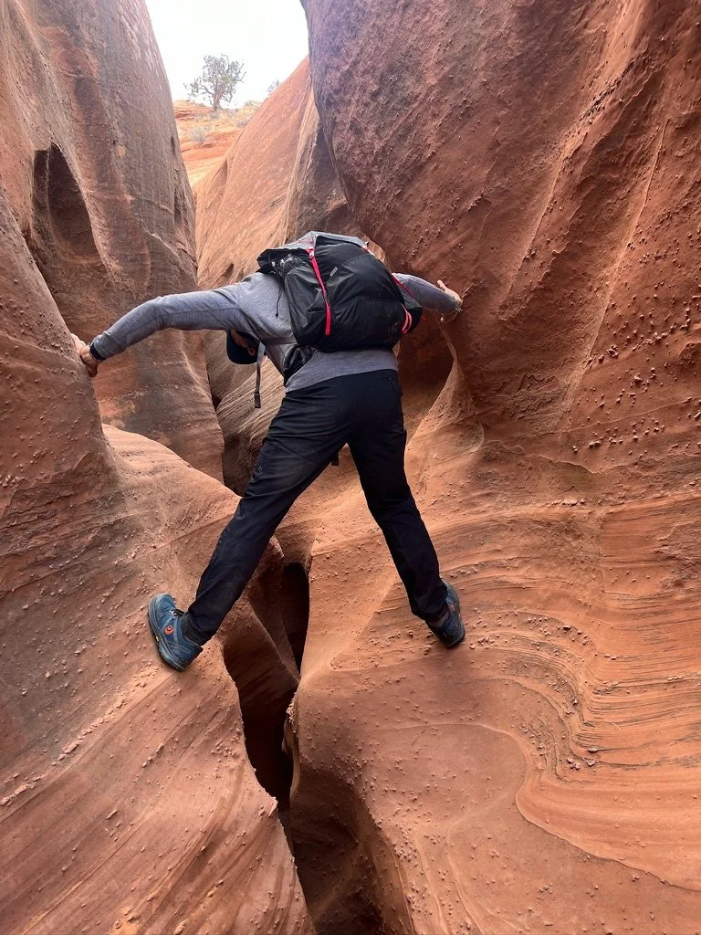
We continued moving slowly, using our hands and feet for leverage, particularly for climbing or maneuvering through the many narrow passages. This is called "stemming” which is a technique involving pressing your hands and feet against opposite walls of the canyon to support your body weight and maintain balance as you navigate the terrain. Total and complete fun!
We popped out on the other side of Spooky and sat for some lunch. And the graupel started. Graupel forms when snowflakes encounter supercooled water droplets in the atmosphere, causing the snowflakes to become coated with a layer of ice. The result - small, soft pellets that are lighter and softer than hailstones but denser than typical snowflakes. This would be our first, but not our last graupel of the trip.
Spring Break 2024 Day 7
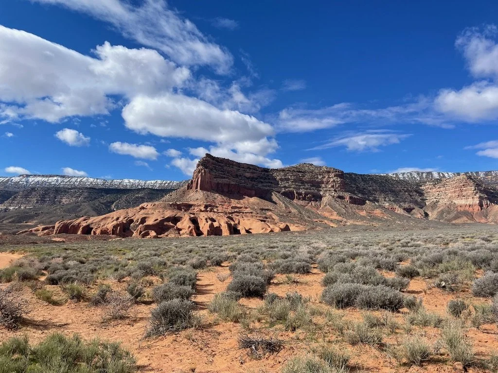
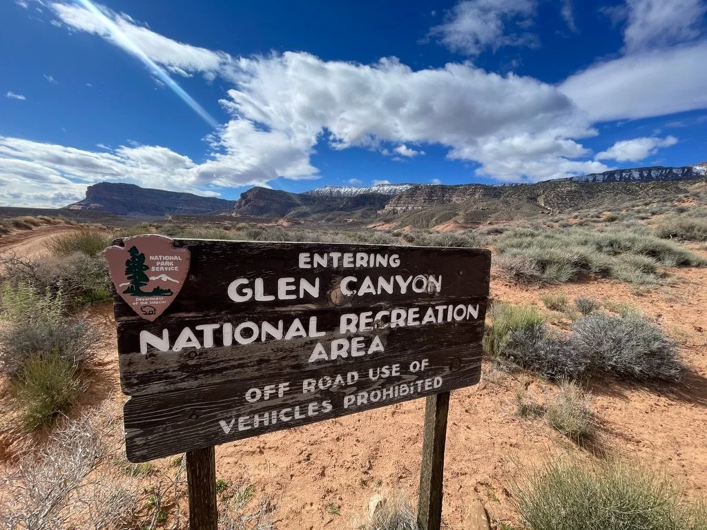
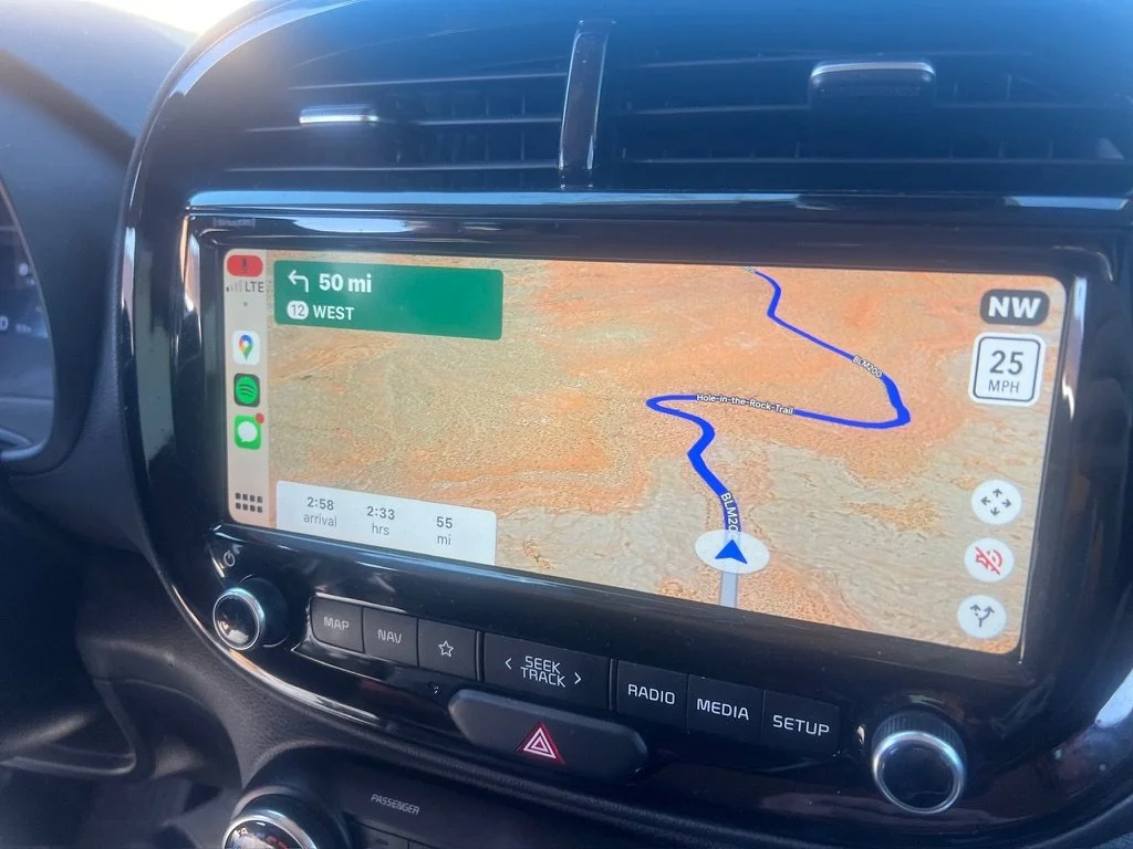
The weather outlook hadn’t changed. Temperatures more than a thousand feet higher in Capitol Reef NP were still going to be in the upper 20’s. Temperatures in the backcountry of Escalante on the other hand would be in the balmy lower 30’s. The decision was made. We’d stay in Escalante. Another trip to the Visitor Center the afternoon before to secure a backcountry permit had sealed the deal. We’d heard of a fabled area called Reflection Canyon. It was at the end of Hole in the Rock Road. Twice as far as we’d driven on that road thus far at 50 miles. The last 10 miles in Glen Canyon National Recreation Area were “unimproved” and would probably necessitate, “getting out of the car quite often to move big rocks out of the road.” The Kia Soul smiled at this and was ready. After some solid coffee at the Escalante Outfitters we hit the road. The first hour flew by with almost no other cars on the road and a constant speed of 35ish miles per hour. After an hour, and passing the trailhead we’d used the day before, the road got a bit more tricky winding its way up and down a series of dry washes. The Kia prevailed. Two hours in we had just passed the entry to Glen Canyon NRA and the road did indeed get more rough. We slowed to 5-10 miles per hour and continued. We had decided that as long as the road was dry, we’d continue. The danger back there was getting stuck in the notorious Escalante clay mud. The forecast called for some showers in the afternoon with almost no accumulation. We continued. We never had to move a single rock and in just two hours and 36 minutes we arrived at the trailhead to find only two other cars.
We had a snack, filled up on 4 liters of water each (as we were told there would be no water unless we found some “by chance at a pothole from past precipitation”) and hit the trail. It was a bit after noon and the sky was growing stormy..
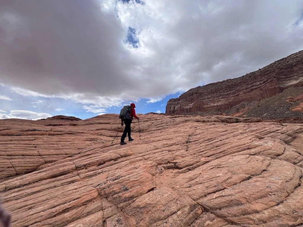
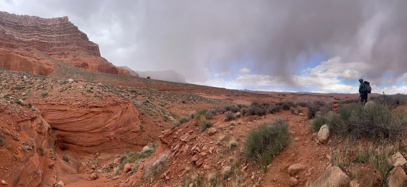
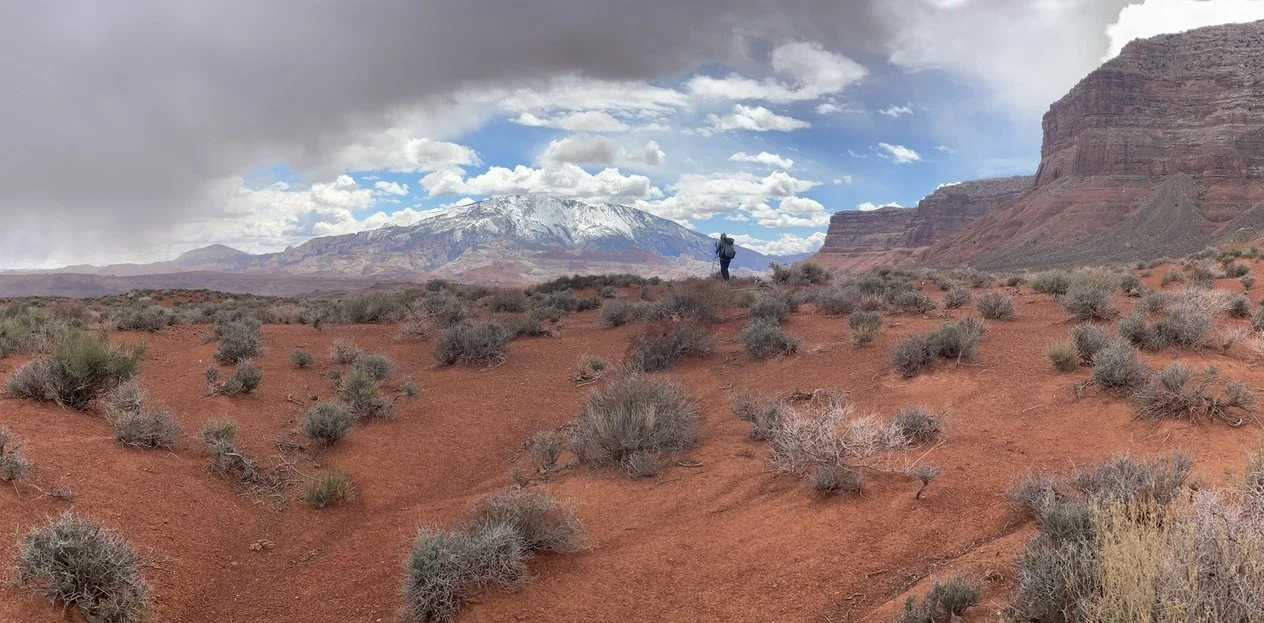
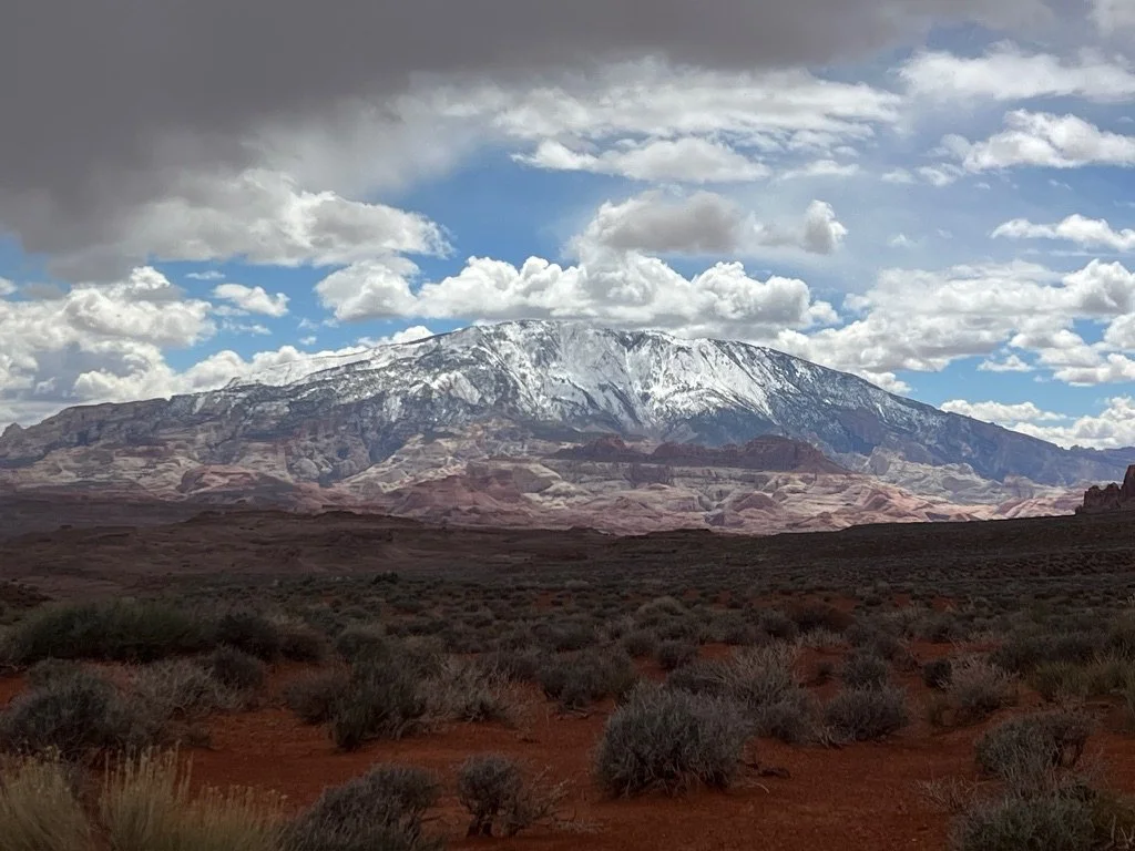
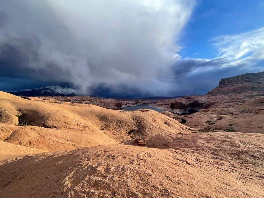
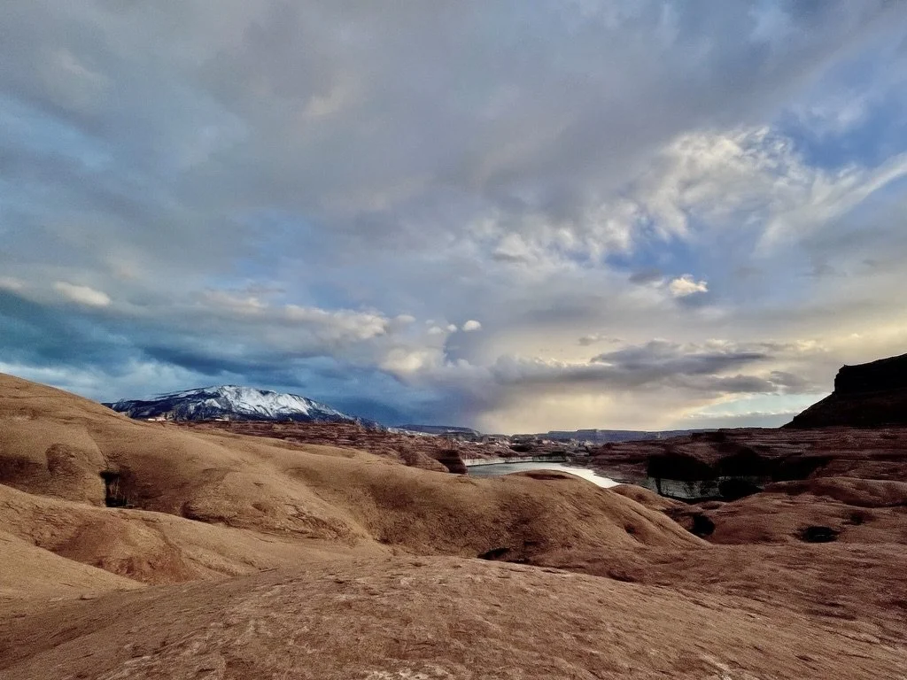
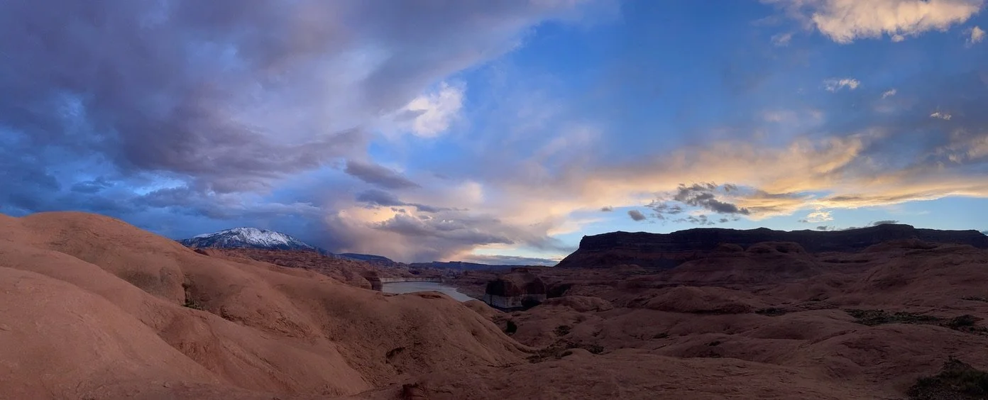
Two miles into the walk we were literally surrounded by storms. Some cresting the 50 Bench paralleling our drive and now our hike, some gaining ground on us from behind and the biggest one hammering the 10,000ft peak of Navajo Mountain directly in front of us. Landscape was turning white in front of our eyes. This not only meant that we could be hit at any time by one or more of these storms, but the precipitation also threatened to strand us the next day at the end of Hold in the Rock Road in a rented 2-wheel drive Kia Soul with 50 muddy miles between us and Highway 12. Nothing to do now but appreciate the beauty and hike on.
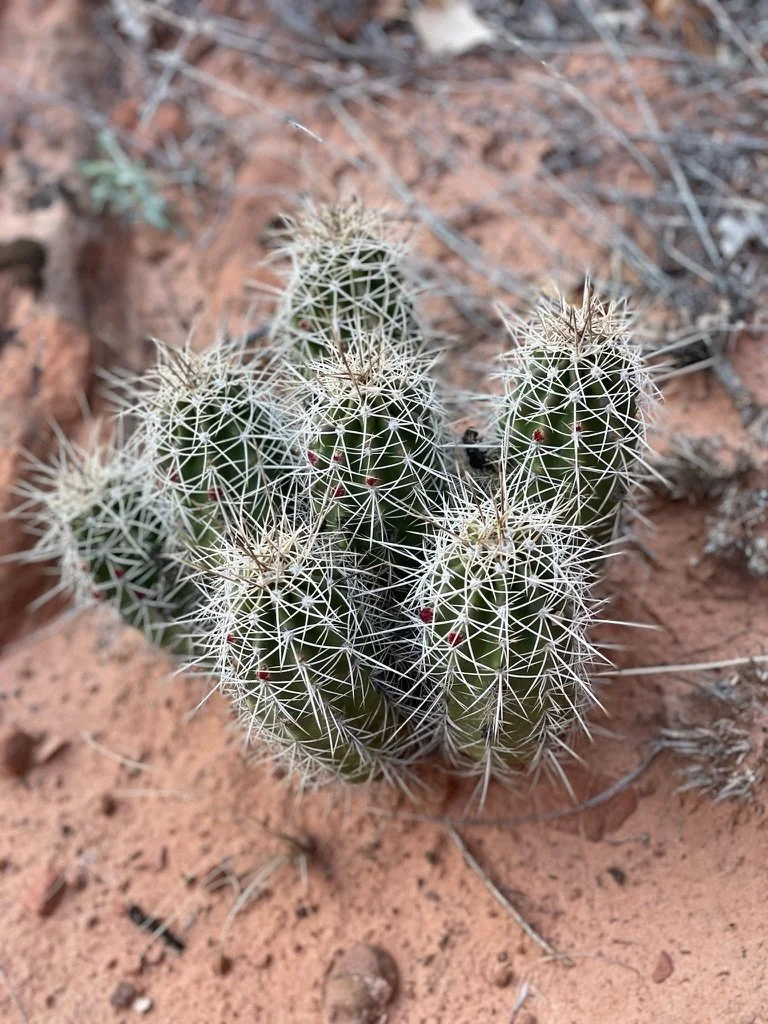
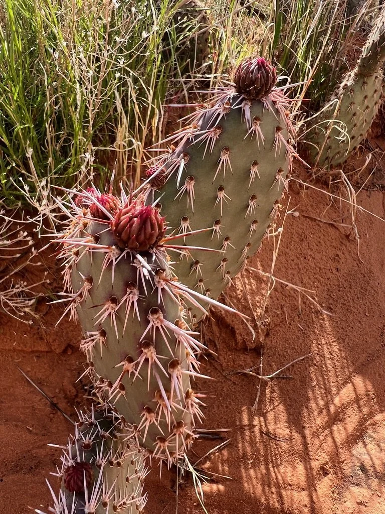
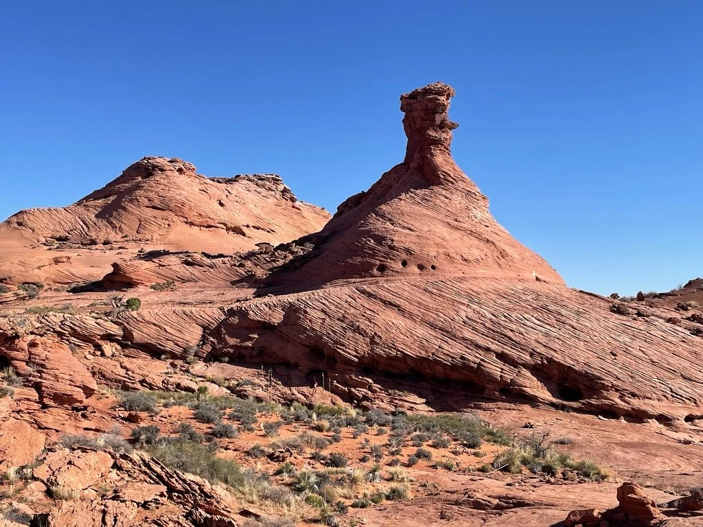
And it was beautiful. From the smallest blooms on cactus below our feet, to the wide open landscapes covered with fascinating formations and up to the sky in every direction putting on an amazing show. Every step was a gift.
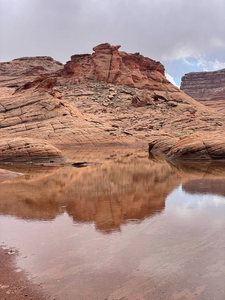
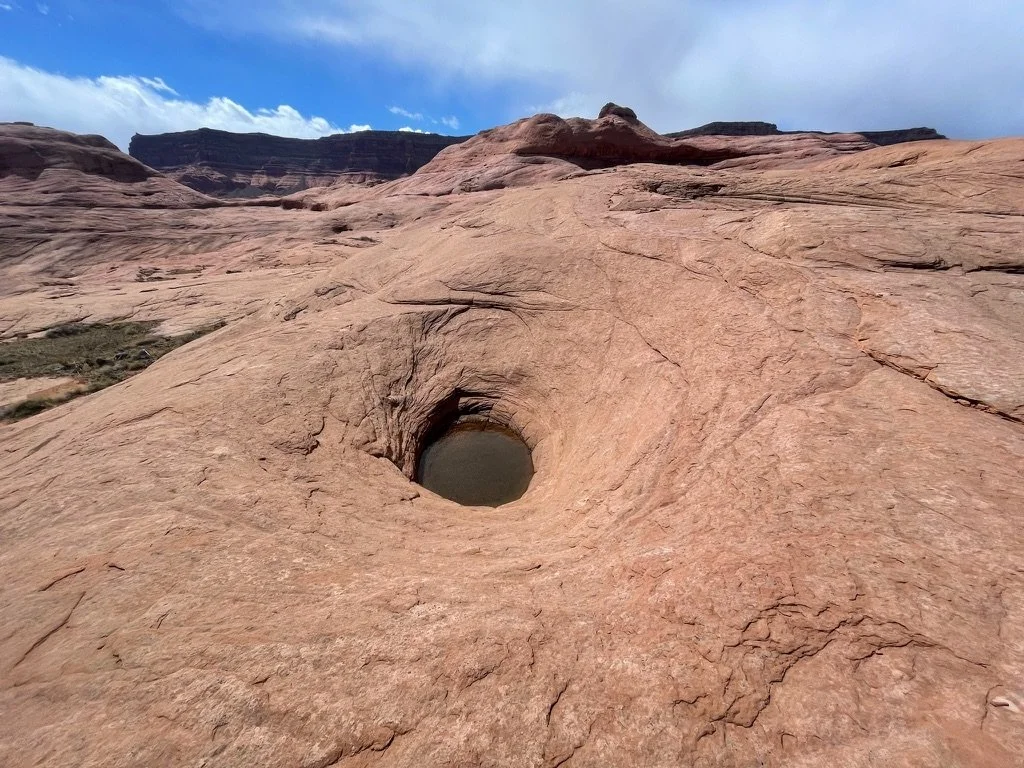
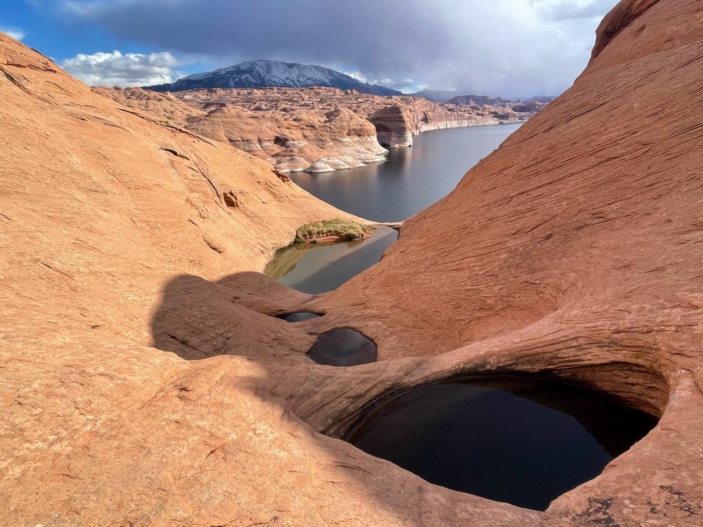
“No water” is what we were told. Four liters of water each. That was 8.8 lbs of extra weight on our backs for 7 miles thus far. The previous week of rains had made other plans. Here, we found water. Enough to drink. Even enough to swim in if we had wanted. Some in shallow ponds. Some in puddles. Others in deep potholes. The rock formations continued to grow more complex. The storms were getting closer and it was starting to rain.
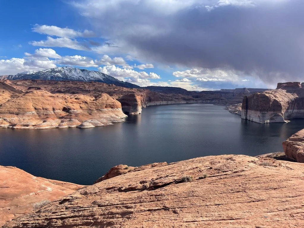
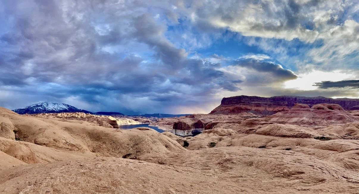
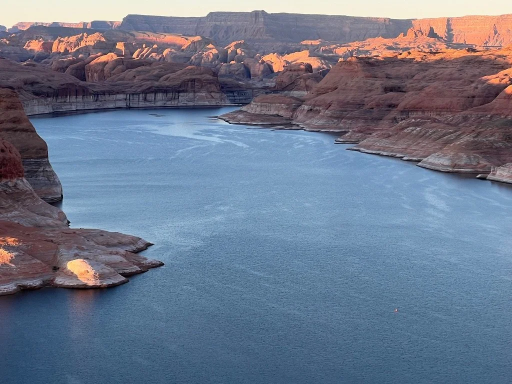
And 8 miles later, Lake Powell, with a storm covered Navajo Mountain, appeared gigantic in the distance…
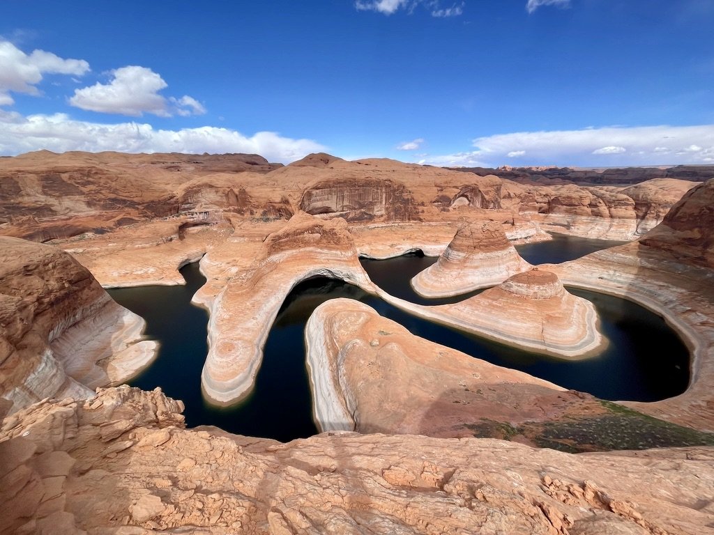
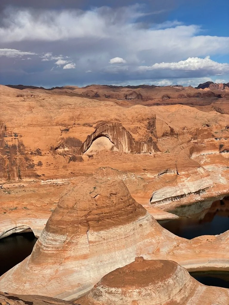
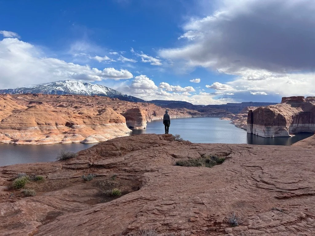
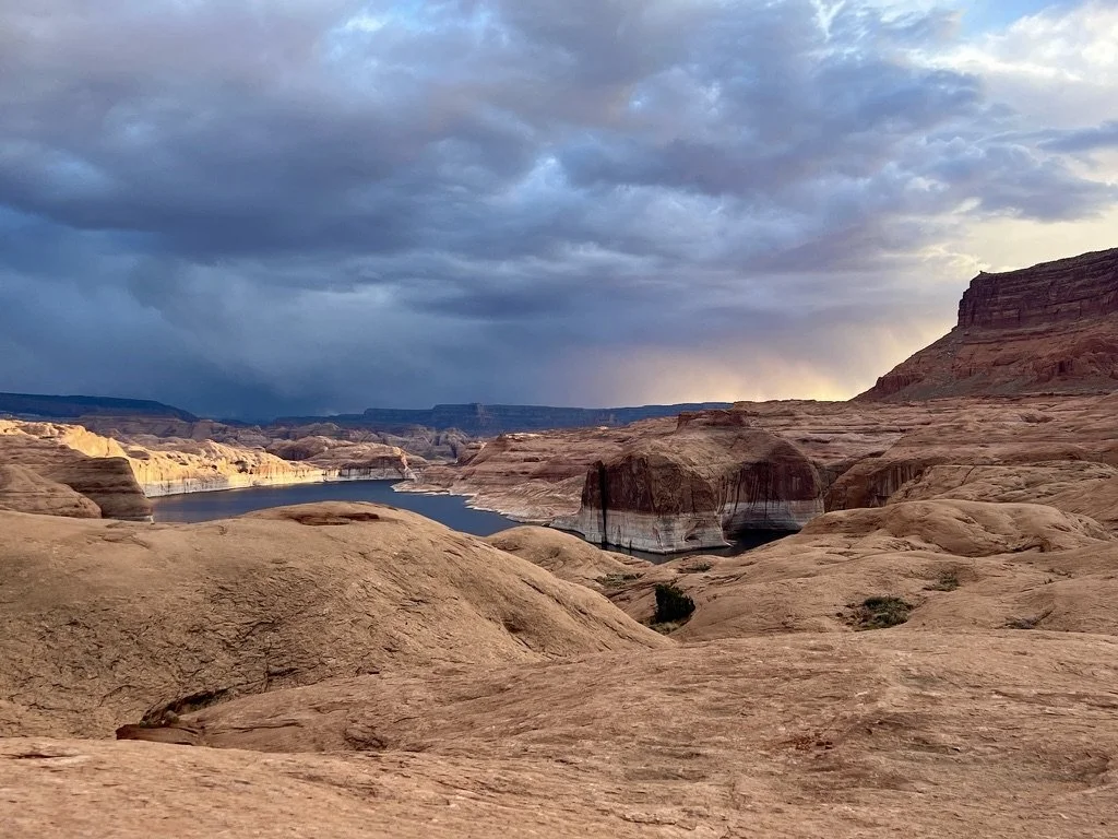
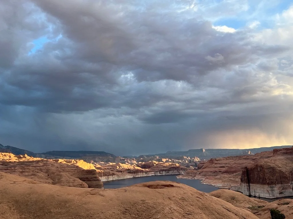
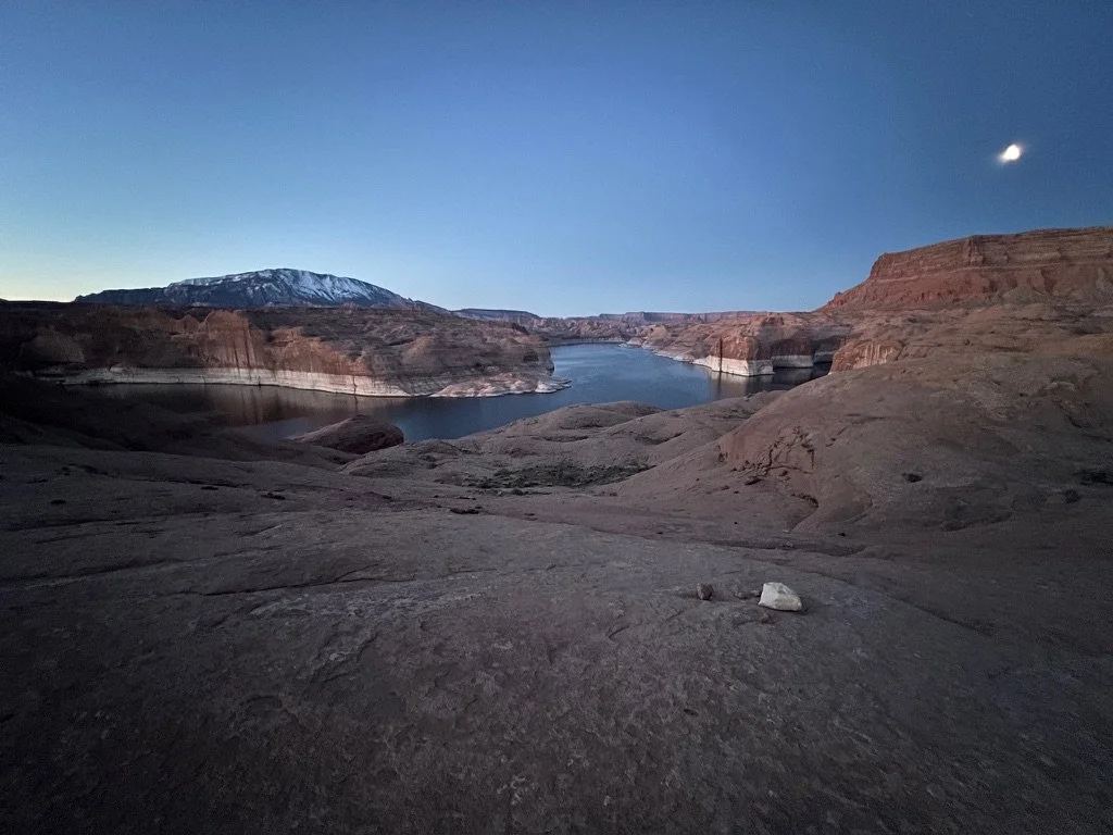
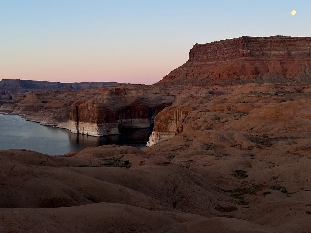
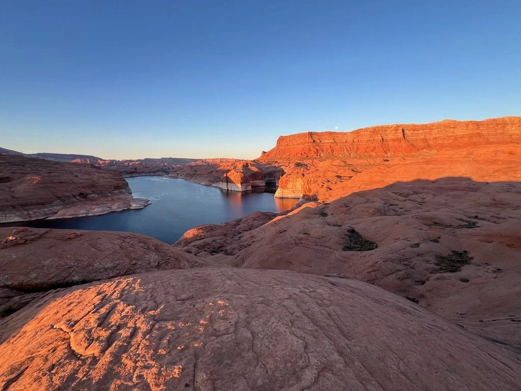
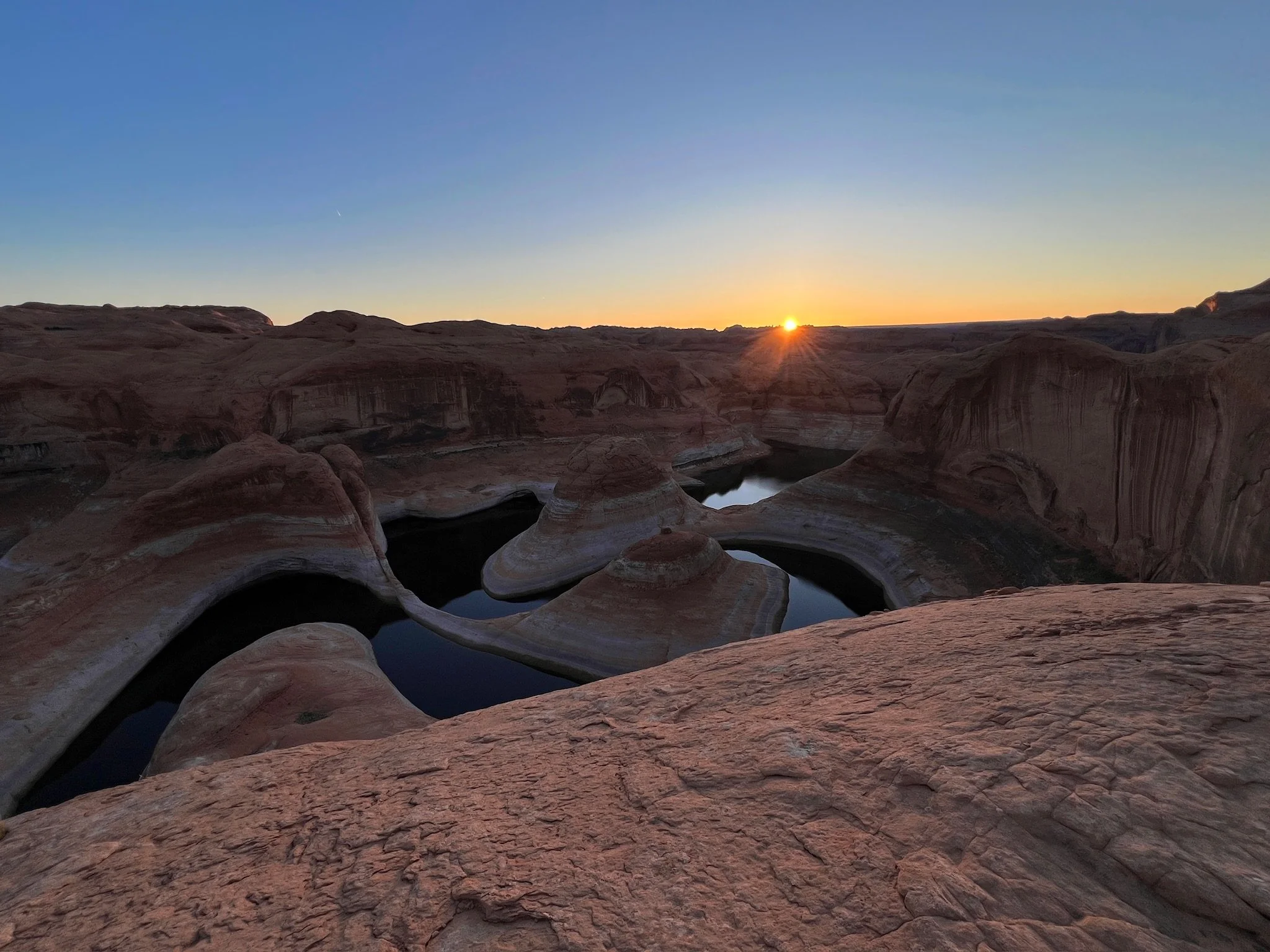
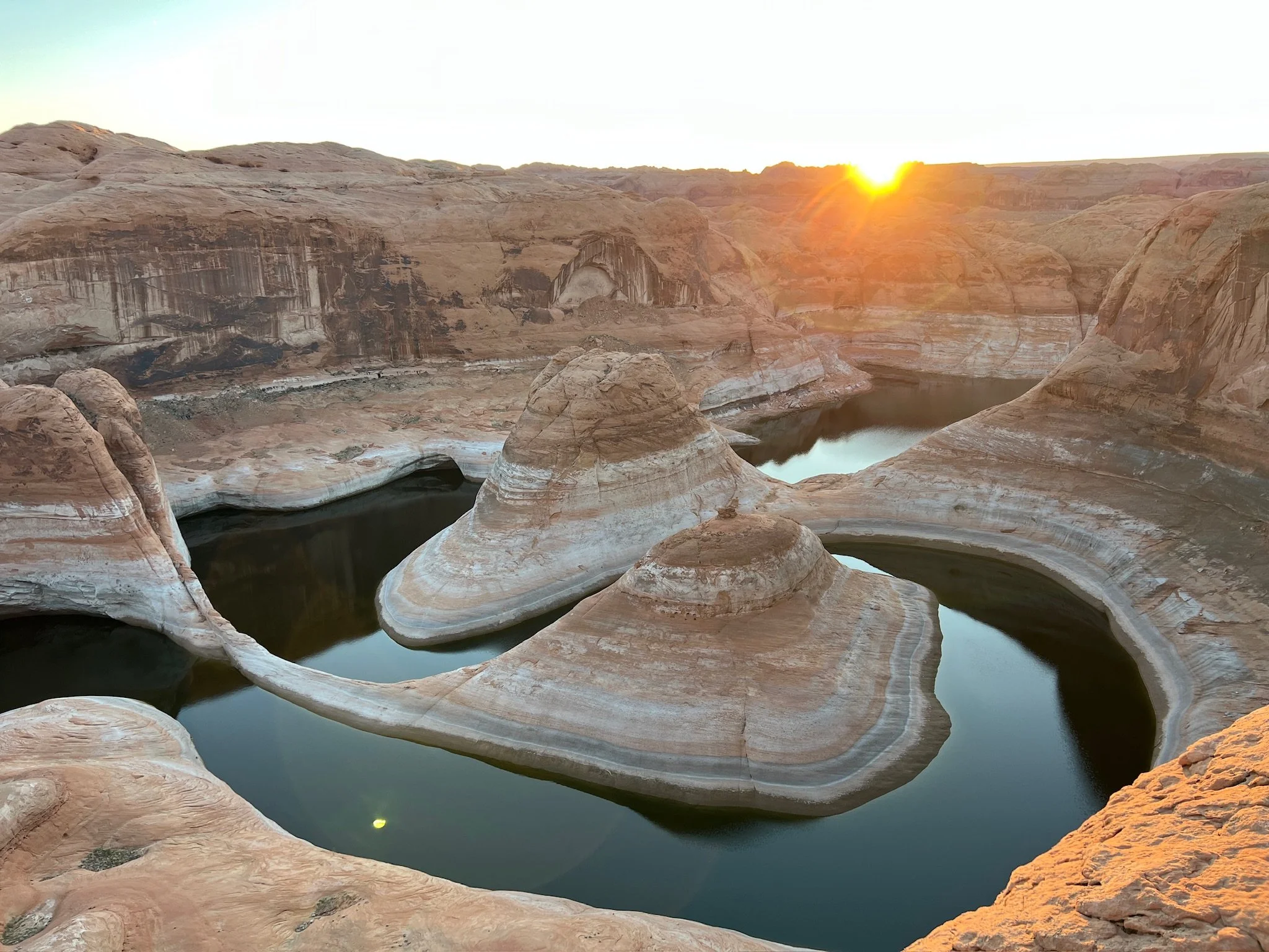
And there it was. Reflection Canyon. Just like many other canyons in the area, it was formed through the process of erosion. This area was carved out by the persistent action of the Colorado River over millions of years. The river's flow, combined with weathering and the movement of sediment, gradually wore away at the sandstone layers, creating the deep, narrow canyon. All of that action happened for millions of years. And then, Hoover Dam was built. This part of the Colorado River became “Lake Powell.” And almost all of that ongoing erosion just stopped. To try to comprehend all of that time, all of that energy and all of that motion while looking straight down, was overwhelming.
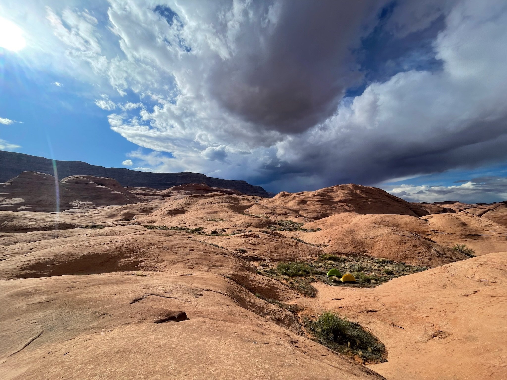
There were two people at the canyon’s edge. We couldn’t tell if they were together or solo. We gave them space and moved on. Later we would see one walking off into the distance. We never saw her again. The other set up his tent on the rim. We only got a couple peeks at him tas he was taking pictures later in the day. Those were the two cars we had seen. The four of us were the only ones for miles around. We set up camp in a small depression to protect the tents from the powerful wind gusts that were now blowing often. Once the tents were staked down, and the stakes were covered in rocks, we ventured out to explore.
Pablo had seen some caves a bit of a way off and up high he wanted to explore. I was game, but stated that the incline looked pretty steep.
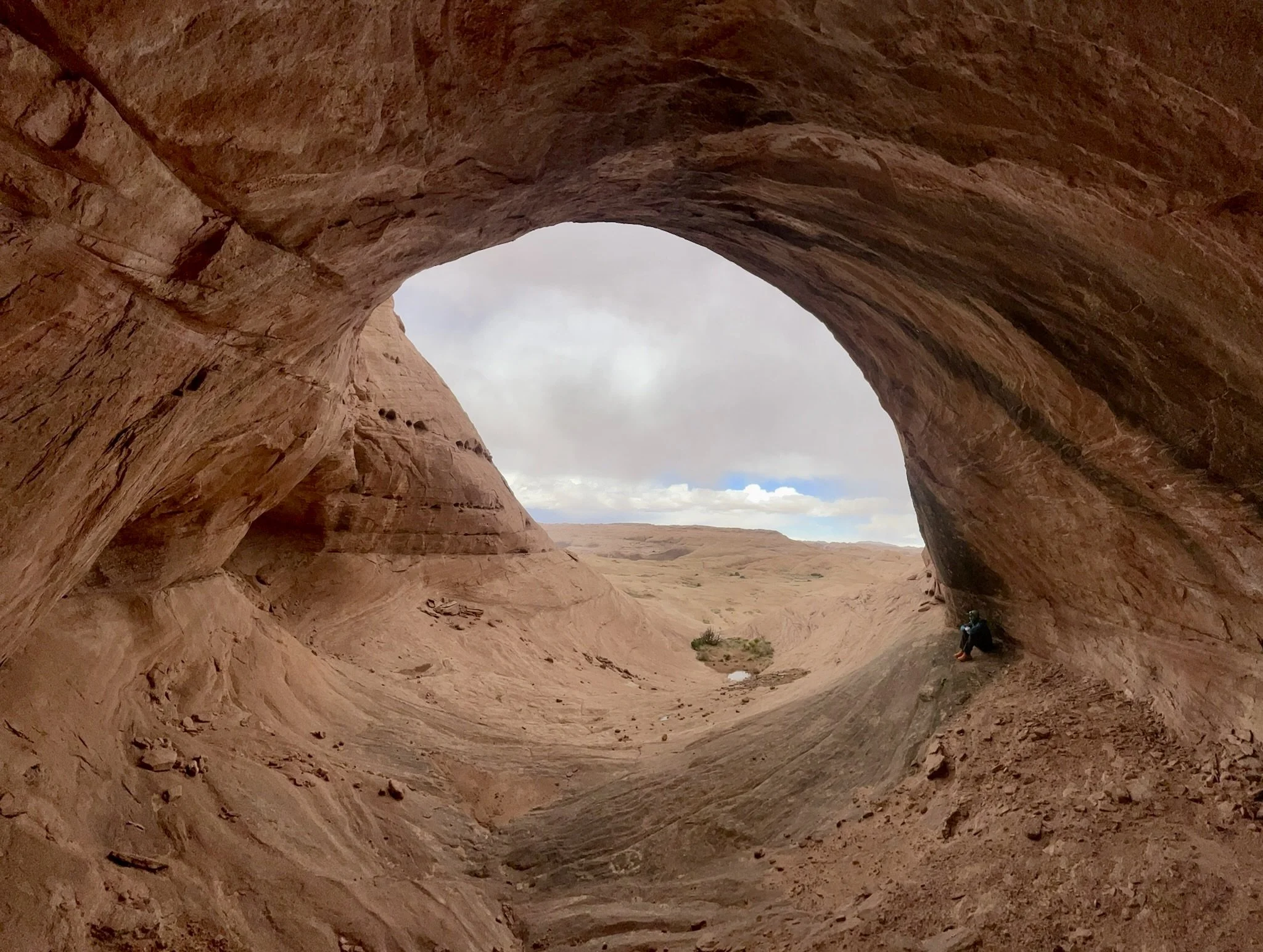
In about 20 minutes we were at the foot of the climb. It was steep but doable. The clouds continued to build and the winds grew even more powerful. Finally, we were in the biggest of the three caves. It was much smaller than it looked from a half mile away and a couple hundred feet down, but we were still tiny when inside. Just as I sat down in the mouth of the cave the graupel started. It was the largest we had seen and the temperature dropped 5-10 degrees in just minutes. We decided to get down quickly. The descent was sketchy as the sandstone immediately turned slippery from the precipitation. Down felt much more steep than up and after a few re-routes, we were back down safely. In that short descent, the storm passed and the temperatures rose. We continued our exploration with many views of Lake Powell which was hundreds of feet below us with no accessible routes.
Evening was one of the best shows I’ve been to. But morning wasn’t too shabby either. The storms continued to pound the landscape around us making for dramatic colors and textures everywhere. We just couldn’t stop shooting pictures. I’d turn to look in one direction and was blown away taking the picture only to then turn another to see something equally if not more amazing.
Spring Break 2024 Day 8
A cold night. My water bottles had ice chunks in them when I awoke. We got some rain and wind for about an hour the night before, but woke up to a crystal clear sky. I’d set my alarm to be up for sunrise, but woke with an excitement in my bones an hour earlier. The air was perfectly calm as I climbed out of my tent and made my way up to the ridge for a front row seat. I lit my stove, made some coffee and settled in for the show.
It didn’t disappoint. Moonset at sunrise is the gift we were given. The moon setting over 50 Mile Bench to our west. The sun rising over Reflection Canyon to our east. It was truly special to see this celestial anomaly in such a spiritual place. I bounced back and forth taking pictures enjoying every single second.
It was over as quickly as it began and we started packing up for our 8 mile walk back to the trailhead.
Our journey through the high desert of Escalante National Monument had been an unforgettable adventure filled with highs, lows and moments of sheer wonder. Over the course of seven days, we immersed ourselves in the rugged beauty of the wilderness working our way through canyons, navigating rocky terrain, appreciating the indigenous history of the area and finding silence deep in nature. Through it all, we hiked a total of 90 hard-earned miles. As we said farewell to the wilderness and hit the trailhead, we were grateful for the entirely dry 50-mile road, the last possible barrier to home.
There is so much to see and appreciate in this vast country. We saw only a tiny sampling. I’ll be back. But…probably not in a Kia Soul.


